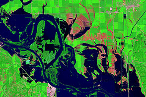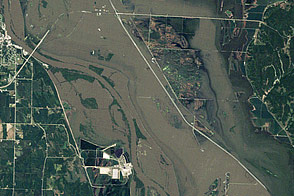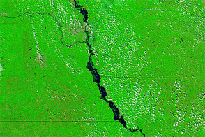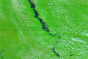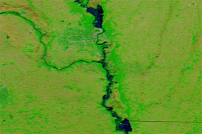
Flood waters continued moving down the Missouri River on July 10, 2011. The Moderate Resolution Imaging Spectroradiometer (MODIS) on NASA’s Terra satellite captured the top image the same day. For comparison, the bottom image shows the same area a year earlier.
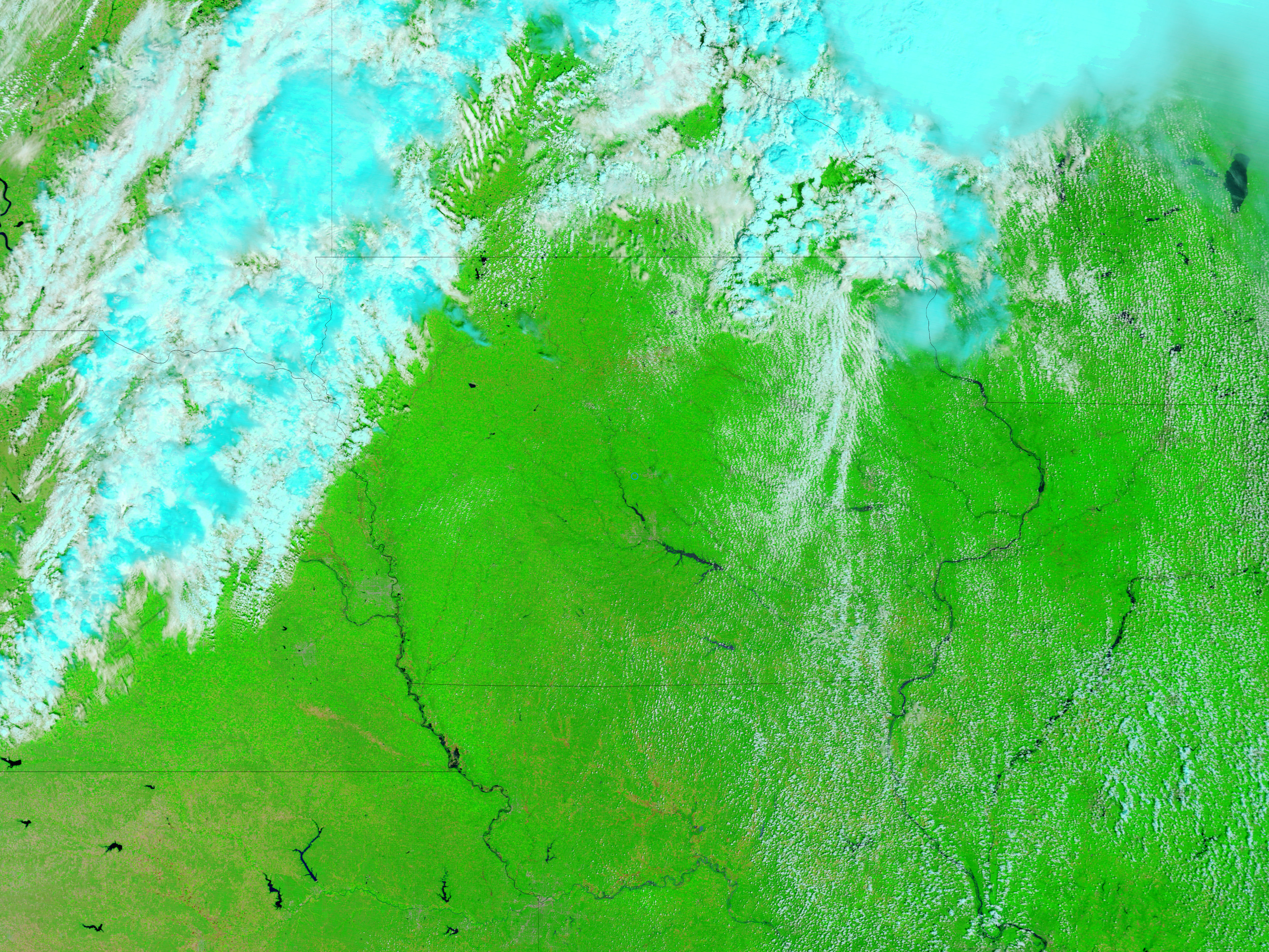
Both images use a combination of visible and infrared light to increase contrast between water and land. Water ranges from electric blue to navy. Land ranges in color from green to brown. Clouds are pale blue-green or off-white and cast shadows. In the image from 2011, flooding is most apparent between Atchison and Leavenworth, but high water is also visible north to St. Joseph, and east to Glasgow.
On July 11, 2011, the Advanced Hydrological Prediction Service (AHPS) of the U.S. National Weather Service reported major flooding in St. Joseph, Missouri. The AHPS also reported moderate flooding in the Kansas communities of Atchison and Leavenworth, and in the Missouri communities of Sibley, Napoleon, Waverly, Miami, and Glasgow.
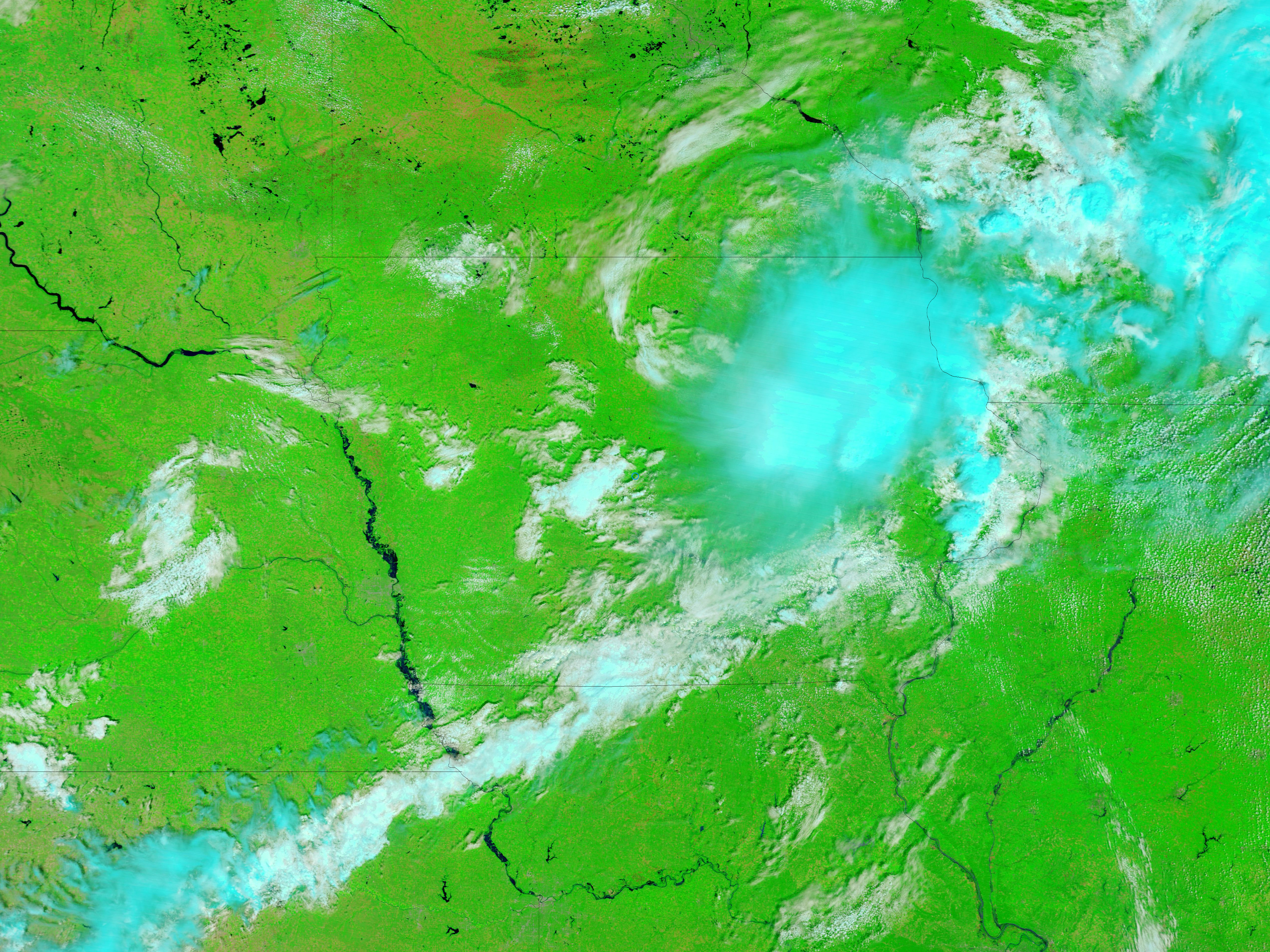
As flooding spread downstream, flood conditions also persisted upstream on the Missouri River. Flooding continued along the eastern border of Nebraska (visible in the high-resolution image from 2011).
NASA images courtesy MODIS Rapid Response Team, Goddard Space Flight Center. Caption by Michon Scott.