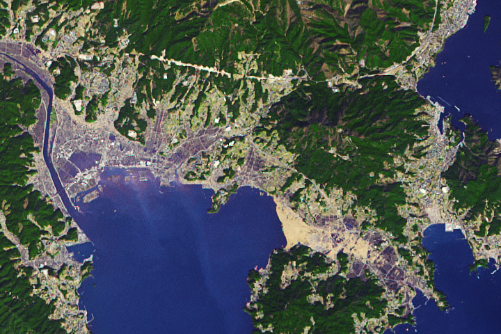
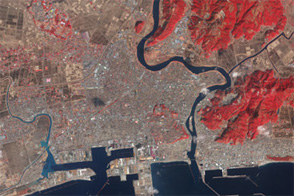
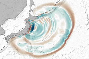
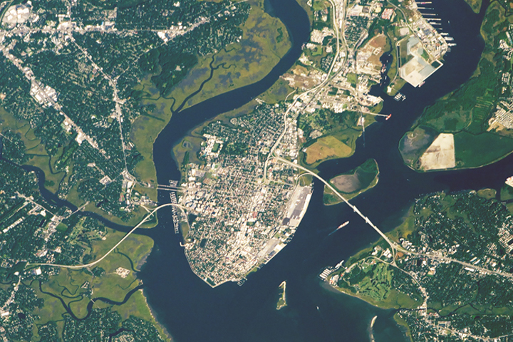
Through a thin haze of clouds, flooding was still discernible south of Sendai days after the massive earthquake and resulting tsunami that devastated Japan. An Expedition 26 crew member on the International Space Station took this photograph on March 14, 2011.
This image is rotated slightly so north is to the upper right. The metropolitan area of Sendai appears in shades of beige and gray. The coastal plain east and south of the city appears dark due to flood waters sitting on normally dry land. Rivers meandering to the coast blend with the inundated lands now surrounding them.
This photo was taken from an altitude of 215 miles (345 kilometers). Compared to an astronaut photo acquired the previous day, this image appears to have been captured from a higher altitude, but the seeming difference is due to the camera lens.
Astronaut photograph ISS026-E-34079 was acquired on March 14, 2011, with a Nikon D2Xs digital camera using a 200 mm lens, and is provided by the ISS Crew Earth Observations experiment and Image Science & Analysis Laboratory, Johnson Space Center. The image was taken by the Expedition 26 crew. The image in this article has been cropped and enhanced to improve contrast. Lens artifacts have been removed. The International Space Station Program supports the laboratory as part of the ISS National Lab to help astronauts take pictures of Earth that will be of the greatest value to scientists and the public, and to make those images freely available on the Internet. Additional images taken by astronauts and cosmonauts can be viewed at the NASA/JSC Gateway to Astronaut Photography of Earth. Caption by Michon Scott.