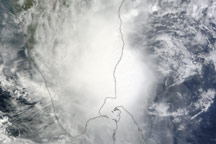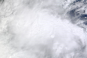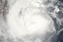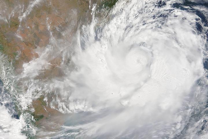
Over the northern Indian Ocean, Jal strengthened to a tropical storm on November 4, and turned into a cyclone two days later. At its peak, the storm had winds of 70 knots (130 kilometers per hour), according to Unisys Weather. Jal weakened to a tropical storm on November 7 and withered to tropical depression the following day.
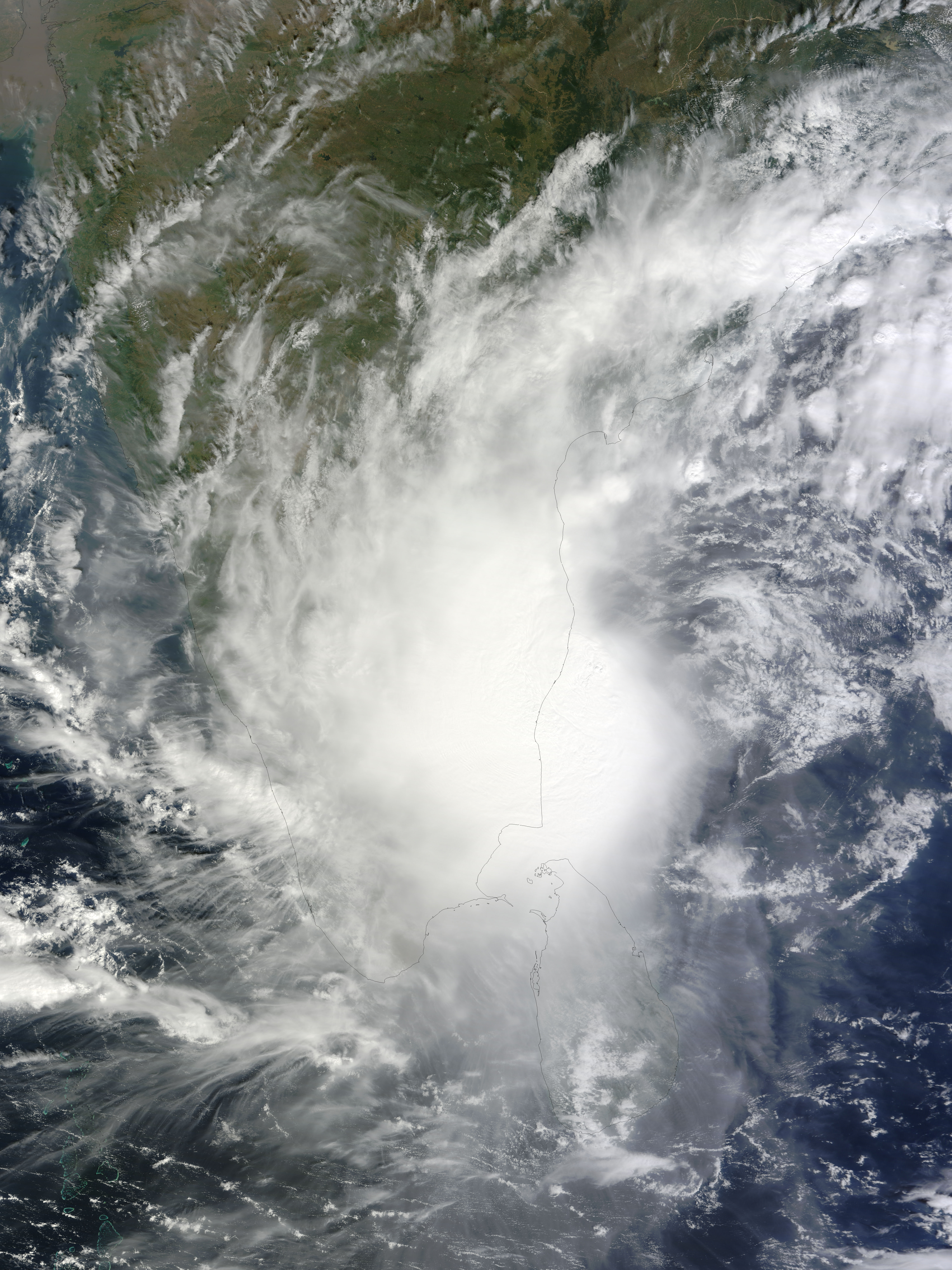
The Moderate Resolution Imaging Spectroradiometer (MODIS) on NASA’s Terra satellite captured this natural-color image of Jal along the coast of India, immediately north of Sri Lanka, on November 7, 2010. Although the storm lacks a distinct eye, it spans hundreds of kilometers, hiding most of southern India and northern Sri Lanka from the satellite sensor.
NASA image by Jeff Schmaltz, MODIS Rapid Response Team, Goddard Space Flight Center. Caption by Michon Scott.