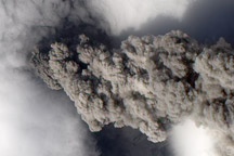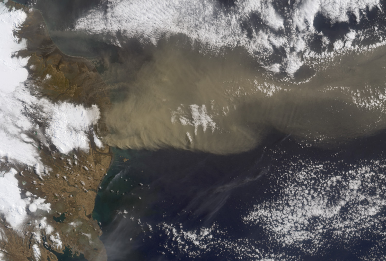
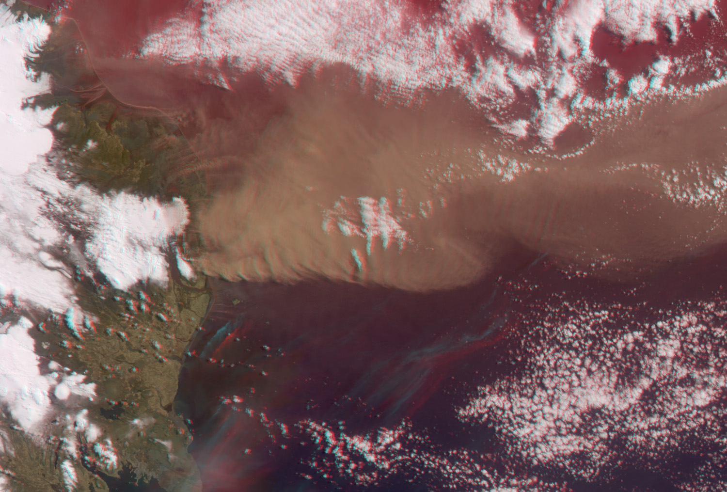
NASA’s Terra satellite flew directly over Iceland on April 19, 2010, allowing the Multi-angle Imaging SpectroRadiometer (MISR) instrument to capture a series of images of the Eyjafjallajökull volcano and its erupting ash plume. The top image is a view from MISR’s nadir (vertical-viewing) camera, and it covers an area measuring 412.5 by 279 kilometers (256.3 by 173.4 miles). The bottom image is a stereo anaglyph generated from the nadir and 46-degree forward-viewing cameras. The plume height can be estimated by viewing the anaglyph with red/blue 3-D glasses (place the red filter over your left eye).
In these images, north is at the left, and east at the top. In addition to the main plume, there are some smaller streamers visible to the east (above) it. They are at lower altitude than the main plume. Due to the presence of wind, which causes the plume features to move between successive camera views, the anaglyph gives the misleading impression that they are below the land surface.
An analysis of these data show that the smaller streamers were just several hundred meters above the surface, whereas the main plume extended to an altitude of about 4.5 kilometers (2.8 miles).
Image and caption courtesy NASA/GSFC/LaRC/JPL, MISR Team.