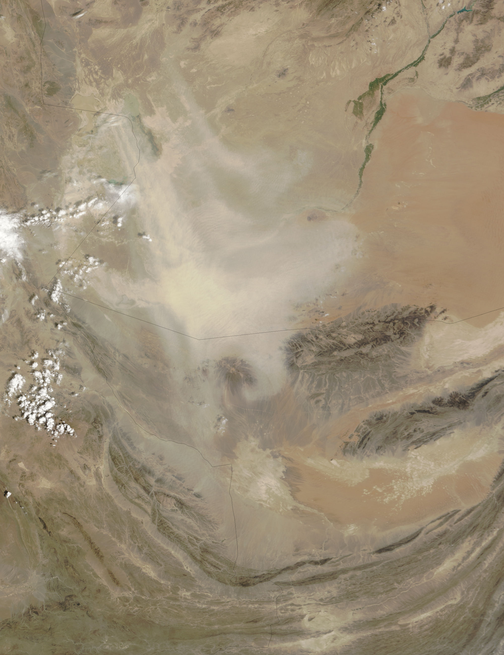
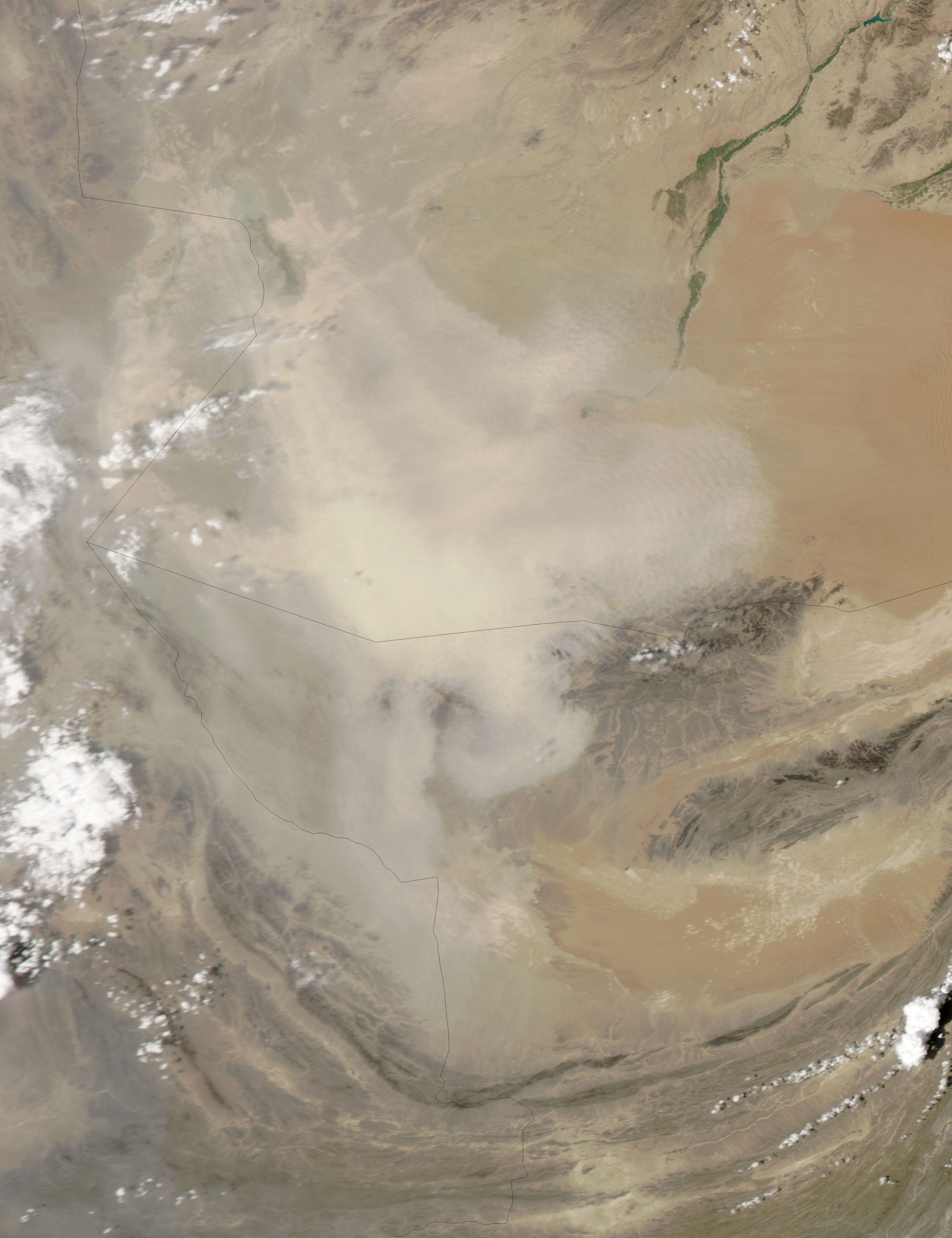
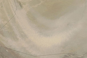
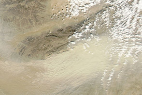
A large dust storm swept out of western Afghanistan on August 25, 2009. The dust originated in the dry lakebeds of the Sistan Wetlands. Distinct plumes rise from the pale lakebeds in the top image, captured by the Moderate Resolution Imaging Spectroradiometer (MODIS) on NASA’s Terra satellite at 11:25 a.m. local time. An hour and a half later, when the Aqua satellite flew over, the distinct plumes had blended into a broad cloud of dust that reached far into Pakistan (lower image).
The salt lakes of the Sistan Wetlands fill when water drains out of the mountains of eastern Iran and western Afghanistan. When the water dries, it leaves a fine layer of sediment that is easily lifted in the wind. The basin is one of the most active sources of dust in the Iran-Afghanistan-Pakistan basin.
The large images provided above are at MODIS’ maximum resolution of 250 meters per pixel. Both the Terra image and the Aqua image are available in additional resolutions.
NASA images courtesy Jeff Schmaltz, MODIS Rapid Response Team at NASA GSFC. Caption by Holli Riebeek.


