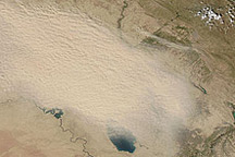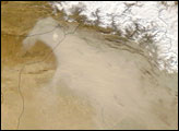

In early July 2009, Iraq experienced the worst dust storm in living memory, according to news reports. The storm raged over Iraq for more than a week, causing hundreds of hospitalizations and claiming at least three lives. The dust spread eastward to Iran and also hovered over the Arabian Peninsula.
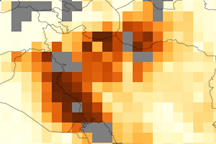
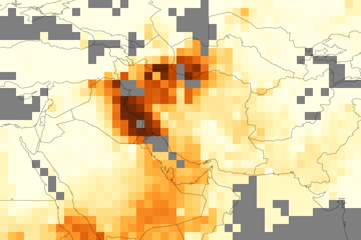
Satellites that acquire photo-like images of the Earth can give a general sense of how thick a dust plume is, namely whether it’s thin enough to allow a fuzzy glimpse of the surface below, or thick enough to completely obscure the underlying land or ocean. The Ozone Monitoring Instrument (OMI) on NASA’s Aura satellite provides another view of dust storms by measuring their effects on sunlight. Aerosols—solid or liquid particles suspended in the air—can absorb or reflect sunlight before it reaches Earth’s surface.
OMI observed aerosols over Iran, Iraq, and the Arabian Peninsula on July 5-6, 2009. The top image shows the aerosol absorption optical depth, a measure of how much light is prevented from reaching the ground surface due to absorption by dust particles. Yellow indicates the most light reaching the surface and dark brown indicates the least light reaching the surface. Gray indicates areas where OMI collected no data, most likely due to clouds.
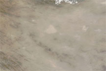
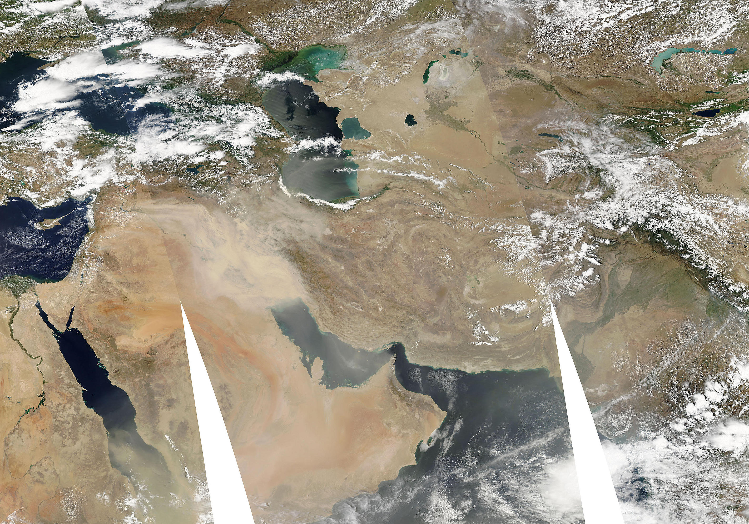
For comparison, the bottom image shows the same region observed by the Moderate Resolution Imaging Spectroradiometer (MODIS) on NASA’s Aqua satellite on July 5, 2009. Thick dust hovers over western Iran and eastern Iraq, and thinner dust spreads over the Persian Gulf and Arabian Peninsula. Gray areas indicate gaps between Aqua overpasses.
NASA images created by Jesse Allen, using OMI aerosol data provided courtesy of Omar Torres (Hampton University) and Changwoo Ahn (SSAI). Caption by Omar Torres and Michon Scott.