browse image of orbit 20510 (430 kB JPEG)
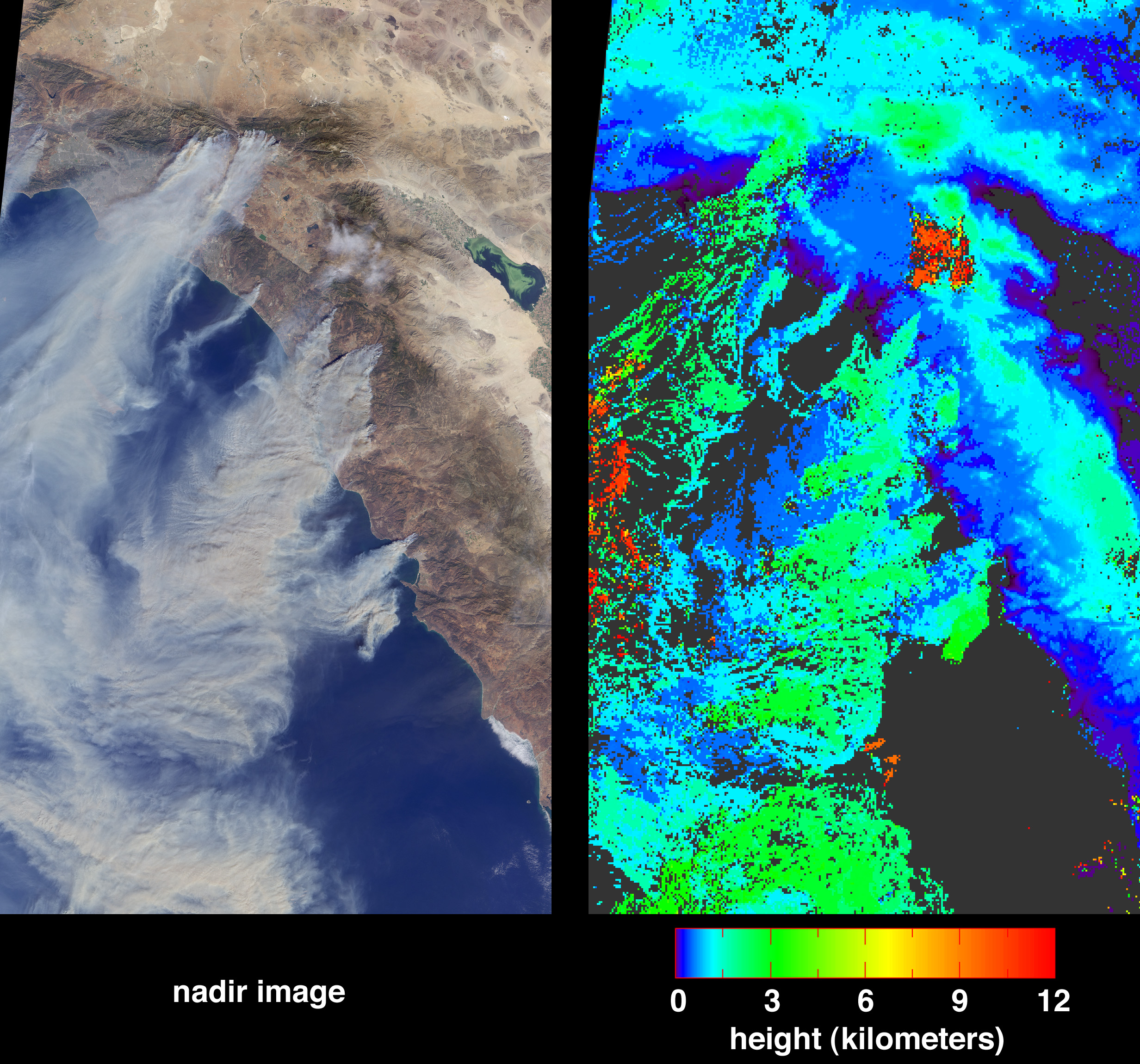
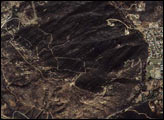
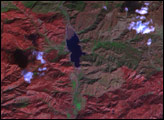
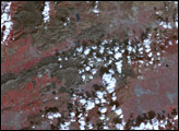
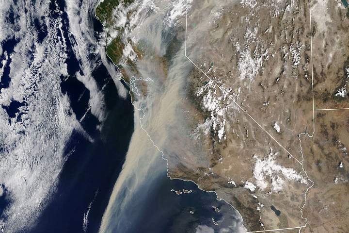
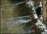
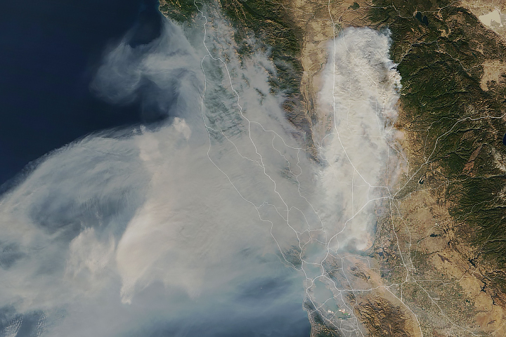
Large plumes of smoke rising from devastating wildfires burning near Los Angeles and San Diego on Sunday, October 26, 2003, are highlighted in this set of images from the Multi-angle Imaging SpectroRadiometer (MISR). These images include a natural color view from MISR’s nadir camera (left) and an automated stereo height retrieval (right). The tops of the smoke plumes range in altitude from 500–3000 meters, and the stereo retrieval clearly differentiates the smoke (in shades of blue and green) from patches of high-altitude cirrus (red). Plumes are apparent from fires burning near the California-Mexico border, San Diego, Camp Pendleton, the foothills of the San Bernardino Mountains, and in and around Simi Valley. The majority of the smoke is coming from the fires near San Diego (central, large plume) and the San Bernardino Mountains (to the northwest).
The Multiangle Imaging SpectroRadiometer observes the daylit Earth continuously and every 9 days views the entire globe between 82° north and 82° south latitude. These data products were generated from a portion of the imagery acquired during Terra orbit 20510. The MISR Browse Image Viewer provides access to low-resolution true-color versions of these images. The panels cover an area of 329 kilometers x 543 kilometers, and utilize data from blocks 62 to 66 within World Reference System-2 path 40.
Image courtesy NASA/GSFC/LaRC/JPL, MISR Team.


