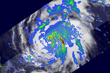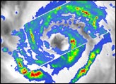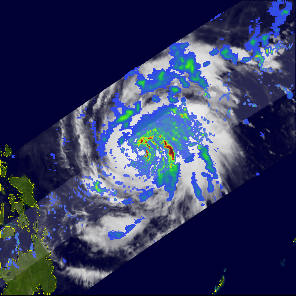
Rain rates in a few cloud bands on the eastern side of Typhoon Dolphin approached 50 millimeters per hour (red) when the storm was observed by the Tropical Rainfall Measuring Mission (TRMM) satellite on December 14, 2008. Light to moderate (blue to green) rain was observed in other parts of the storm. Dolphin was more than a hundred kilometers east of the Philippines and was forecast to turn northeast, away from the islands, in subsequent days.
TRMM was launched in November 1997 with the primary mission of measuring rainfall from space using both passive sensors (sensors that simply measure reflected light or heat) and radar. In this image, rain rates in the center of the swath are from the TRMM Precipitation Radar, while those in the outer swath are from the TRMM Microwave Imager. The rain rates are overlaid on infrared data of clouds from the TRMM Visible Infrared Scanner. The clouds and rainfall data are overlaid on the NASA Blue Marble.
TRMM is a joint mission between NASA and the Japanese space agency, JAXA.
Image produced by Hal Pierce (SSAI/NASA GSFC). Caption by Rebecca Lindsey.