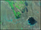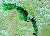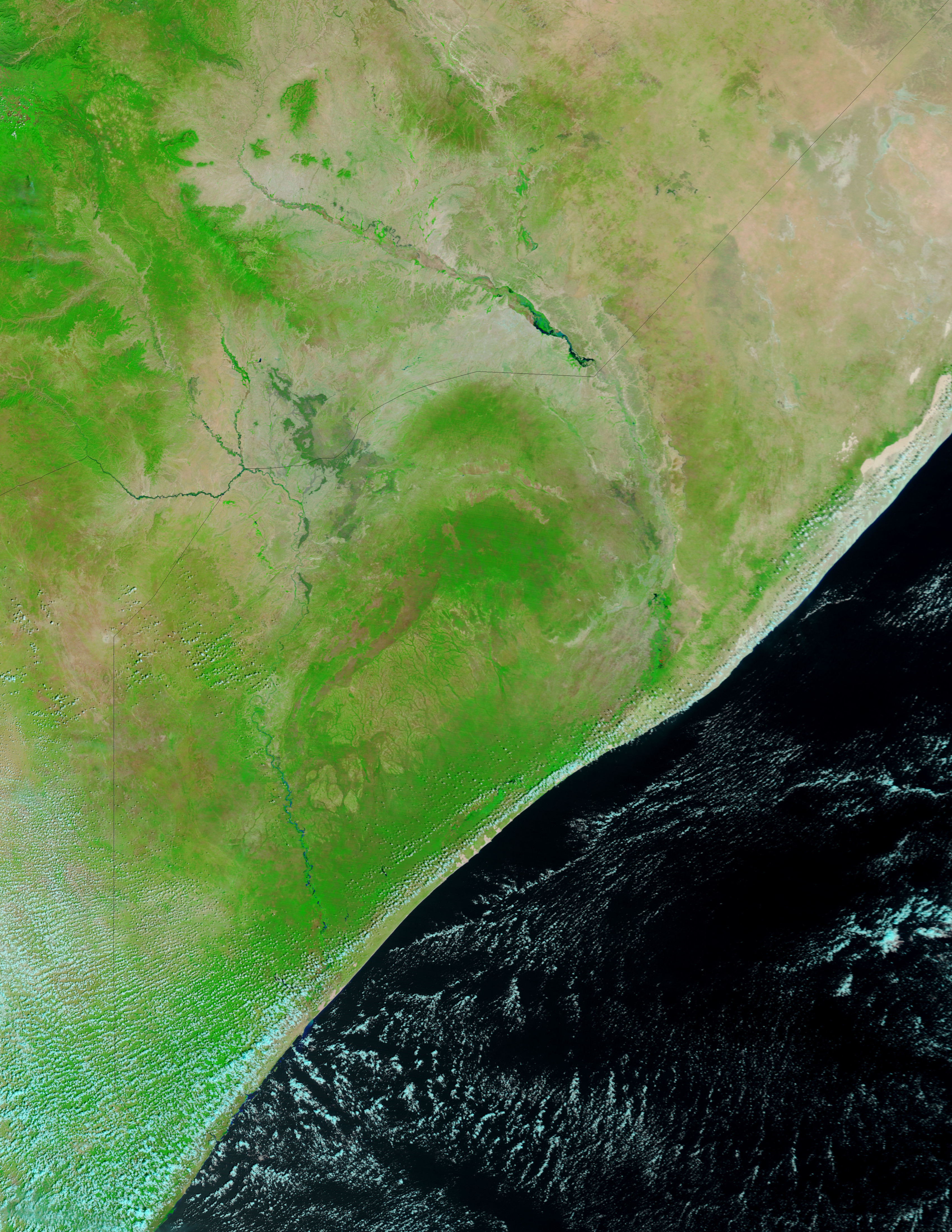
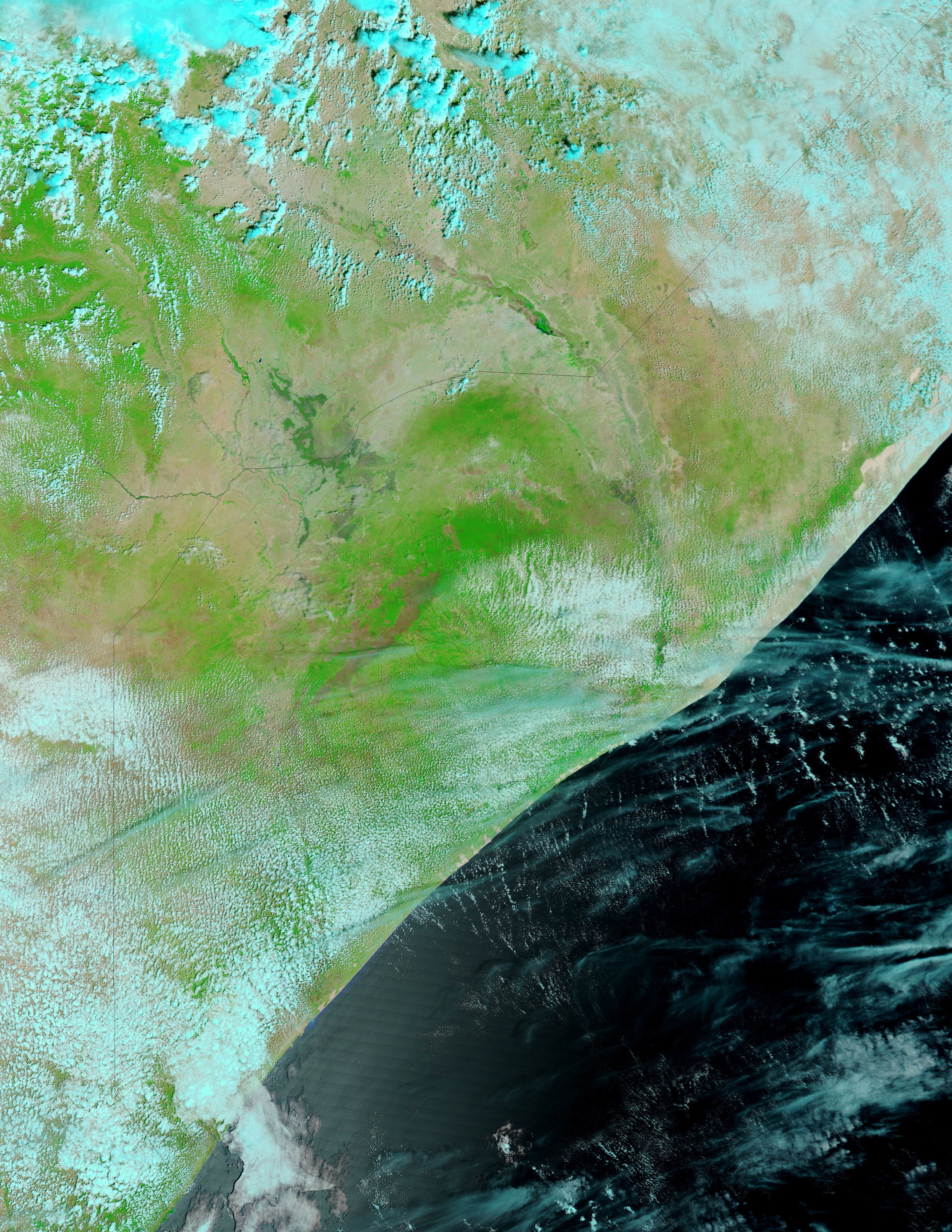
Heavy rains starting on November 2 pushed several rivers in southeastern Ethiopia over their banks. The top image, taken by the Moderate Resolution Imaging Spectroradiometer (MODIS) on NASA’s Terra satellite on November 18, 2008, shows floods along the Wabe Shabele, where the impact was most severe. Compared to October 26 (lower image), the river has widened.
The images are enhanced with infrared light to make water stand out from the surrounding landscape. Water is dark blue. Pale blue pools along the river are shallow, silt-laden water or muddy ground. Bright green vegetation lines the river, while brushes of green accent the arid landscape elsewhere in the scene. Bare or sparsely vegetated ground is tan. Clouds are light blue.
The floods forced more than 52,000 people to leave their homes along the Wabe Shabele and other rivers in the region, said the United Nations Office for the Coordination of Humanitarian Affairs. The floods also destroyed crops, cut off transport, and killed three people, said the United Nations.
The short rainy season in southeastern Ethiopia typically runs from October to January. The region is prone to cycles of flood and drought. While the rains caused destructive flooding, they may also have been beneficial. At the end of October, the Famine Early Warning System Network had forecast a weak rainy season (averaged over the entire three to four month period) for the region, which would lead to food shortages. (See Drought in Eastern Ethiopia on the Earth Observatory.
NASA images courtesy the MODIS Rapid Response Team at NASA GSFC. Caption by Holli Riebeek.