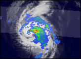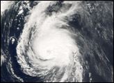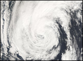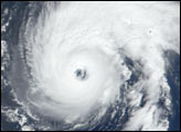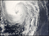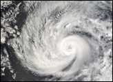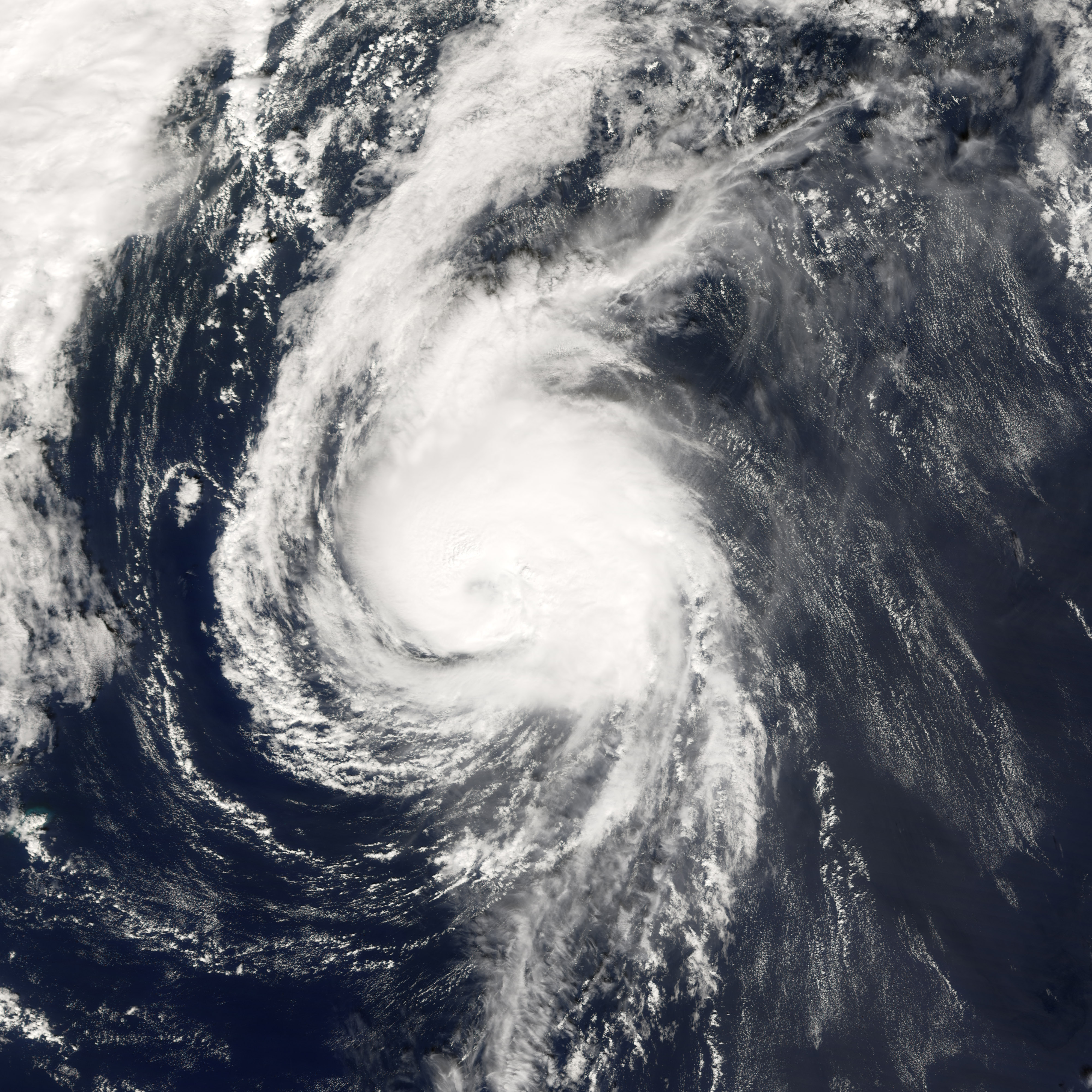
On September 30, Hurricane Isaac became the fifth hurricane of the 2006 Atlantic hurricane season. Beginning as a tropical depression (area of low air pressure) three days earlier, Isaac formed in the central Atlantic Ocean far from any land. Isaac initially headed northeast on a track towards Bermuda, picking up power to become a hurricane. But Hurricane Isaac never posed a threat to the island, as it veered onto a more northerly track as the storm became more organized and powerful. As of October 2, 2006, Isaac was headed north and slightly east in the general direction of the Canadian Maritime Provinces. However, it was expected to curve off farther east and to avoid coming ashore in Canada. The hurricane was losing power as it traveled north and was downgraded to a tropical storm by midday on October 2.
This photo-like image was acquired by the Moderate Resolution Imaging Spectroradiometer (MODIS) on NASA’s Terra satellite on October 1 2006, at 12:35 p.m. local time (14:35 UTC). Isaac is a small and well-formed—a tight ball of spiraling clouds around a well-defined eye filled with clouds (a “closed” eye). According to the University of Hawaii’s Tropical Storm Information Center, Isaac had sustained winds reaching as high as 120 kilometers per hour (75 miles per hour).
NASA image created by Jesse Allen, Earth Observatory, using data provided courtesy of the MODIS Rapid Response team.