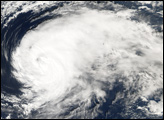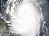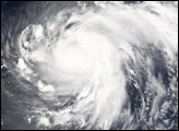
Shanshan (known as Luis in the Philippines) began as a tropical depression (area of low air pressure) on September 10, 2006, in the central Philippine Sea. Within 36 hours, the depression organized into a Category 1 typhoon and was given the name “Shanshan.” According to the Joint Typhoon Warning Center, Shanshan then tracked to the north, running roughly parallel to the China coast. By September 15, the storm had built to Category 4 strength, with winds of 220 kilometers per hour (138 miles per hour). Shanshan then moved off to the northeast towards southern Japan, weakening as it did so. Typhoon Shanshan made landfall on western Kyushu as a Category 1 storm. Heavy rains from the typhoon triggered mudslides, and the severe weather was responsible for 9 deaths and hundreds of injuries, said news reports.
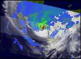
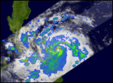
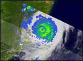
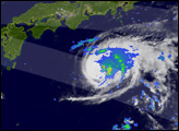
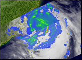
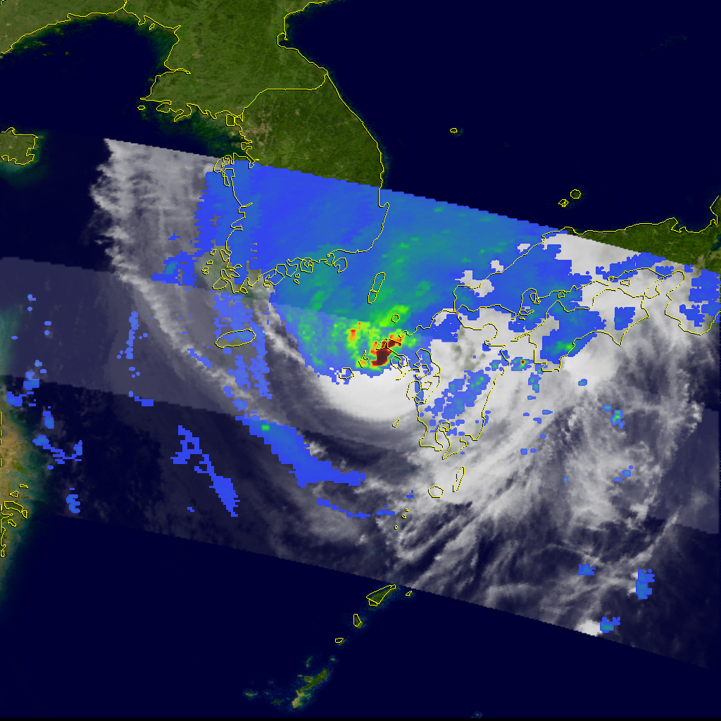
This image, taken by the Tropical Rainfall Measuring Mission (TRMM) satellite, shows Typhoon Shanshan at 5:31 p.m. (08:31 UTC) on September 17, 2006, just as the storm was making landfall on Kyushu. Specifically, the image shows how much rain the storm was producing (measured in millimeters per hour) as it made landfall. An area of intense rain (darker red) is located near the center, over the western tip of Kyushu. A broad area of light (blue) to moderate (green) rain extends out ahead of the storm.
The TRMM satellite was placed into service in November 1997. From its low-earth orbit, TRMM provides valuable images and information on storm systems around the tropics using a combination of passive microwave and active radar sensors, including the first precipitation radar in space. TRMM is a joint mission between NASA and the Japanese space agency, JAXA.
Images produced by Hal Pierce (SSAI/NASA GSFC) and caption by Steve Lang (SSAI/NASA GSFC).