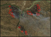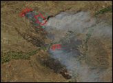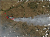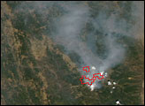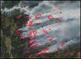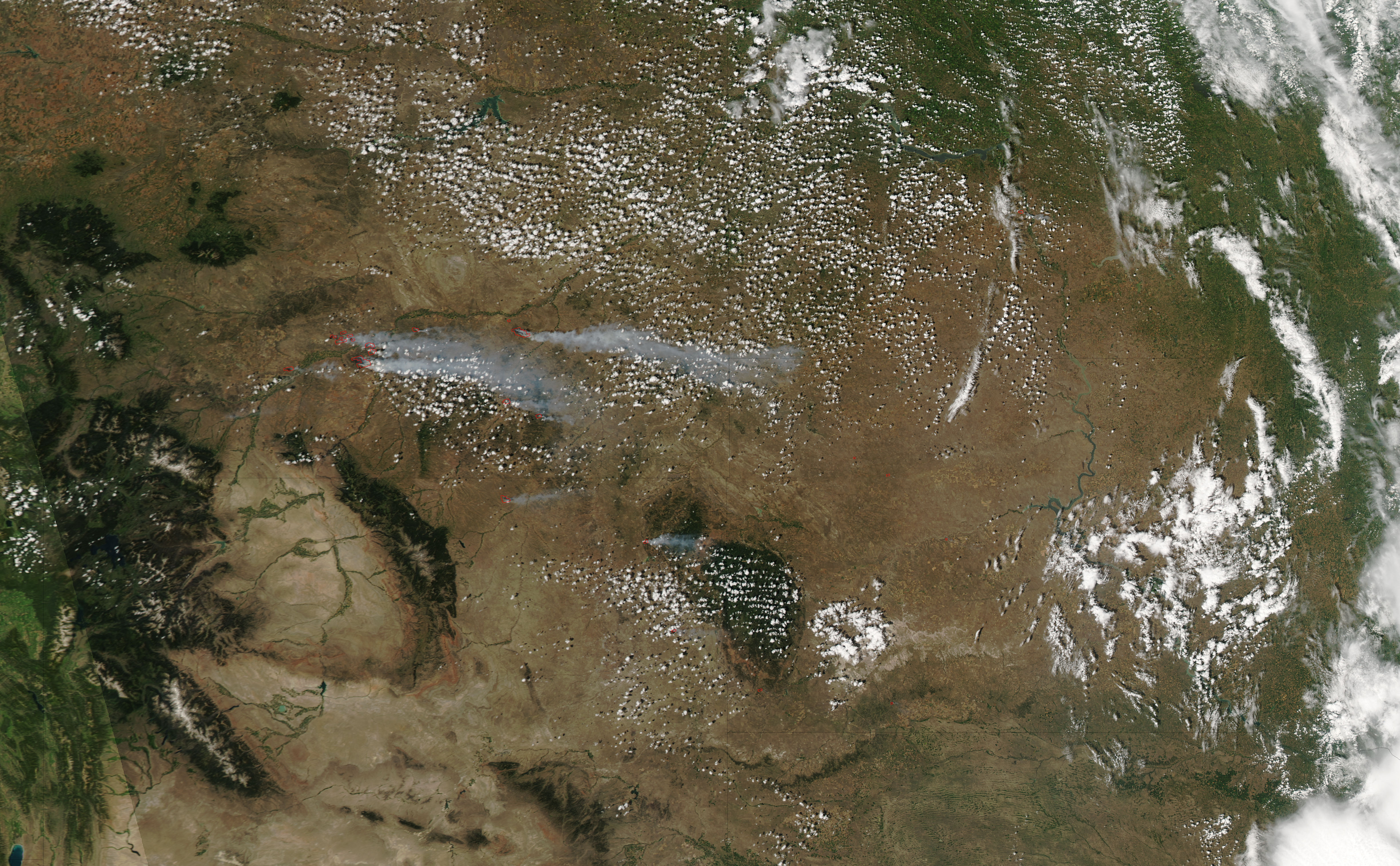
In southeastern Montana and northern Wyoming, the winds were whipping eastward and spreading several large wildfires on July 13, 2006. This image of the area around the Yellowstone, Bighorn, and Powder Rivers was captured by the Moderate Resolution Imaging Spectroradiometer (MODIS) on NASA’s Aqua satellite at 1:35 p.m. U.S. Mountain Time. Places where MODIS detected actively burning fire are outlined in red. Long ribbons of gray smoke stream toward the east. These fires are burning in a mixture of sagebrush, grass, and timber. Many ranches and small communities in the area have been evacuated.
The two largest fires in the scene are about 50 kilometers northeast of Billings, Montana. The Bundy Railroad Complex Fire is north of the Yellowstone River, and the Pine Ridge Complex is to the south. Together these fires totaled about 45,000 acres as of July 14. The Bundy Railroad Fire was 0 percent contained, while the Pine Ridge Complex was about 10 percent contained. For more information about the fires in this scene, visit the Website of the National Interagency Fire Center.
The high-resolution image provided above has a spatial resolution (level of detail) of 250 meters per pixel. The MODIS Rapid Response System provides twice-daily images of this area in a variety of resolutions and formats, including an infrared-enhanced view that emphasizes burn scars.
NASA image courtesy the MODIS Rapid Response Team, Goddard Space Flight Center