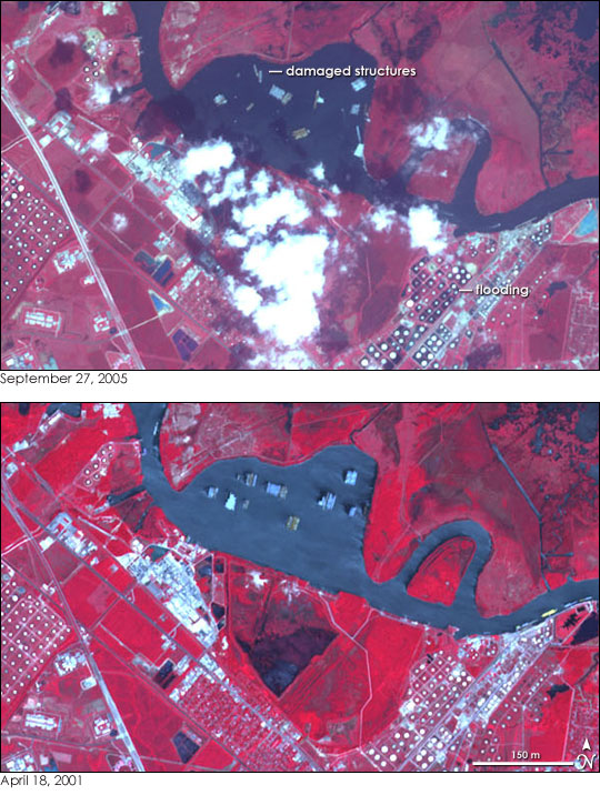
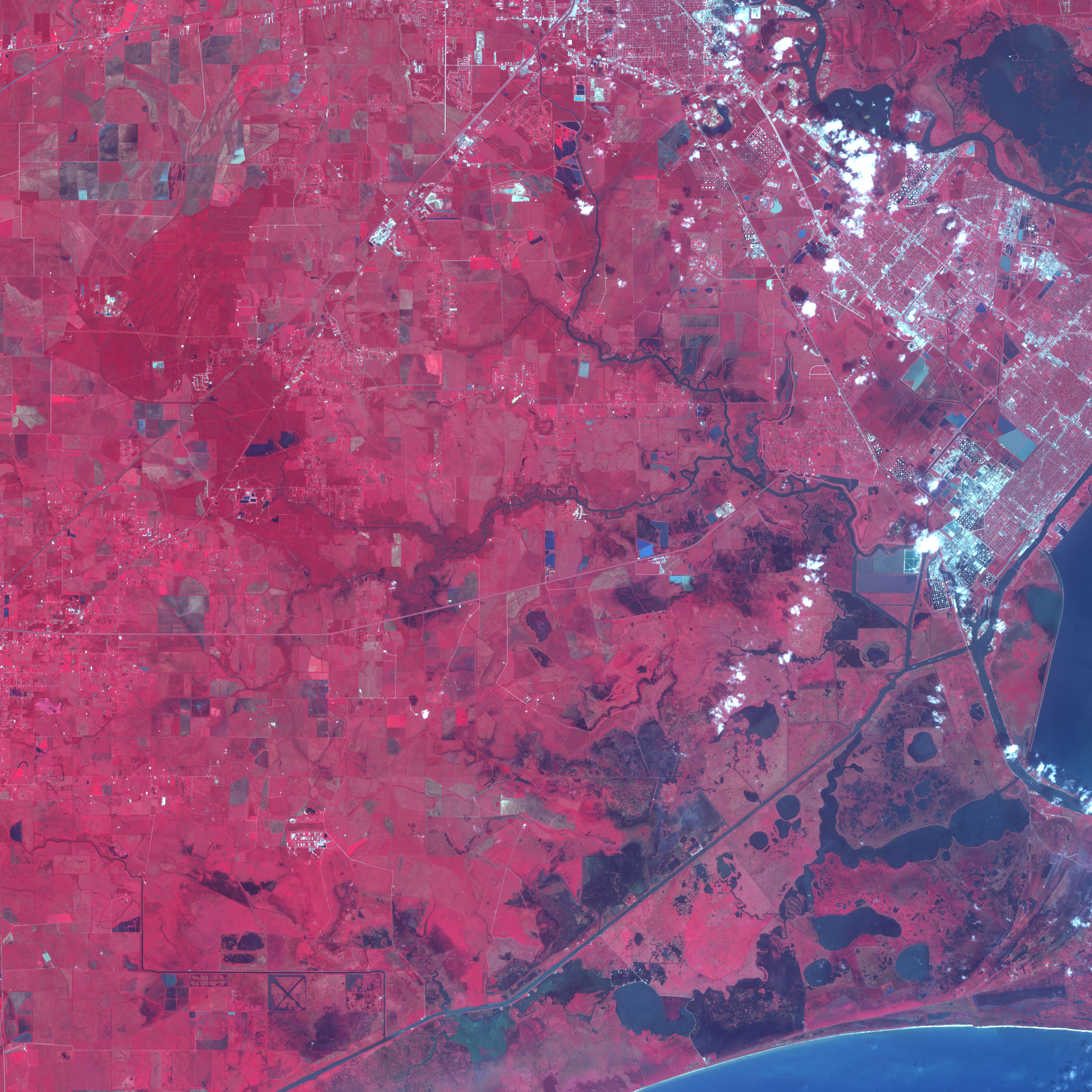
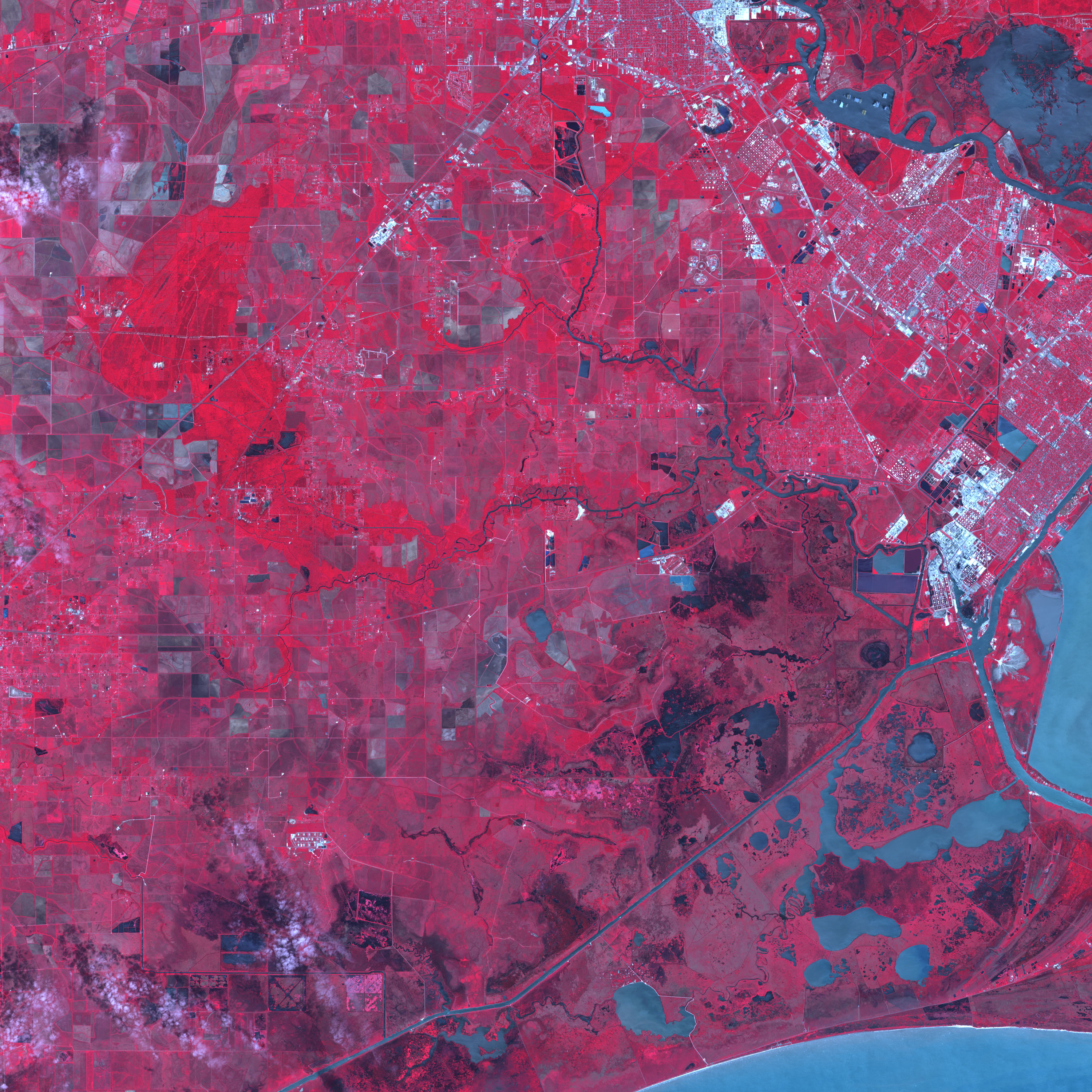
The Neches River flows 670 kilometers (416 miles) through Texas before pouring into Sabine Lake and then the Gulf of Mexico. In its final few kilometers, the river passes through Beaumont, Texas, one of the largest oil refining regions in East Texas. The river is an important conduit from the oil refineries to the Gulf of Mexico and the world. Beaumont and the Neches River were also almost directly in Hurricane Rita’s path when it came ashore on September 24, 2005.
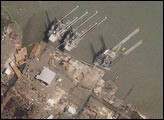
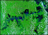
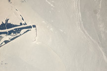
There are some obvious signs of damage in the top image, collected by the Advanced Spaceborne Thermal Emission and Reflection Radiometer (ASTER) on NASA’s Terra satellite on September 27, 2005. Several permanent structures had been built in the bulge in the river shown here. The structures, probably related to the region’s oil industry, were tossed in Rita’s strong winds, heavy rains, and battering waves. Their positions have shifted compared to their locations on April 18, 2001, lower image. Some of the structures are clearly broken, with sections missing. Along the shore, dark flood water surrounds a series of circular buildings.
These ASTER images are shown in false color. Vegetation is red, and water is dark blue. The large images extend from Beaumont in the north to the Gulf of Mexico. Additional flooding is evident near the Gulf in the large images.
NASA images courtesy Jesse Allen, Earth Observatory, using data obtained courtesy of the NASA/GSFC/METI/ERSDAC/JAROS, and U.S./Japan ASTER Science Team


