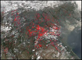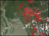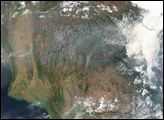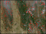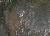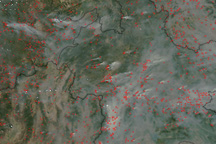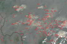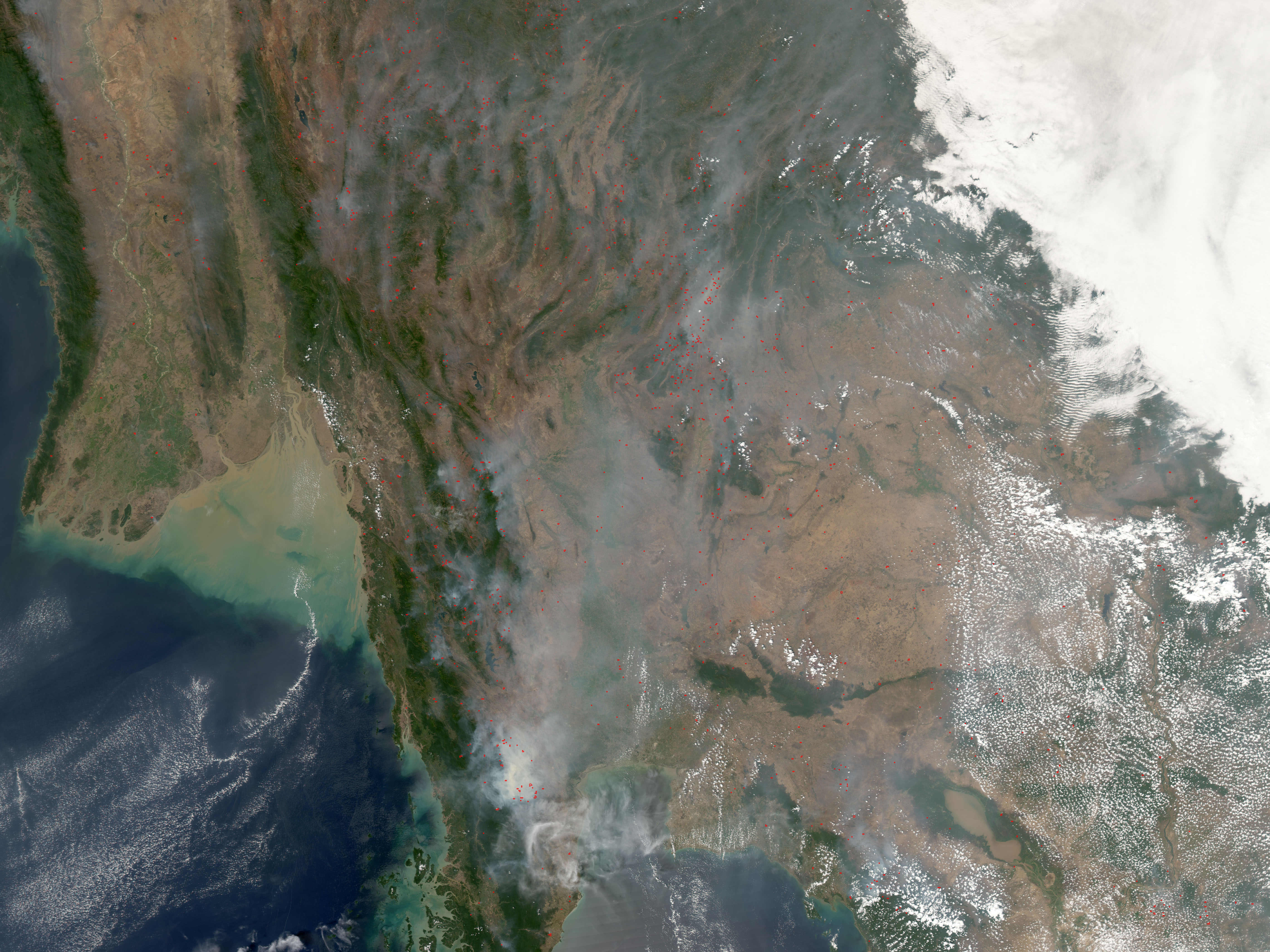
Forest fires have broken out across many countries in Southeast Asia in late February 2005. Although seasonal agricultural burning also takes place this time of year, news reports indicates that many countries are battling forest fires as well. This image from the Moderate Resolution Imaging Spectroradiometer (MODIS) on NASA’s Aqua satellite shows parts of four Southeast Asian countries: southeast Myanmar, at upper left; northern Laos, at upper right; Thailand, in the center; and northern Cambodia, at lower right. Active fire locations detected by MODIS have been marked in red, and thick smoke hangs over much of the scene. In northern Thailand (near image center), smoke was so thick that all air travel into the region's hub city of Chiang Mai was cancelled on February 28.
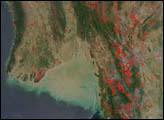
Although it is not possible to be certain from this satellite image which of these fires are agricultural in purpose and which are forest fires, it's likely that fires burning in places where the landscape appears tan or light green, such as in the large plain to the right of image center or in the broad river valley at upper left, are related to crop stubble clearing or other agricultural activities. The intensely smoky fires located in places covered with deep green vegetation, such as along the peninsula running southward from image center, are more likely candidates for forest fires.NASA image created by Jesse Allen, Earth Observatory, using data obtained from the MODIS Rapid Response team.