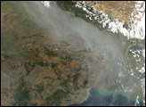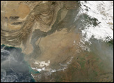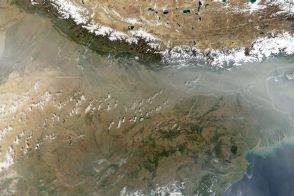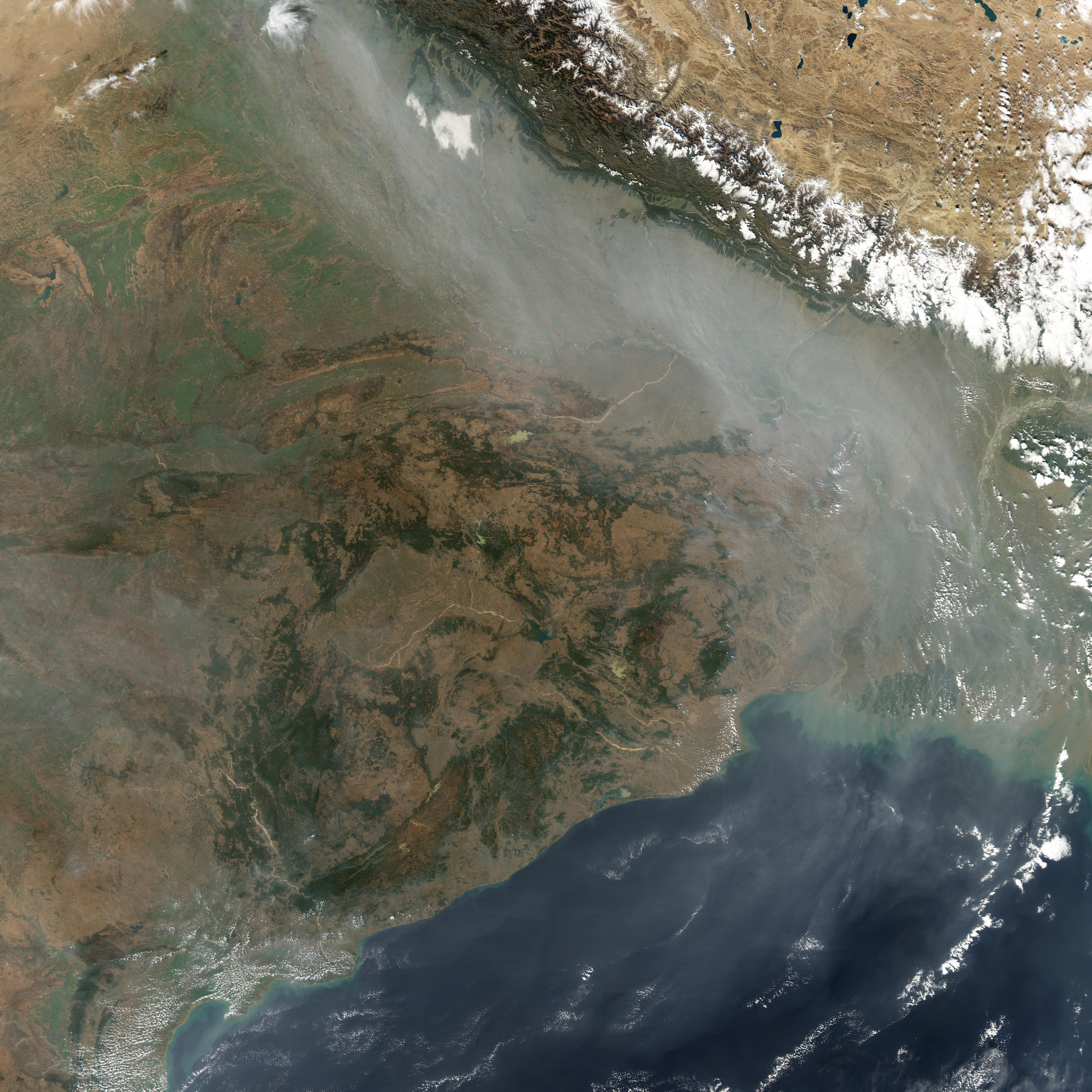
A river of haze follows the course of the Ganges River in northern India, flowing eastward along the base of the towering, snow-capped Himalaya Mountains (upper right) before turning south over Bangladesh and then spreading out in gray streamers over the Bay of Bengal in the Indian Ocean (lower right).
Although the pollution comes from human activities,—agricultural fires; home heating sources that rely on wood, kerosene, or dung; and industrial and vehicle emissions—it lingers because of topography and atmospheric circulation patterns. In the winter phase of the Indian Ocean Monsoon, winds typically blow seaward, which carries the large, thick “brown cloud” of pollution far out over the ocean.
Recently, NASA scientists announced that the visible particles of soot that give the polluted air its name aren't the only component of the brown cloud that the atmosphere transports over long distances. The plume also contains ozone, which is beneficial to humans when it is located way above the Earth in the stratosphere, but harmful when it is located closer to the Earth in the troposphere.
Ozone spreads even farther away from the original source than the soot particles. Convection over the ocean sucks the ozone high into the air where it enters wider-scale atmospheric circulation patterns. These patterns spread the ozone westward across the Indian Ocean, Africa, and onward to the Atlantic Ocean.
Along the way, the ozone from the Asian brown cloud gets mixed together with ozone from agricultural fires in Africa, as well as with ozone from the stratosphere which occasionally gets mixed down to lower altitudes. The long-range transport of ozone from these sources explains why such high levels of tropospheric ozone are observed in the air over the South Atlantic Ocean, far from the source of the emissions.
NASA image created by Jesse Allen, Earth Observatory, using data obtained from the MODIS Rapid Response team.