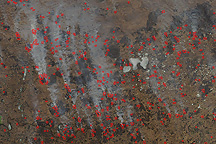
In Louisiana and other sugarcane-producing states in the Deep South, the burning of the sugarcane fields prior to autumn harvest is a long-standing agricultural practice. Burning eliminates the non-sugar-containing parts of the plants before they are harvested, reducing harvest time and processing costs. Like other open field burning, however, there is a downside to the practice: air pollution. Because of the potential negative health impacts of the particulates and carbon monoxide released during open agricultural burning, the Environmental Protection Agency is working with the agriculture industry to develop guidelines for agricultural burning that will reduce its contribution to poor air quality.
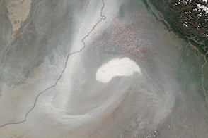
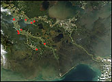
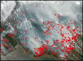
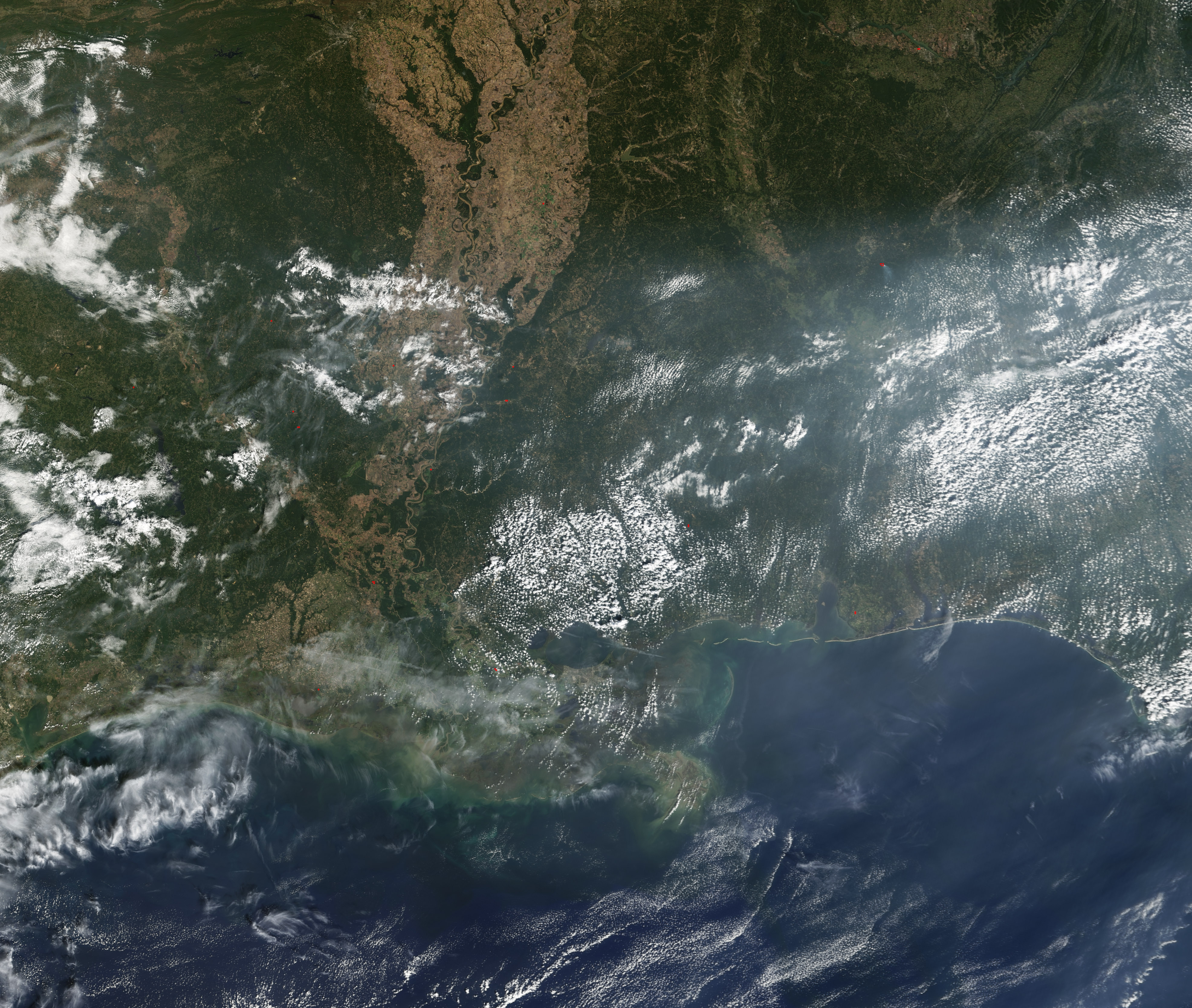
This Moderate Resolution Imaging Spectroradiometer (MODIS) image from the Terra satellite on October 3 shows a broad swath of haze across the Gulf Coast states in the southern United States. The Mississippi River Valley runs through the center of the scene in a broad tan-colored swath. Scattered fires are marked in red. Fires and resulting build-ups of haze have been occurring on and off since the remnants of Hurricane Ivan came ashore for the second time in late September.
NASA image created by Jesse Allen, Earth Observatory, based on data from the Goddard Earth Sciences DAAC.