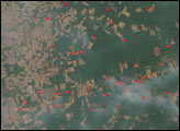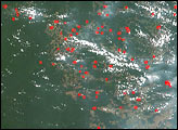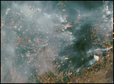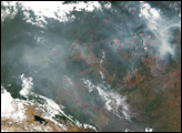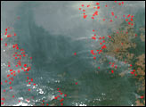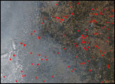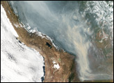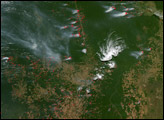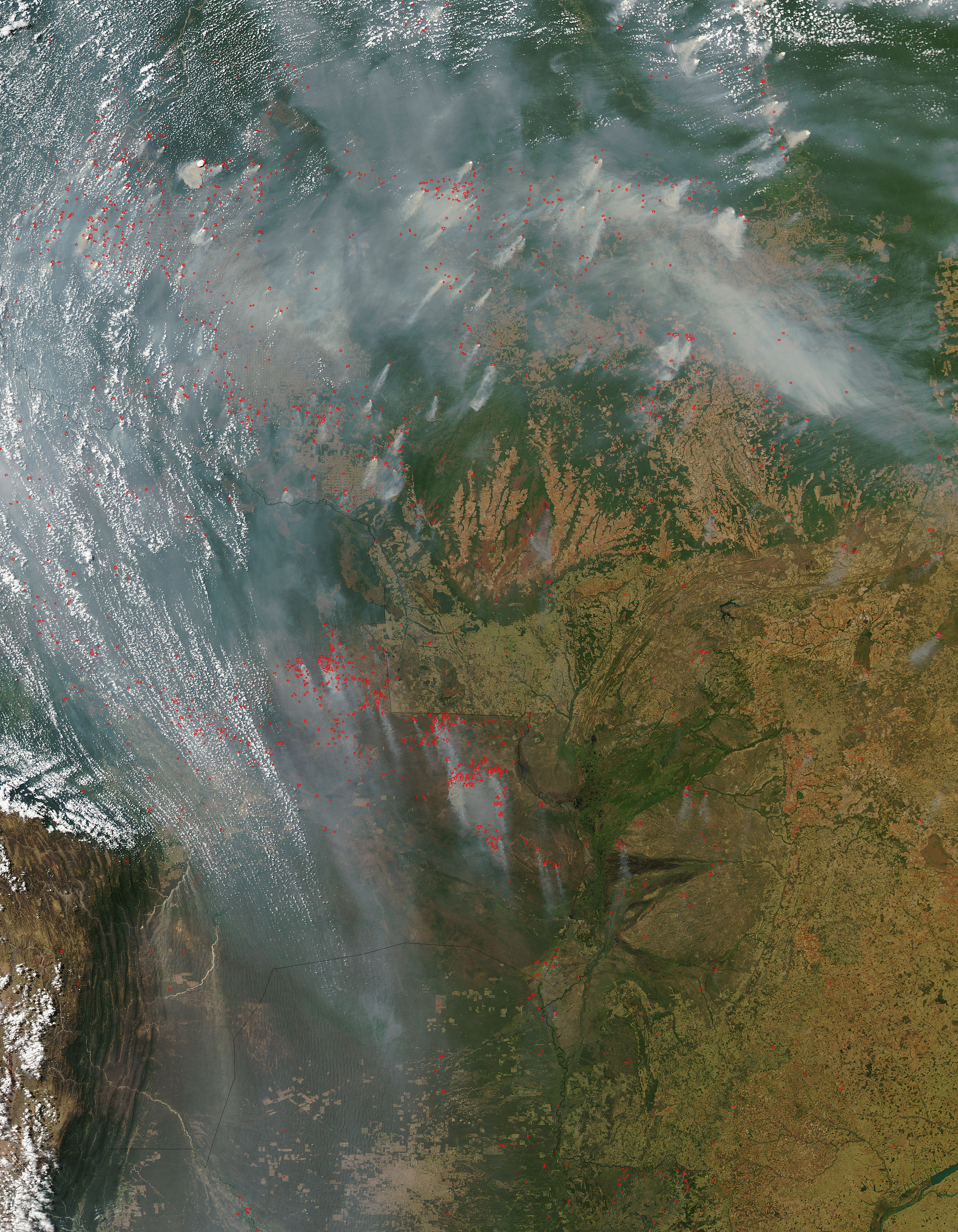
Across Brazil (right), Bolivia (left), and Paraguay (bottom center), the annual burning season is decidedly underway. This image of the region captured by the Moderate Resolution Imaging Spectroradiometer (MODIS) on NASA’s Aqua satellite on August 15, 2004, shows numerous active fires (marked in red) and thick smoke hanging over the top and left parts of the scene. The intensity of the smoke from many of the fires suggests that forests, and not just previously cleared agricultural land, are burning. This image shows a larger area of South America than previous images in this series; the Xingu River watershed is located in the fragment of forest hanging down from the intact portion of the rainforest at upper right. The spatial resolution of the large image provided above is 500 meters per pixel. The MODIS Rapid Response System provides this image at additional resolutions.
Image courtesy Jacques Descloitres, MODIS Rapid Response Team, NASA-Goddard Space Flight Center