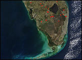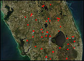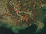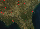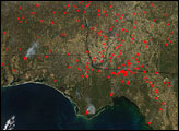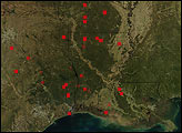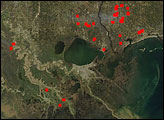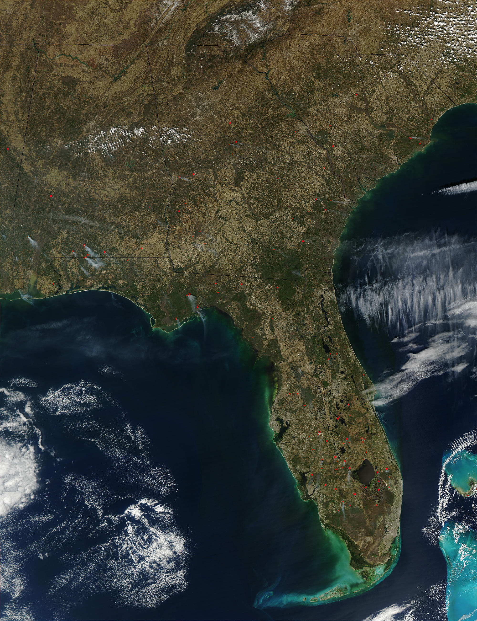
According to reports from the Southern Area Fire Coordination Center of the USDA Forest Service, a mixture of prescribed fires and wildfires was burning across the southern United States on February 12, 2003. This true-color Moderate Resolution Imaging Spectroradiometer (MODIS) image from the Aqua satellite on Feb. 12 shows the active fires marked with red dots.
The high-resolution image provided above is 500 meters per pixel. The MODIS Rapid Response System provides this image at MODIS’ maximum spatial resolution of 250 meters.
Image courtesy Jacques Descloitres, MODIS Rapid Response Team at NASA GSFC