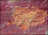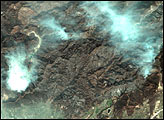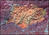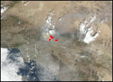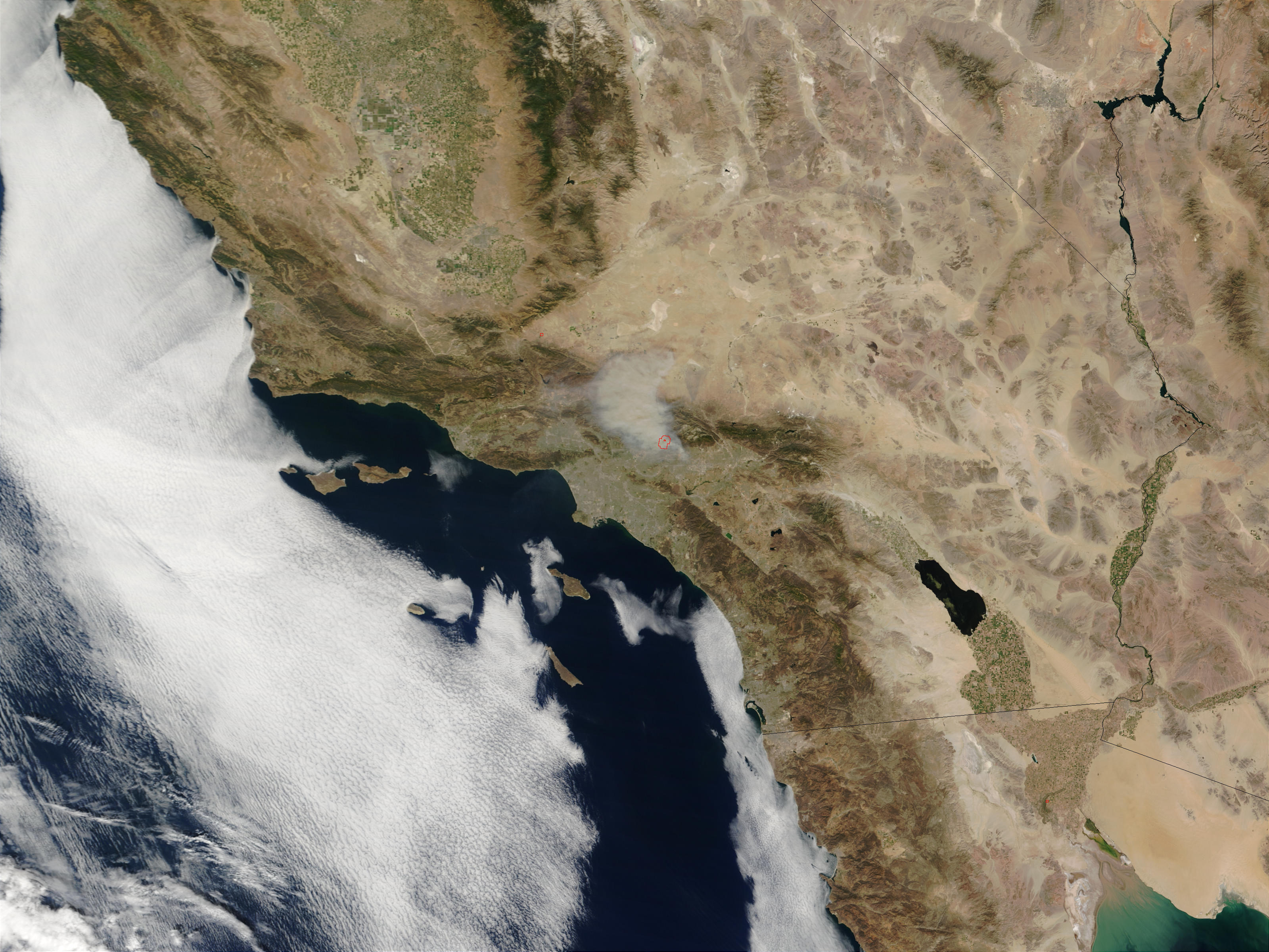
In the San Gabriel Mountains northeast of Los Angeles, a fast-moving fire is burning in the Angeles National Forest. The Williams Fire began on Sunday evening, September 22, 2002, and has already affected at least 2,500 acres. Roads into the area are closed to non-residents as firefighters tackle the blaze. Humidity is low, temperatures are high, and fire activity has been labeled extreme, with the fire perimeter increasingly rapidly and flame lengths high.
This true-color image of the fire was captured by the Moderate Resolution Imaging Spectroradiometer (MODIS) on NASA’s Terra satellite on September 23, 2002. The fire perimeter detected by MODIS is marked with a red outline. The ability of MODIS to detect thermal signatures even through smoke is one of its important contributions to fire management strategies. Each day MODIS fire detections and true-color images are used by the National Interagency Fire Center to make decisions about where firefighting resources are most needed across the country.
Image courtesy Jacques Descloitres, MODIS Land Rapid Response Team at NASA GSFC