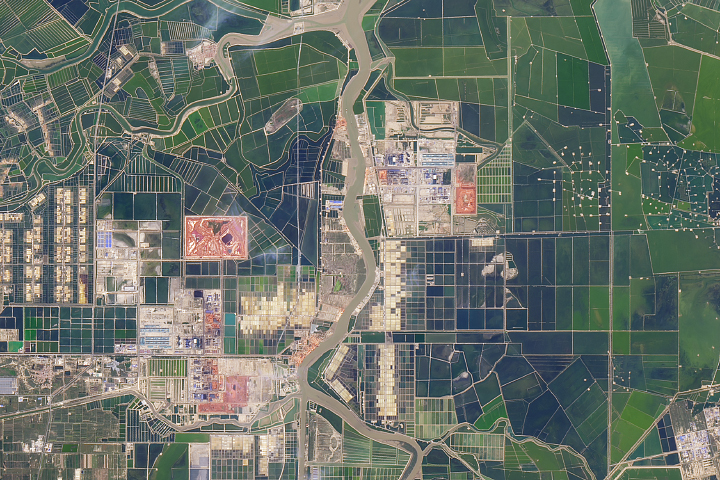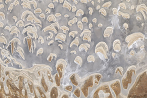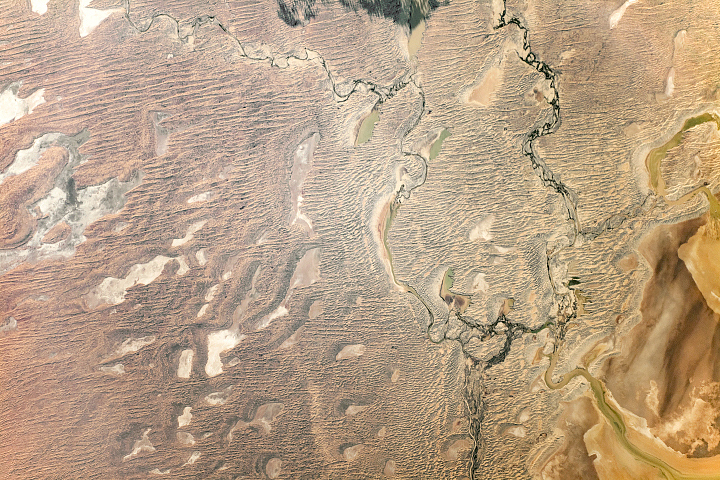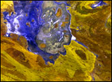
An astronaut aboard the International Space Station shot this photograph of Lake Willis and Lake Hazlett while flying over the Great Sandy Desert in Western Australia.
Hundreds of ephemeral salt lakes are peppered throughout the arid Australian Outback. When occasional flood waters pour into the lakebeds and then evaporate, they leave salt mineral deposits and create bright, expansive layers (evaporite deposits) that are readily visible from space. The reddish-brown linear sand dunes are slightly higher in elevation (1.5 to 3 meters, 5 to 10 feet) and align with the general east to west wind flow in the region.
Approximately 32 kilometers (20 miles) south of the lakes lies the fourth largest salt lake in Australia: Lake Mackay. The Pintubi tribe and other Australian Aborigine survived around these lakes for thousands of years in what is now called the Kiwirrkurra Community.
Astronaut photograph ISS052-E-20826 was acquired on July 26, 2017, with a Nikon D4 digital camera using an 1150 millimeter lens, and is provided by the ISS Crew Earth Observations Facility and the Earth Science and Remote Sensing Unit, Johnson Space Center. The image was taken by a member of the Expedition 52 crew. The image has been cropped and enhanced to improve contrast, and lens artifacts have been removed. The International Space Station Program supports the laboratory as part of the ISS National Lab to help astronauts take pictures of Earth that will be of the greatest value to scientists and the public, and to make those images freely available on the Internet. Additional images taken by astronauts and cosmonauts can be viewed at the NASA/JSC Gateway to Astronaut Photography of Earth. Caption by Andi Hollier, Hx5, JETS Contract at NASA-JSC.