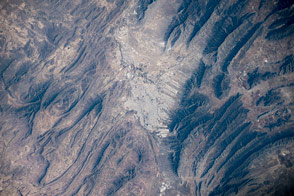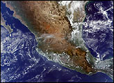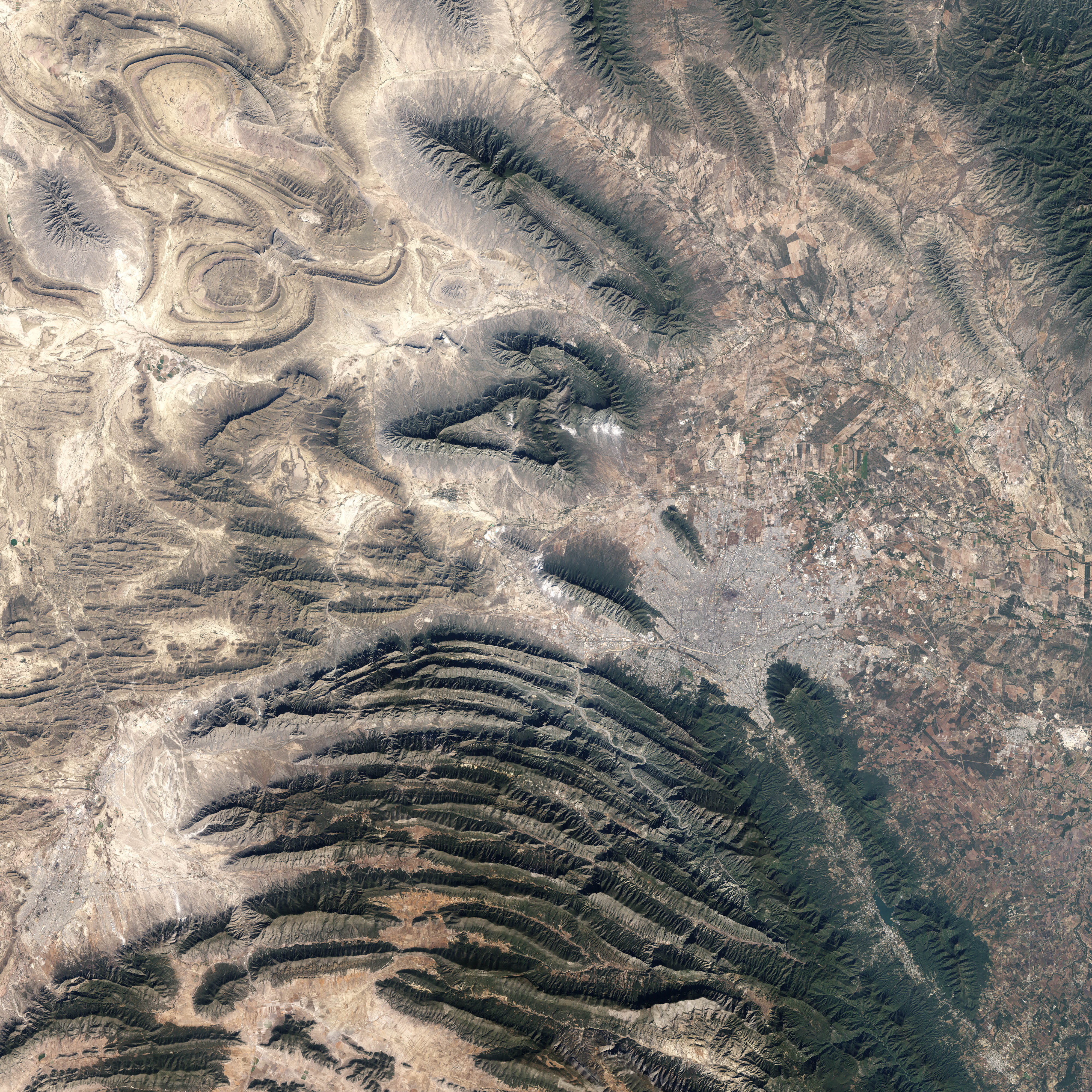
In northeastern Mexico’s Nuevo Leon state, the Sierra Madre Oriental (Eastern Sierra Madres) cluster in densely packed rows of arcing ridgelines. Just to the southwest of the city of Monterrey, these west-to-east running ridges make a sharp bend toward the south. The mountains then continue southward roughly parallel to the Gulf Coast for hundreds of miles.
This image of the region around Monterrey was captured by the Enhanced Thematic Mapper Plus sensor on NASA’s Landsat satellite on November 28, 1999. The dry terrain at lower elevations in the image appear in shades of tan and brown, while on the sharp ridges, vegetation appears dull to deep green. The urban development of Monterrey makes a gray patch at the foothills of the mountains. A river winds its way through the ridges as a tan ribbon.
This location is a key turning point in the migration route of the monarch butterfly, which returns from latitudes as far north as Canada to overwinter on mountain peaks several hundred miles southwest of Monterrey. The flight path of butterflies follows the ridgelines. The butterflies fly due east for a time, but when the ridges curve south-southeast, so do the insects. Scientists are still trying to understand what role various cues such as the angle of the Sun in the sky, the Earth’s magnetic field, and physical or meteorological landmarks (such as dominant wind patterns) play in guiding the monarchs on their migrations.
To read more about monarch butterfly migration, please visit the Journey North Website.
NASA image created by Jesse Allen, Earth Observatory, using data obtained from the University of Maryland’s Global Land Cover Facility.