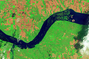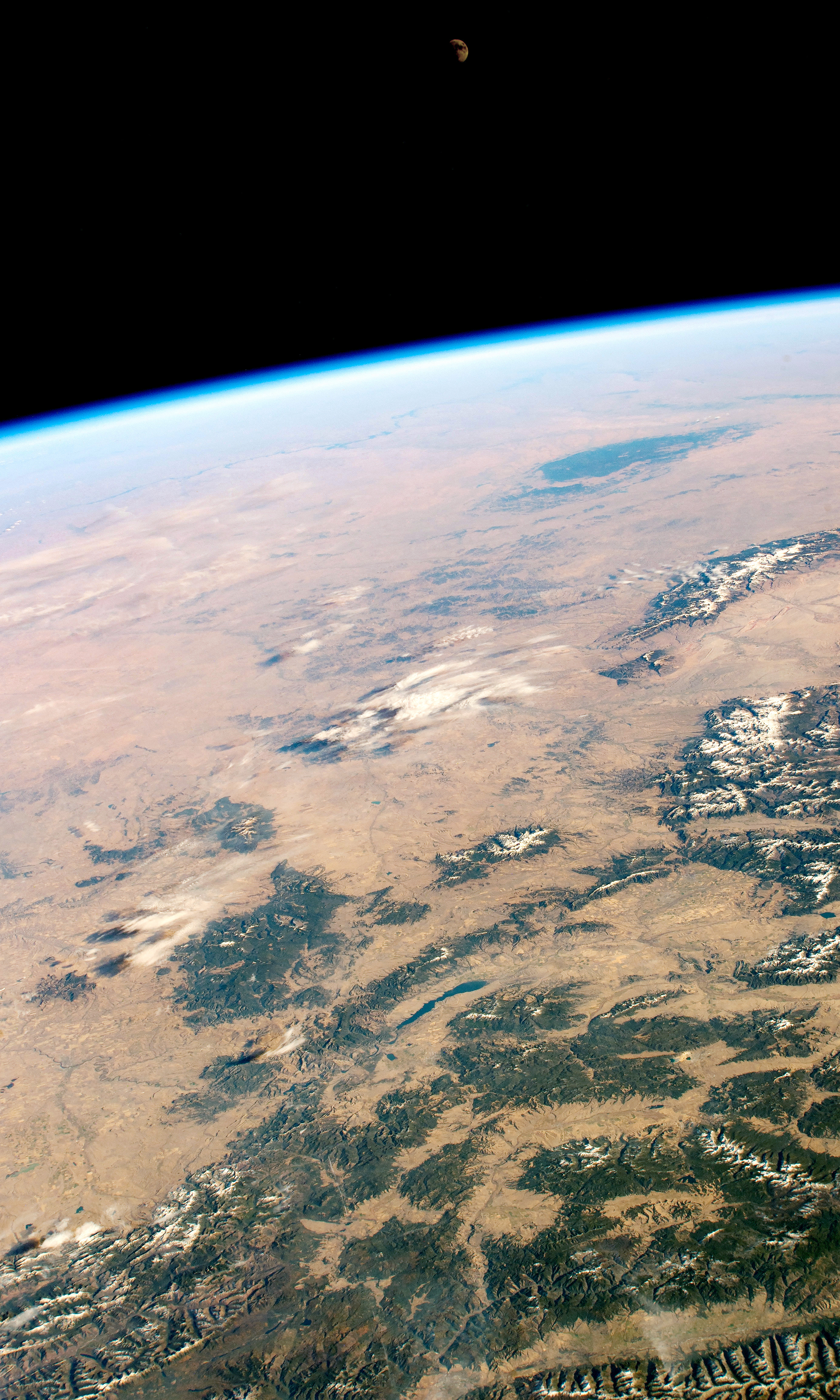
An astronaut shot this oblique photograph of the Missouri Plateau, where the Rocky Mountains meet the Great Plains of central-northwest United States. Across the scene, six national forests and grasslands stand at higher elevations in Montana, Wyoming, and South Dakota. Toward the horizon, the Missouri River is faintly visible snaking across North Dakota.
The Missouri Plateau is a gently sloping region that rises above the flatter plains. The lighter brown areas of land in the photo are deeply cut by braided rivers, and the land is often utilized for livestock pastures and farming.
The western part of the plateau avoided glacial erosion during the most recent ice age. This prevented the Missouri Plateau from being flattened like the North Dakota plains beyond the Missouri River.
The Black Hills of South Dakota stand out in stark contrast to the surrounding plains. Some of the rocks in those hills are 2.5 billion years old. A combination of Laramide tectonics (65 million years ago) and the erosion of younger sedimentary rock layers created and exposed the Black Hills.
Astronaut photograph ISS057-E-55414 was acquired on October 19, 2018, with a Nikon D5 digital camera using a 68 millimeter lens and is provided by the ISS Crew Earth Observations Facility and the Earth Science and Remote Sensing Unit, Johnson Space Center. The image was taken by a member of the Expedition 57 crew. The image has been cropped and enhanced to improve contrast, and lens artifacts have been removed. The International Space Station Program supports the laboratory as part of the ISS National Lab to help astronauts take pictures of Earth that will be of the greatest value to scientists and the public, and to make those images freely available on the Internet. Additional images taken by astronauts and cosmonauts can be viewed at the NASA/JSC Gateway to Astronaut Photography of Earth. Caption by Andrea Meado, Jacobs Technology, JETS Contract at NASA-JSC.