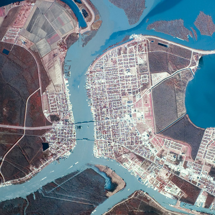
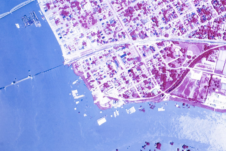
While poking around looking for imagery of the 1973 flooding on the Mississippi, I discovered some fascinating, very high resolution aerial photography. Images of Morgan City—a community near the mouth of the Atchafalaya River that was damaged by flooding in 1973, and will likely be hit by rising water in the next few weeks. Both are false color, but the May image is either a poor scan or the originals have degraded. These photographs, and thousands like them, are available from Earth Explorer, the online USGS archive of satellite data and aerial photography. John Mcphee’s essay “Atchafalaya” from his book The Control of Nature beautifully describes Morgan City and the 1973 flood.


