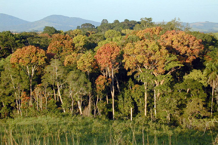
Tropical forests, such as those in Gabon, Africa, are an important reservoir of carbon. (Photography courtesy of Sassan Saatchi, NASA/JPL-Caltech.)
Old-growth forests are vital because they capture large amounts of carbon and provide homes to hundreds of species. In the Eastern United States, trees in these minimally disturbed ecosystems tend to be more than 120 years old.
Can satellites help pinpoint this “old-growth” and quantify its value? That was the question Joan Maloof posed to a group of researchers during a talk at NASA Goddard Space Flight Center in May 2017. As head of the Old-Growth Forest Network and a professor at Salisbury University, Maloof aims to identify stands of old-growth forests for conservation. A large part of her job involves explaining why these areas are important—something satellite data can help show.
As it turns out, satellites have already told us much about trees. A 2012 story from NASA Earth Observatory described some of the remote sensing methods researchers use:
Scientists have used a variety of methods to survey the world’s forests and their biomass. […] With satellites, they have collected regional and global measurements of the “greenness” of the land surface and assessed the presence or absence of vegetation, while looking for signals to distinguish trees from shrubs from ground cover.
In January 2017, a paper in Science Advances tracked intact forest landscapes between 2000 and 2013. (Intact forest landscapes were defined as areas larger than 500 square kilometers with no signs of human activity in Landsat imagery). This new research underscores the importance of such landscapes. The study’s authors identified several key findings:
- Dividing up forest landscapes with roads and development can hinder their ability to store carbon
- Forest wildlands (forests least affected by human activity) have the highest conservation value
- Large forest wildlands store more carbon than small forest wildlands; they are at risk of deforestation
- The global extent of intact forests declined by 7 percent 2000 and 2013.
For more information on trees and satellites, check out the NASA Earth Observatory feature, “Seeing Forests for the Trees and the Carbon: Mapping the World’s Forests in Three Dimensions.”
Tags: forest, old-growth, satellite


