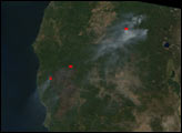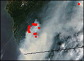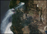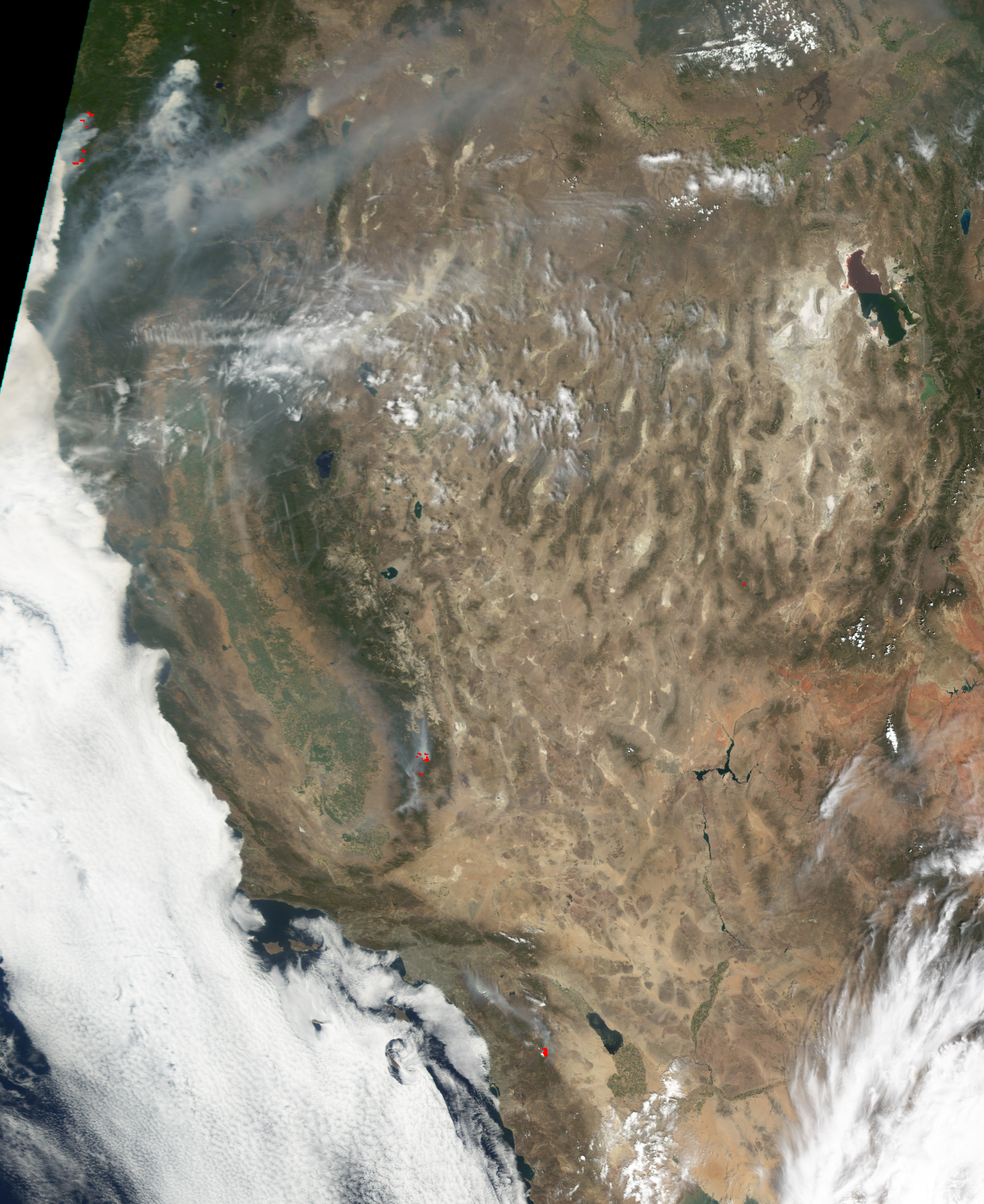
Continuing hot, dry weather is challenging firefighters in the West. This Moderate Resolution Imaging Spectroradiometer (MODIS) image from July 30, 2002, shows heavy smoke billowing from multiple large wildfires in central and southwestern Oregon (upper left). Burning in a roughly north to south line, the Florence and Sour Biscuit Fire in the Illinois River Valley region of southwestern Oregon are among the largest, and the latter has crept over the California state line and continues to burn southward. These two fires alone have burned over 96,000 acres. Eleven additional large fires are burning elsewhere in the state.
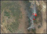
In southern California, east of the fertile San Joaquin Valley, the McNalley Fire (southwest of image center) continues to grow and threaten hundreds of residences as well as 11 of the ancient Giant Sequoia Groves in the southern Sierra Nevada Mountains. Between Monday morning (July 29) and Tuesday evening (July 30), the fire grew from 73,000 to 83,000 acres and came within 2 miles of one of the Sequoia Groves. According to reports from the USDA Forest Service, the fire is expected to spread significantly to the east and north over the coming days.
Image by Jesse Allen, based on data from the MODIS Rapid Response Team at NASA-GSFC