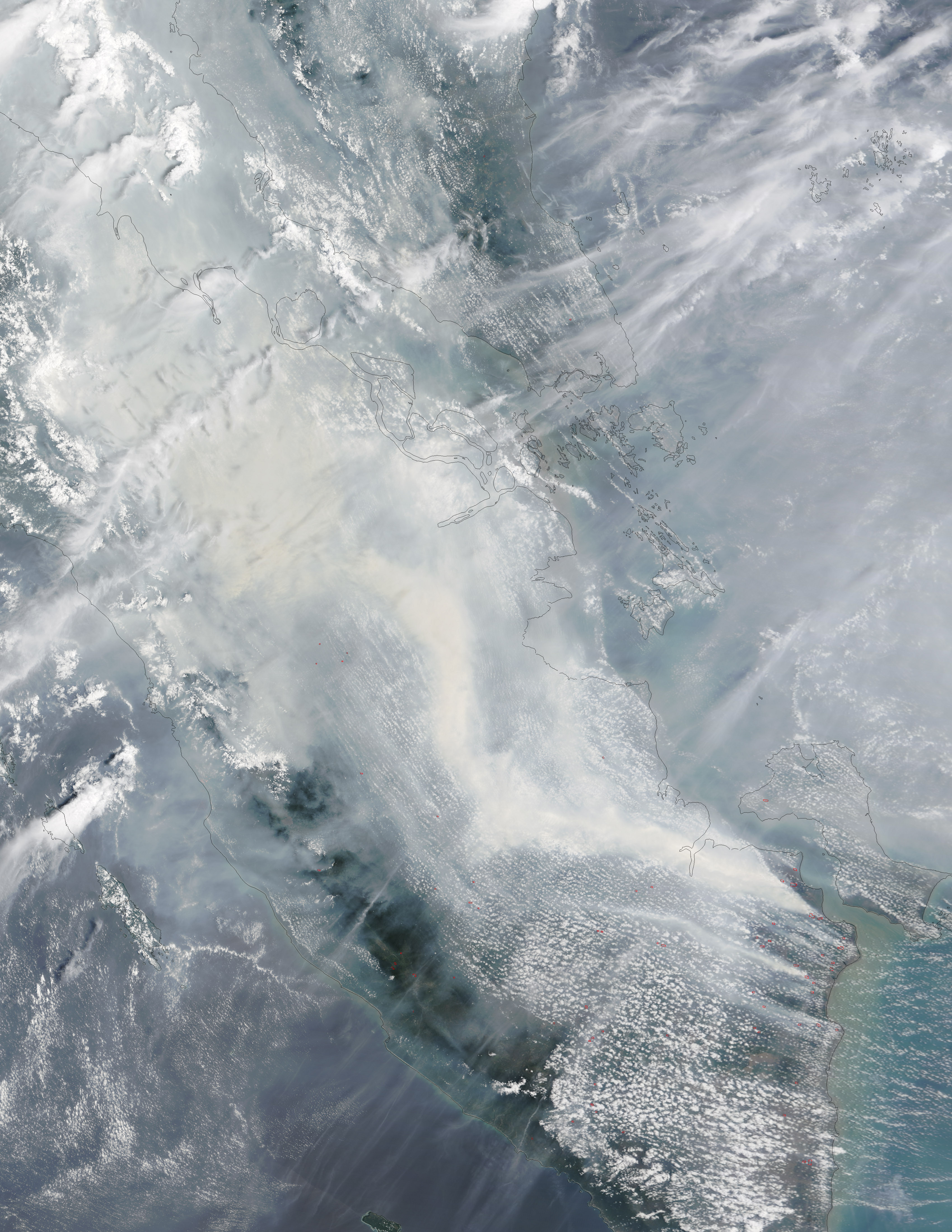
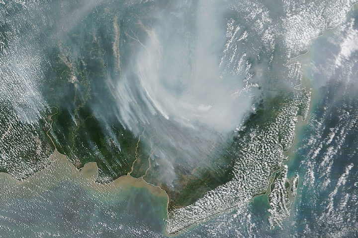
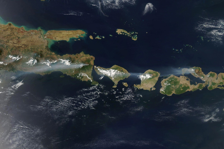
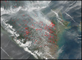
Heavy smoke continues to pour from peat fires in Sumatra, Indonesia.
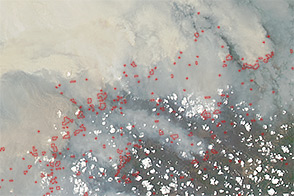
On October 4, 2015, the Moderate Resolution Imaging Spectroradiometer (MODIS) on NASA’s Terra satellite captured this image of smoke streaming over southern Sumatra. Red outlines indicate hot spots where the sensor detected unusually warm surface temperatures associated with fires. Gray smoke hovers over the island and has triggered air quality alerts and health warnings in Indonesia and neighboring countries.
Fires are a common occurrence in Sumatra in September and October because farmers engage in “slash and burn agriculture,” a technique that involves frequent burning of rainforest to clear the way for crops or grazing animals. In southern Sumatra, the intent is often to make room for new plantings of oil palm and acacia pulp.
Many of the fires are burning in areas with soils underlain with peat—a soil-like mixture of partly decayed plant material formed in wetlands. Peat fires tend to be difficult to extinguish, often smoldering under the surface for months. In comparison to other types of fires, peat fires release large amounts of greenhouse gases.
MODIS sensors on the Terra and Aqua satellites have detected fires burning in southern Sumatra since early September. Scientists monitoring the fires expect the fires to continue burning until the monsoon rains arrive at the end of October. However, they caution that the dry season could be unusually long in Indonesia this year because of the strong El Niño present in the Pacific Ocean.
NASA image Jeff Schmaltz (LANCE MODIS Rapid Response) and Adam Voiland (NASA Earth Observatory). Caption by Adam Voiland.


