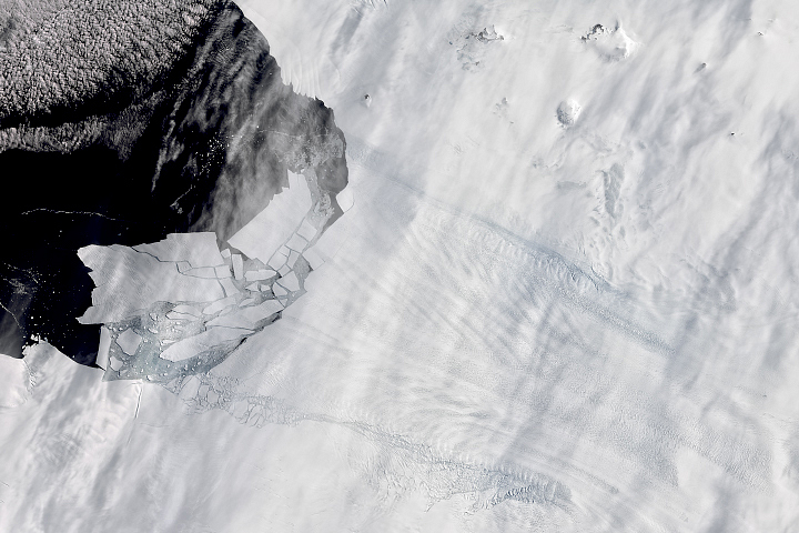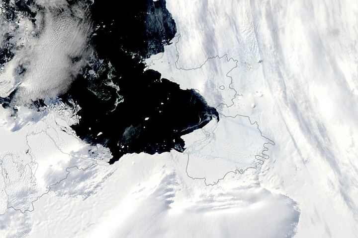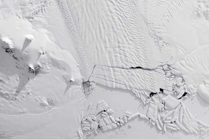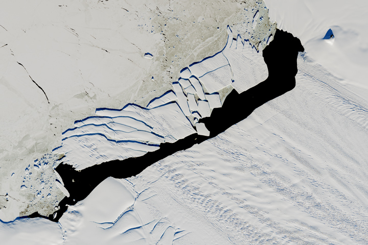

In November 2013, a large iceberg separated from the front of Pine Island Glacier. It then began a journey across Pine Island Bay, a basin of the Amundsen Sea. By mid-April, ice island B31 was headed for the swift currents of the Southern Ocean, but it became hard to track in visible light because Antarctica had fallen into winter darkness.
On April 10, 2014, the Moderate Resolution Imaging Spectroradiometer (MODIS) on NASA’s Terra satellites acquired this thermal infrared image (11 micron, MODIS band 31) of ice island B31. It depicts the temperature of ice surfaces, with brighter colors representing colder ice.
Pine Island Glacier has been the subject of intense study in the past two decades because it has been thinning and draining rapidly and may be one of the largest contributors to sea level rise. But ice islands and icebergs are not only tracked for scientific purposes; maritime agencies follow them because of the danger they can pose to ships.
As of April 11, 2014, the U.S. National Ice Center (NIC) reported that B31 was 33 kilometers long and 20 kilometers wide (18 by 11 nautical miles). NIC last observed it at 72° 23' South latitude, 108° 03' West longitude.
NASA Earth Observatory image by Jesse Allen, using data from the Level 1 and Atmospheres Active Distribution System (LAADS). Caption by Michael Carlowicz.