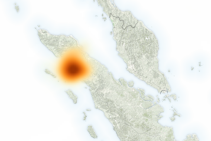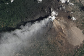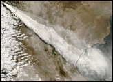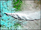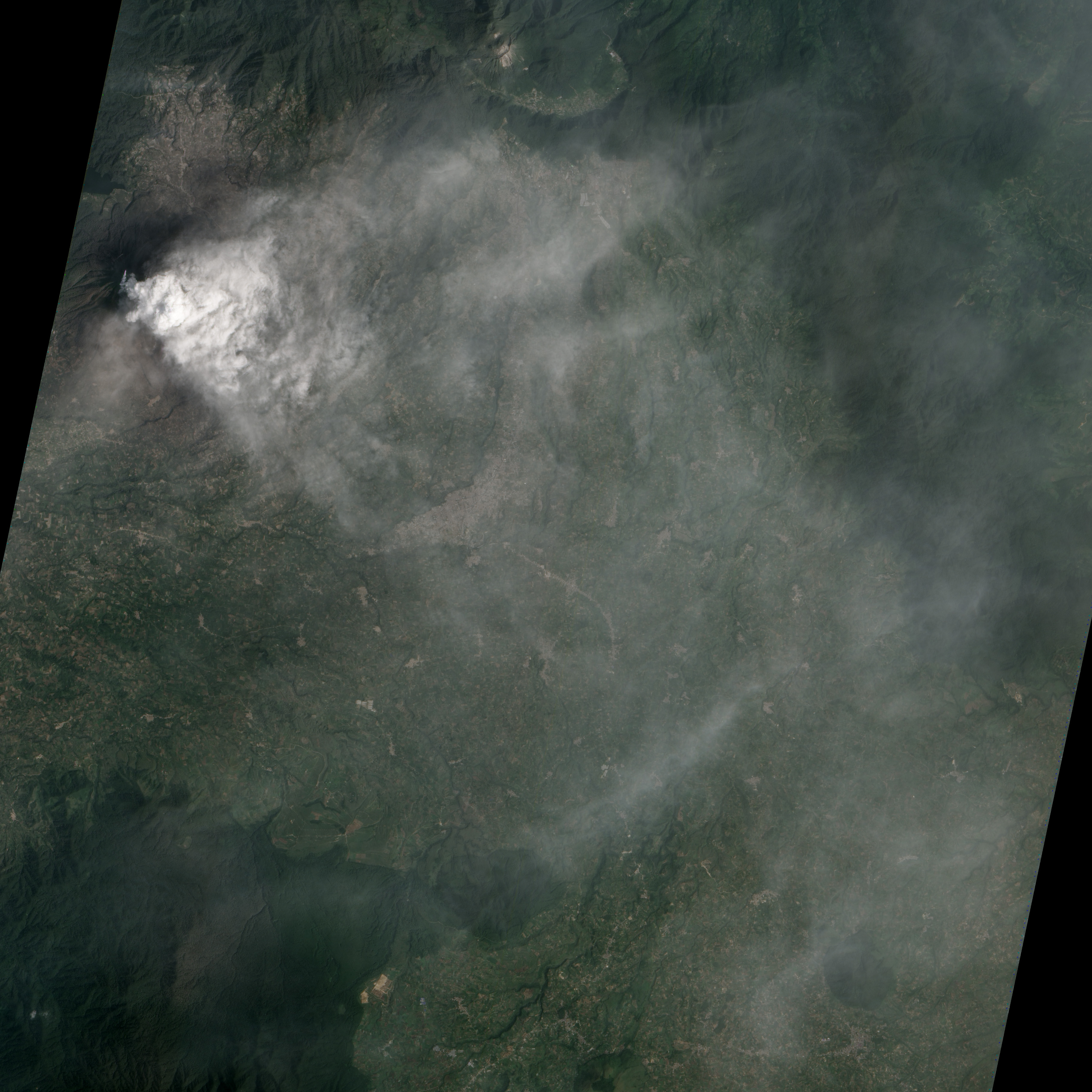
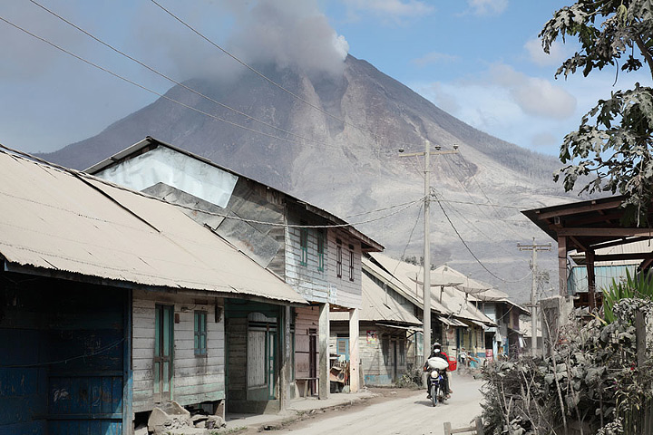
The prolonged eruption of Sinabung Volcano is disrupting the lives of the tens of thousands of Indonesians living nearby. In this natural-color satellite image (top), a steam and ash plume from the volcano partially obscures the town of Kabanjahe, located between Sinabung and Lake Toba. Ash settles on the surrounding villages (photo, below ©2014 Richard Roscoe) and farmland, destroying crops, and causes breathing problems for people far from the volcano. The satellite image was acquired by the Advanced Land Imager (ALI) on the Earth Observing-1 (EO-1) satellite on January 29, 2014.
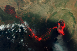
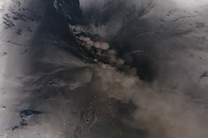
The ash emissions are fueled by a cycle of lava dome growth and collapse. In this process, thick lava is extruded from the erupting vent near the volcano’s summit. As the dome grows the outside of the lava cools, forming a solid shell, while more lava oozes up from below. Eventually, the sides of the lava dome become too steep to be stabilized by the weak rock, and it collapses. The rock, often red-hot and riddled with gas-filled holes, disintegrates as it flows down the mountainside, creating a pyroclastic flow and ash cloud.
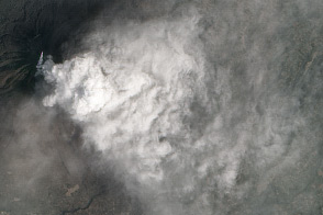
The video above shows a dome collapse and pyroclastic flow that occurred on Sinabung during January 2014.
NASA Earth Observatory image by Jesse Allen and Robert Simmon, using EO-1 ALI data from the NASA EO-1 team. Photograph & video ©2014, Richard Roscoe, Photovolcanica. Caption by Robert Simmon.