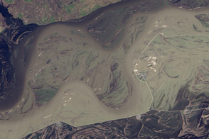
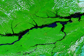
An astronaut on the International Space Station captured this photograph of floods on the Amur (Heilongjiang) River on August 21, 2013. Water levels on the river, which forms a border between northeastern China and Russia, reached 7.6 meters on August 29 and are projected to peak at 8.8 meters by September 2 or 3. The floods are the worst in 120 years for the Russian Far East, and they have already surpassed records in China.
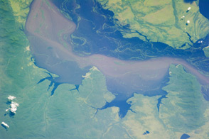
Dense brown runoff colors the water. The wider view from the Moderate Resolution Imaging Spectroradiometer (MODIS) on the Terra satellite appears to show sediment coming from the Songhua River in China.
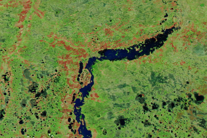
Astronaut photograph ISS036-E-34490 was acquired on August 3, 2013, with a Nikon D3S digital camera using a 400 millimeter lens, and is provided by the ISS Crew Earth Observations experiment and Image Science & Analysis Laboratory, Johnson Space Center. The image was taken by the Expedition 36 crew. It has been cropped and enhanced to improve contrast, and lens artifacts have been removed. The International Space Station Program supports the laboratory as part of the ISS National Lab to help astronauts take pictures of Earth that will be of the greatest value to scientists and the public, and to make those images freely available on the Internet. Additional images taken by astronauts and cosmonauts can be viewed at the NASA/JSC Gateway to Astronaut Photography of Earth.