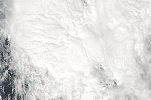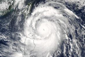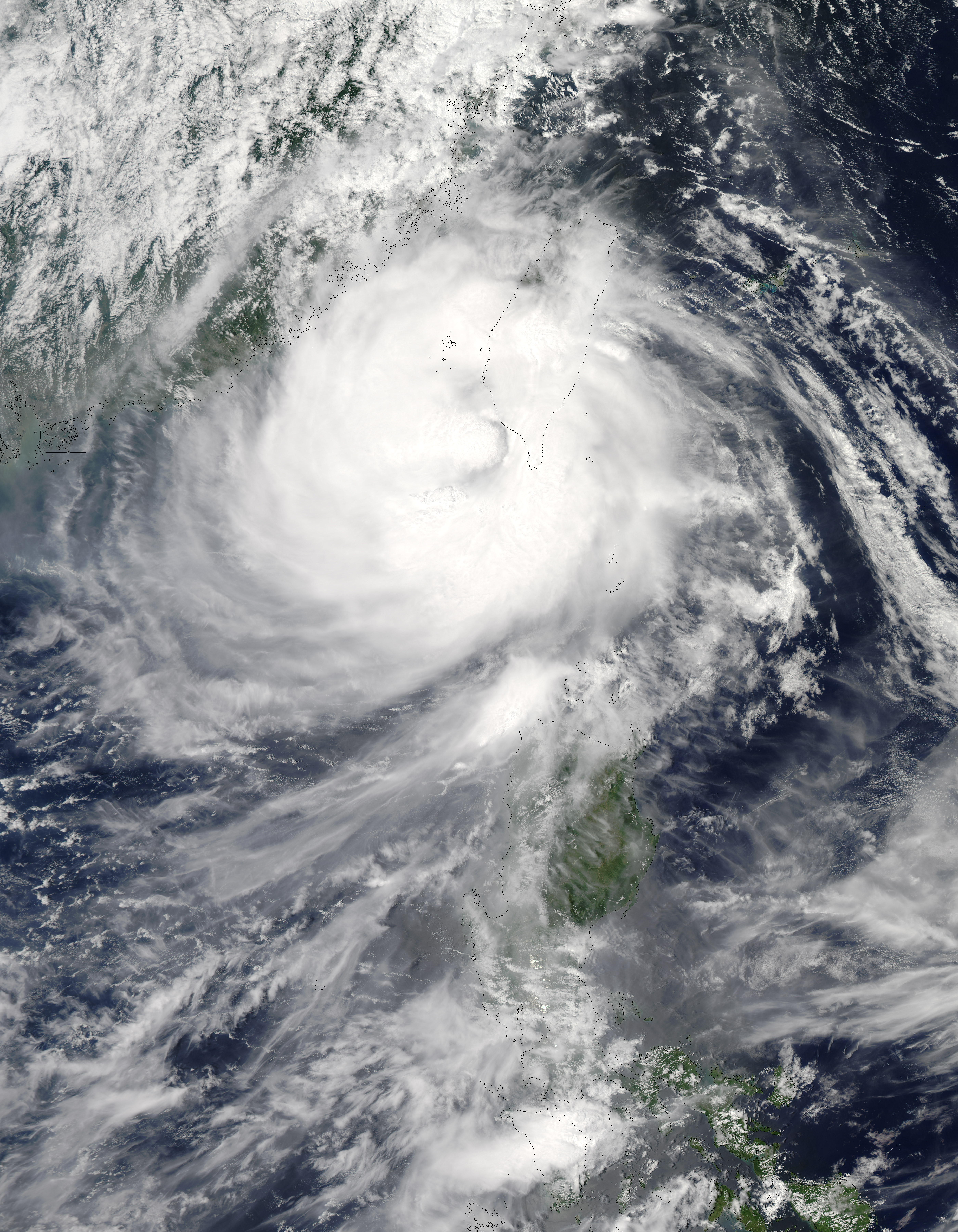
Across the island of Taiwan, about 7,000 residents evacuated their homes and 50,000 households lost power after Tembin made landfall, Agence France-Presse reported. Although earlier forecasts had called for Tembin to continue moving westward, eventually coming ashore in China, the storm changed course, and lingered over the ocean off southwestern Taiwan in late August 2012.
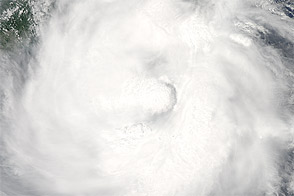
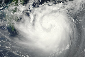
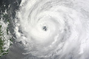
The Moderate Resolution Imaging Spectroradiometer (MODIS) on NASA’s Terra satellite captured this natural-color image on August 24. Storm clouds engulfed Taiwan, but the center of the storm appeared off the island’s coast.
The same day that MODIS acquired this image, the U.S. Navy’s Joint Typhoon Warning Center (JTWC) reported that Tembin had sustained winds of 60 knots (110 kilometers per hour) with gusts up to 75 knots (140 kilometers per hour). The storm had lost strength from the previous day, when it packed winds of 105 knots (195 kilometers per hour) and gusts up to 130 knots (240 kilometers per hour). The JTWC’s projected storm track showed the storm eventually heading northeast of Taiwan, and wind speeds were forecast to strengthen over the next 48 hours.
NASA image courtesy Jeff Schmaltz, LANCE MODIS Rapid Response Team at NASA GSFC. Caption by Michon Scott.