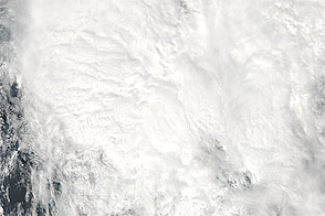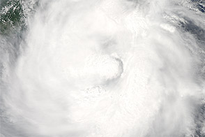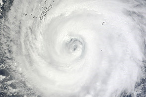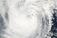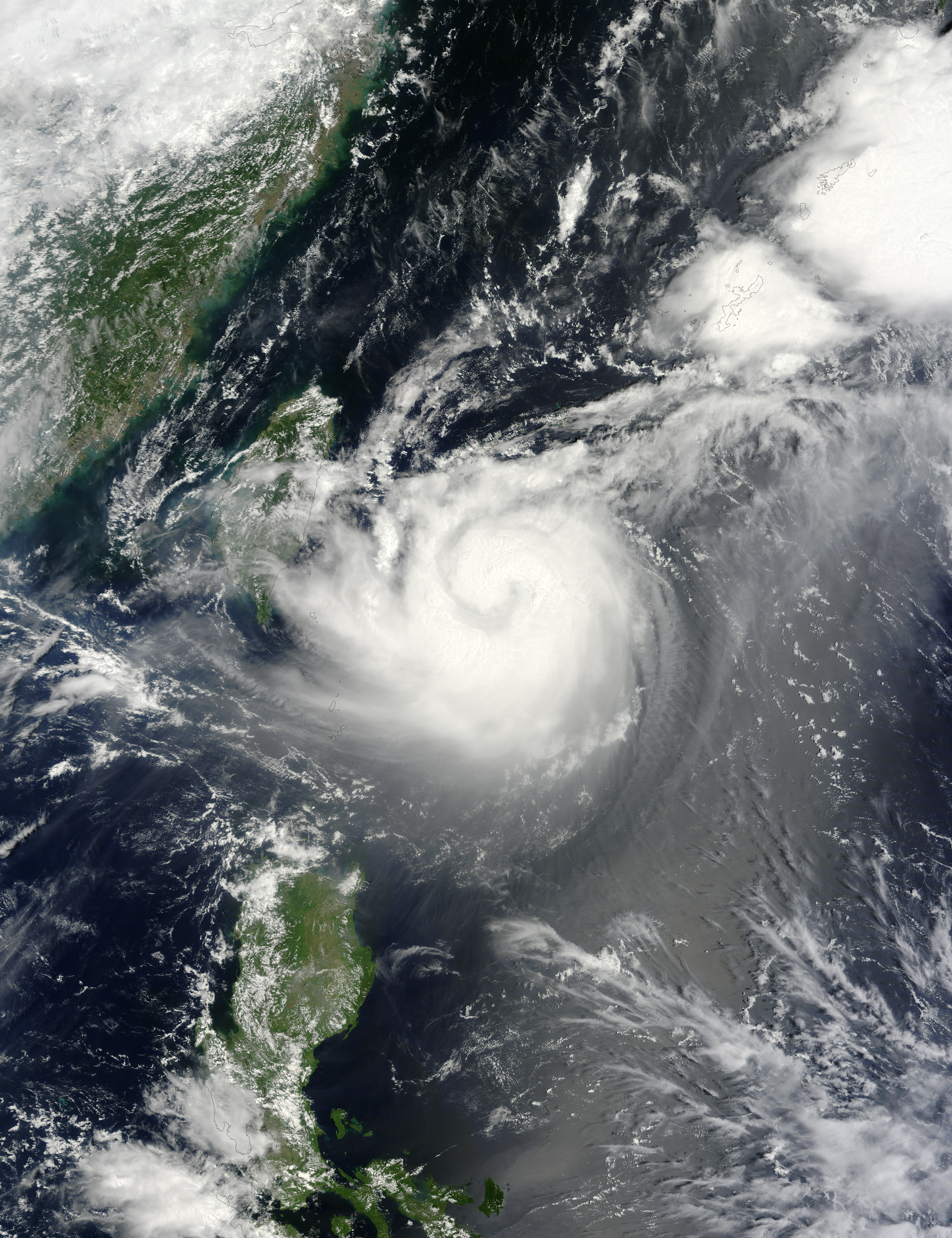
On August 22, 2012, Typhoon Tembin hovered over the western Pacific Ocean. As forecast, the storm had moved northward past the Philippines and was predicted to turn toward the west and travel over Taiwan, en route to southeastern China.
The Moderate Resolution Imaging Spectroradiometer (MODIS) on NASA’s Terra satellite captured this natural-color image on August 22. The same day that MODIS acquired this image, the U.S. Navy’s Joint Typhoon Warning Center (JTWC) reported that Tembin was located about 210 nautical miles (390 kilometers) southeast of Taipei, Taiwan. Tembin had maximum sustained winds of 90 knots (165 kilometers per hour) and gusts up to 110 knots (205 kilometers per hour). The JTWC forecast that the storm would begin to weaken in the next 24 hours but would still retain typhoon strength as it passed over Taiwan.
Tembin followed four other typhoons making landfall in southern China in the previous few weeks: Saola, Damrey, Haikui, and Kai-tak.
NASA image courtesy Jeff Schmaltz, LANCE MODIS Rapid Response Team at NASA GSFC. Caption by Michon Scott.