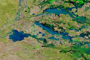
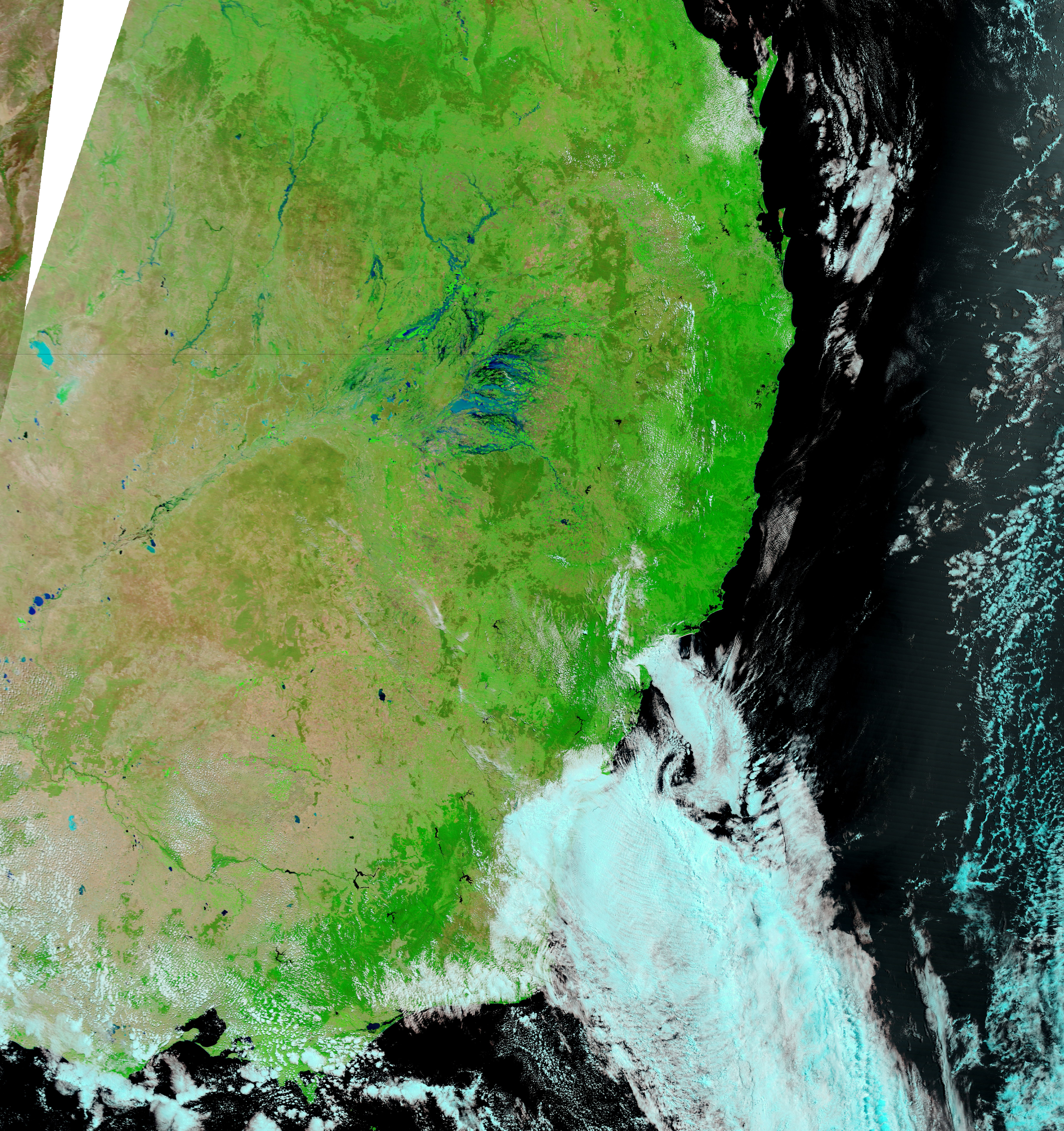
Along the border between the Australian states of Queensland and New South Wales, several communities were flooded in early February 2012. By mid-month, the flood waters had moved west. On February 19, online news source NineMSN reported that as many as 10,000 residents of northeastern New South Wales would likely be isolated from the outside world by high water.
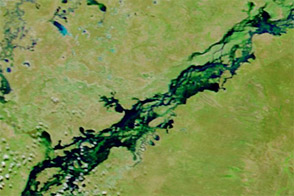
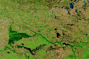
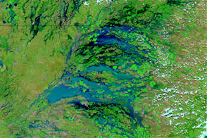
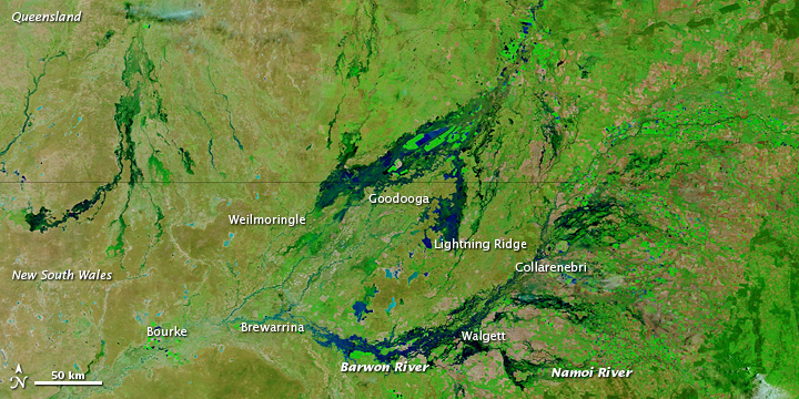
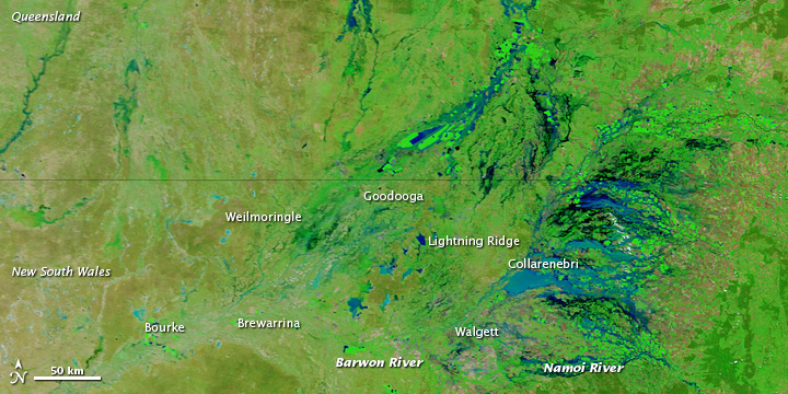
The Moderate Resolution Imaging Spectroradiometer (MODIS) on NASA’s Terra satellite acquired these images on February 18, 2012 (top), and February 6, 2012 (bottom). Both images show flood conditions, but they also show the movement of water along the Barwon and Namoi Rivers and other waterways in the region.
These images use a combination of visible and infrared light to better distinguish between water and land. Water varies from electric blue to navy, with darker shades generally indicating deeper water. Vegetation is bright green. Bare ground is earth-toned.
On February 6, floods are largely confined to areas east of Walgett. By February 18, flooding has receded east of that town, but floods have traveled westward along tributaries of the Darling River. New flooding is especially apparent between Walgett and Brewarrina, and north of Lightning Ridge and Goodooga.
NineMSN reported that several thousand residents were already isolated in the communities of Walgett, Collarenebri, Weilmoringle, and Goodooga, and flooding in those areas could persist for weeks. Floods were also expected in Brewarrina and Bourke over the next month.
NASA images courtesy LANCE/EOSDIS MODIS Rapid Response Team at NASA GSFC. Caption by Michon Scott.