Monsoon rains led to floods in Bangladesh in July 2011. The Associated Press reported that several people had been killed, and about 10,000 people had been displaced by July 22.
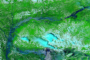
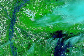
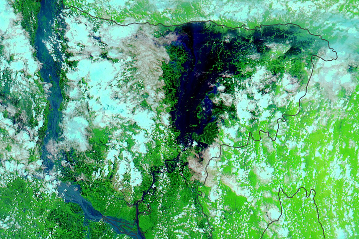
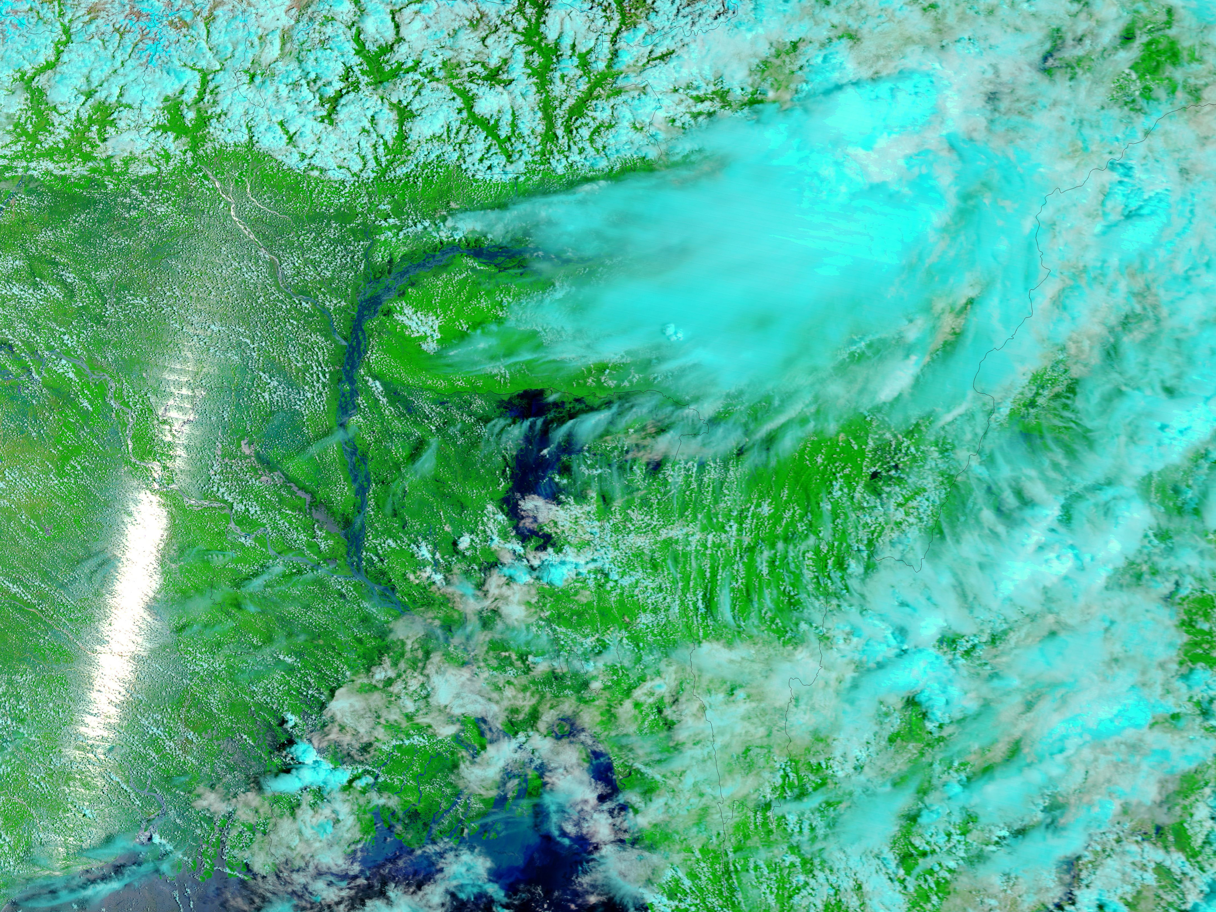
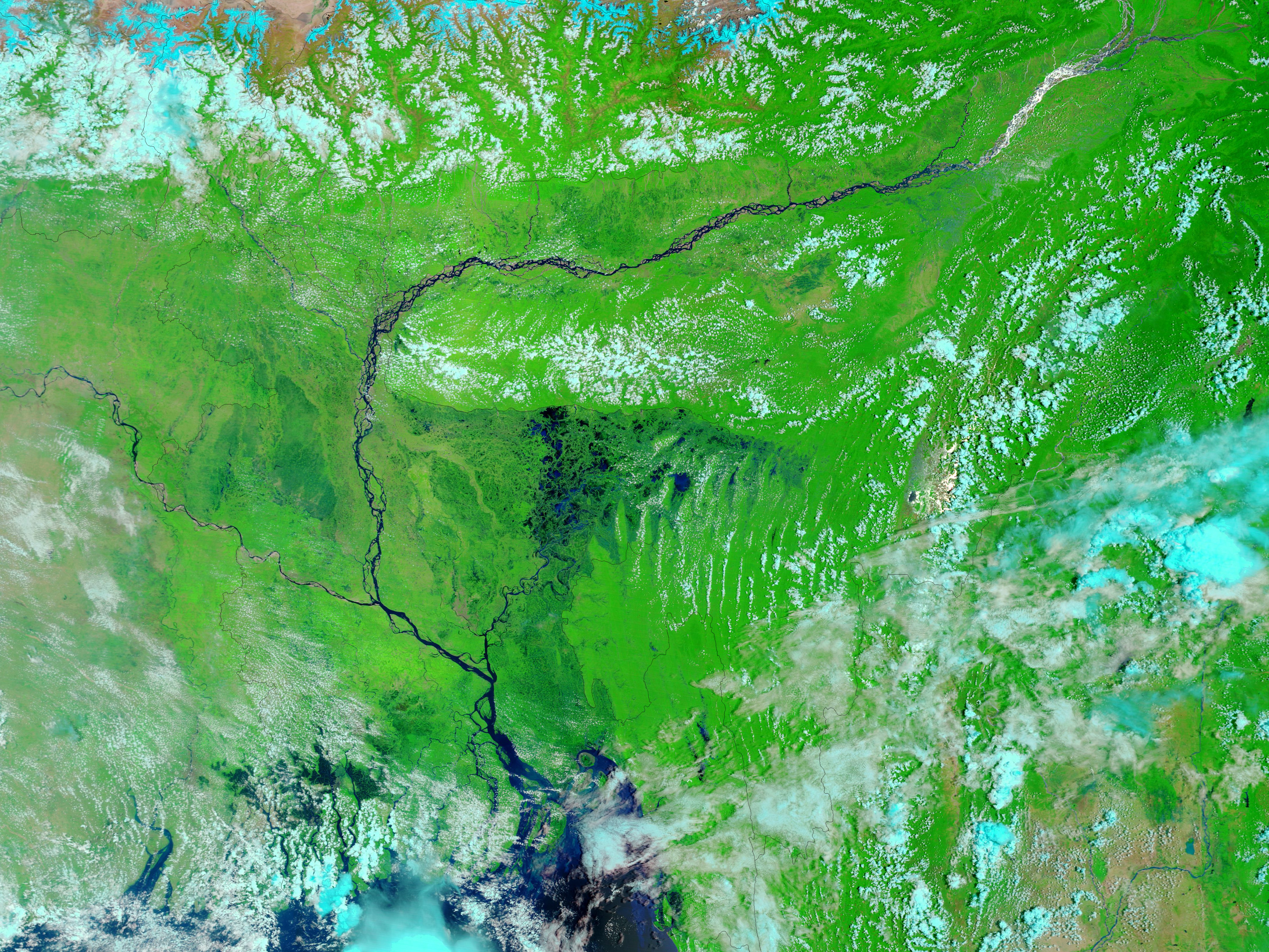
The Moderate Resolution Imaging Spectroradiometer (MODIS) on NASA’s Terra satellite acquired these images on July 25, 2011 (top), and May 26, 2011 (bottom). Both images use a combination of visible and infrared light to increase contrast between water and land. Water ranges from electric blue to navy. Vegetation is green. Clouds are pale blue-green.
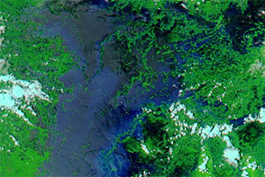
The image from late May shows northeastern Bangladesh before the rainy season, which typically starts in June. The Brahmaputra River flows through a braided channel in eastern India and Bangladesh. The image from July 2011 shows that the river’s multiple channels have coalesced, as have the water bodies in easternmost Bangladesh.
As of late July 2011, the Associated Press reported, days of heavy rain had inundated about 200 villages in Bangladesh. Each rainy season, monsoon rains typically flood large parts of the country, and many residents are forced to live on and farm such flood-prone areas, according to the CIA World Factbook.
NASA images courtesy the MODIS Rapid Response Team at NASA GSFC. Caption by Michon Scott.