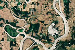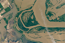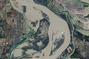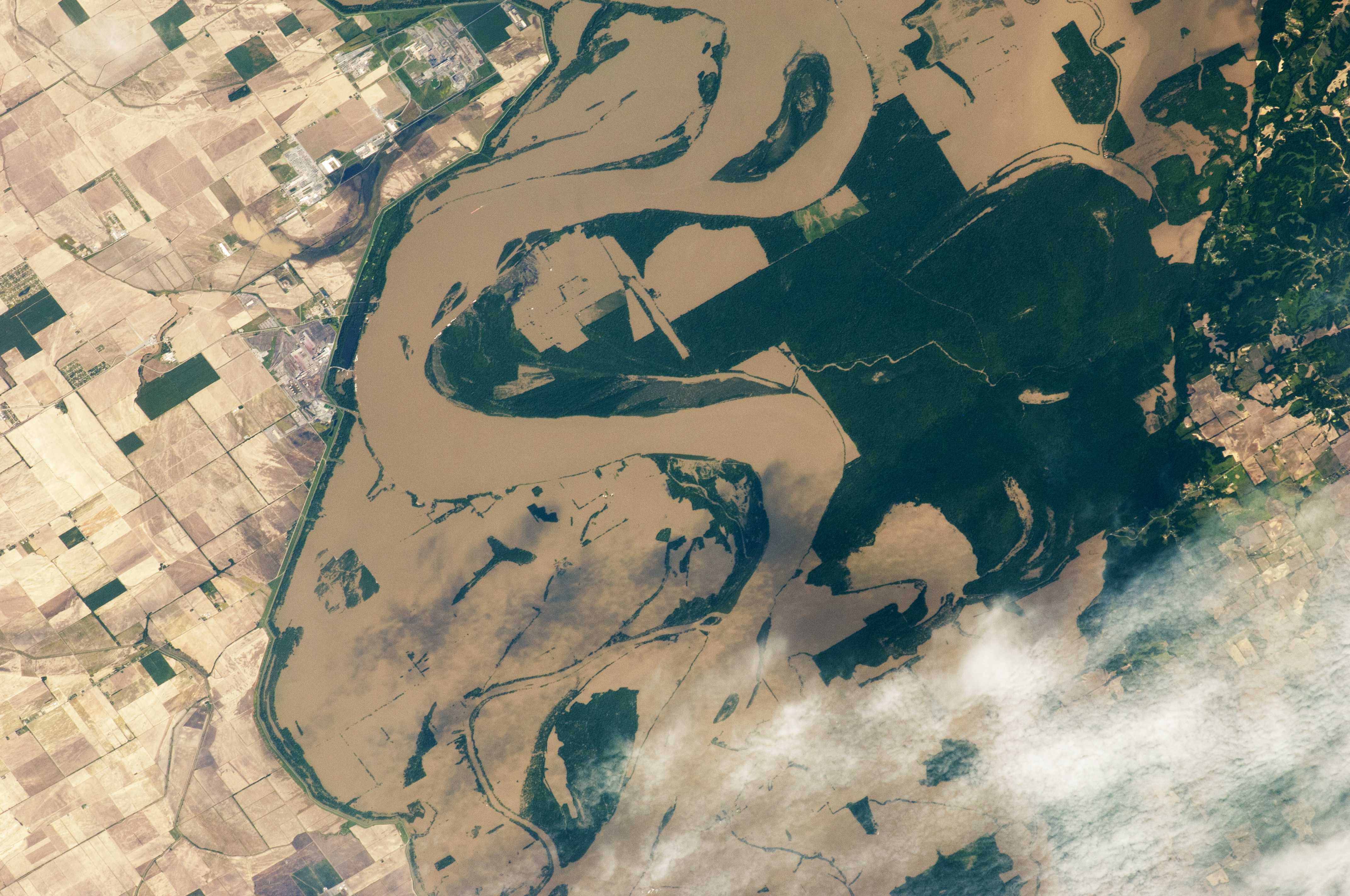
The Mississippi River spilled over its banks in Arkansas and Tennessee on May 12, 2011, as the International Space Station passed overhead. This astronaut photograph shows muddy water sitting on floodplains around Tomato, Arkansas, as well as extensive flooding to the north.
Flood waters around Tomato appear confined by an embankment in the west. The embankment extends southward from a bend in the Mississippi. West of the embankment lies a patchwork of agricultural fields. East of the river lies an expanse of dark green forest, the Anderson-Tully State Wildlife Management Area.
Astronaut photograph ISS027-E-27019 was acquired on May 12, 2011, with a Nikon D2Xs digital camera using a 400 mm lens, and is provided by the ISS Crew Earth Observations experiment and Image Science & Analysis Laboratory, Johnson Space Center. The image was taken by the Expedition 27 crew. The image in this article has been cropped and enhanced to improve contrast. Lens artifacts have been removed. The International Space Station Program supports the laboratory as part of the ISS National Lab to help astronauts take pictures of Earth that will be of the greatest value to scientists and the public, and to make those images freely available on the Internet. Additional images taken by astronauts and cosmonauts can be viewed at the NASA/JSC Gateway to Astronaut Photography of Earth. Caption by Michon Scott, based on material from the International Space Station photo gallery.