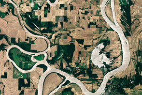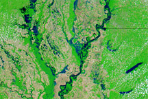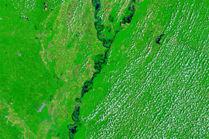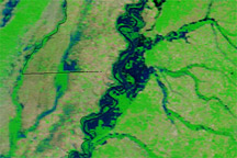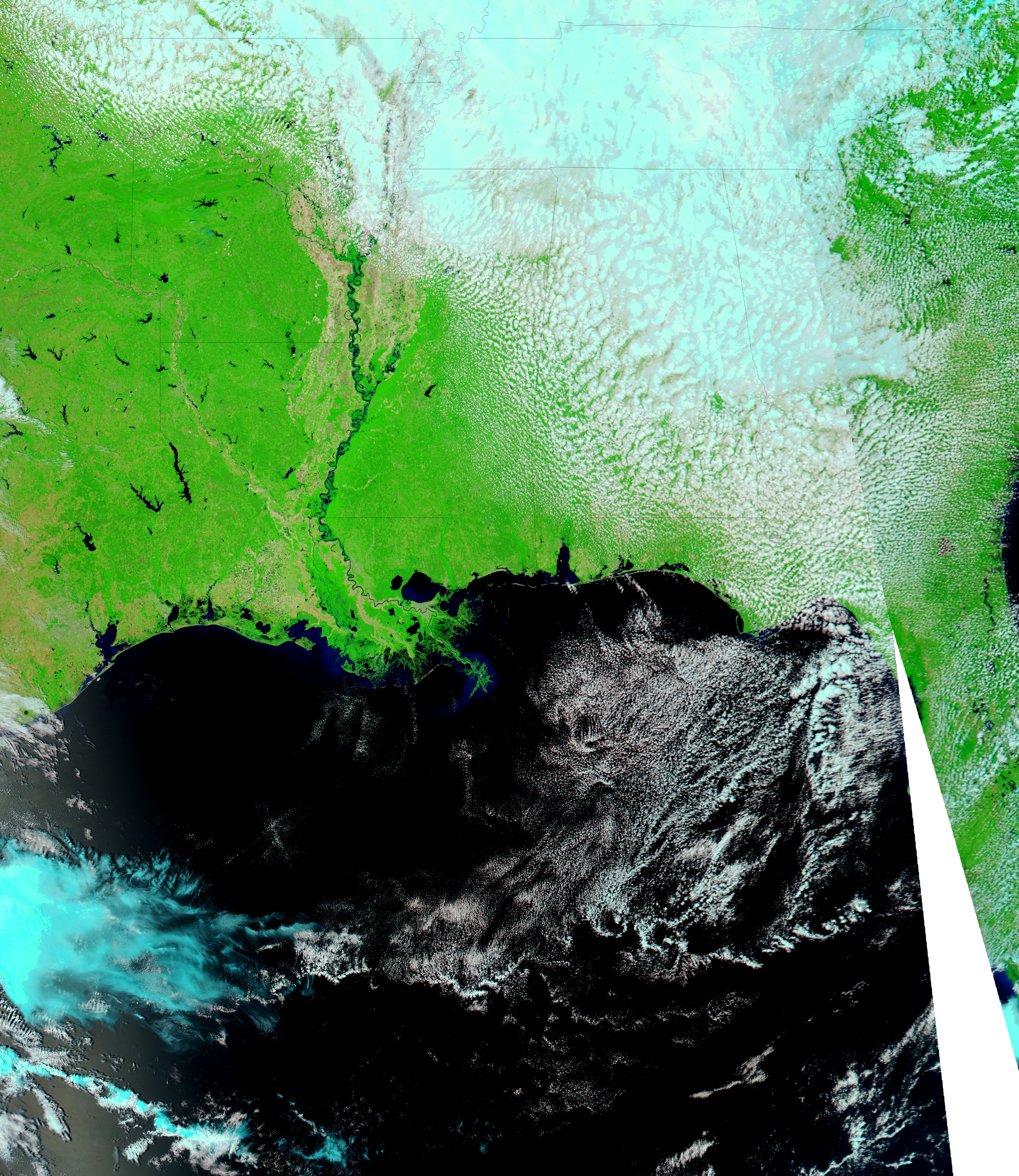
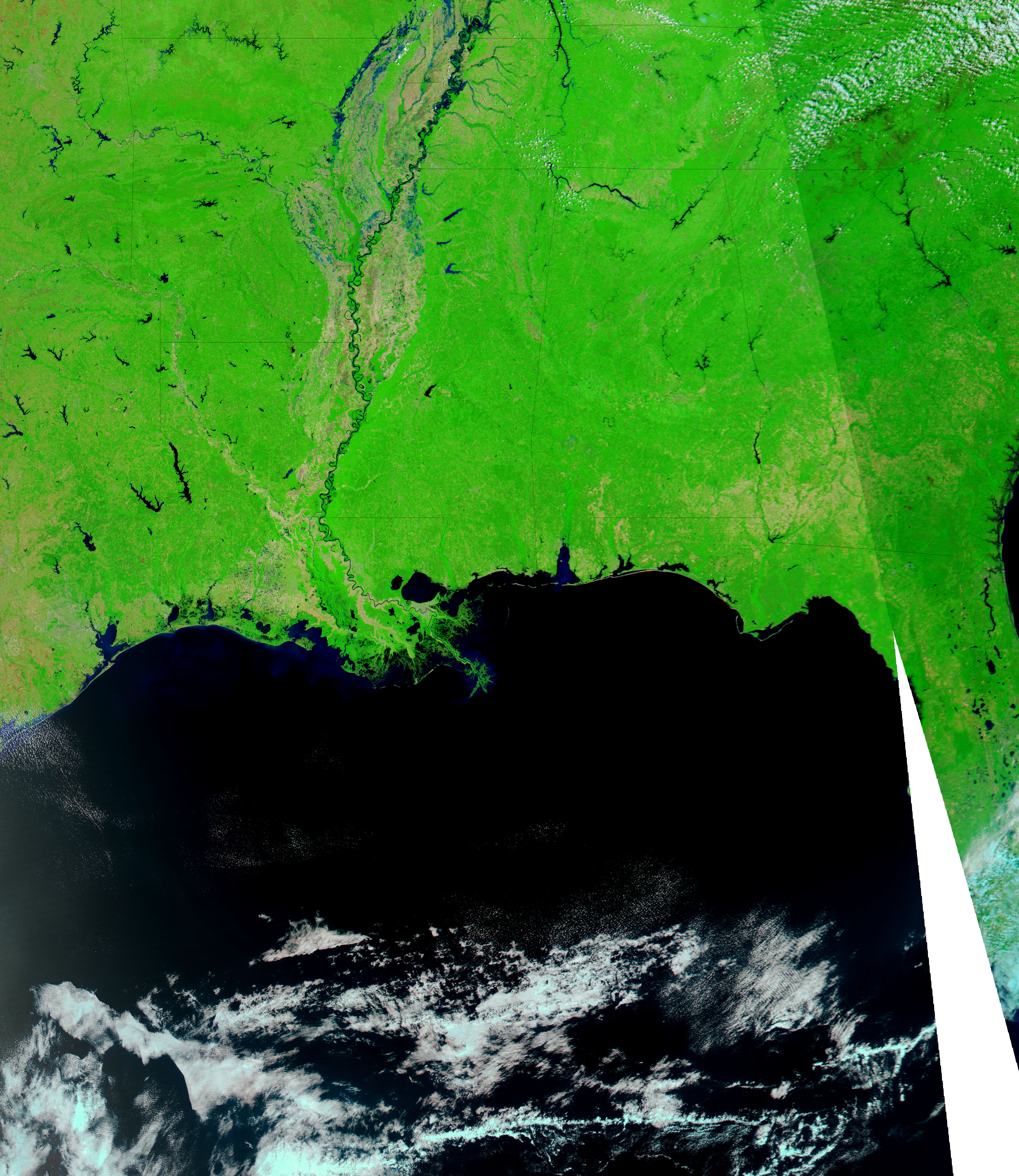
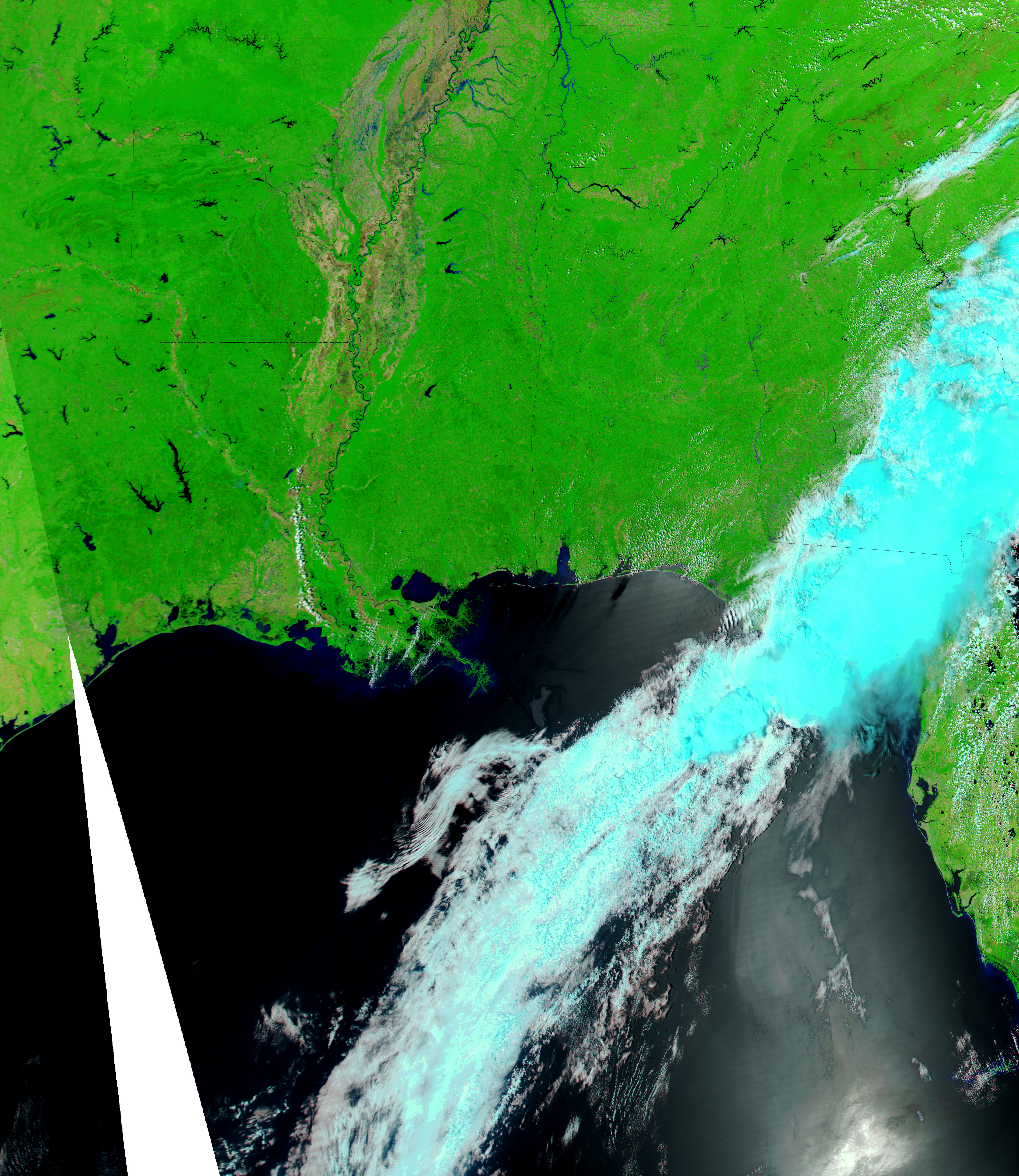
Though less obvious than flooding in the north, waters were rising steadily on the Lower Mississippi River in mid-May 2011. The Moderate Resolution Imaging Spectroradiometer (MODIS) on NASA’s Aqua satellite captured these images of the area on May 15, 2011 (top), April 29, 2011 (middle), and May 4, 2010 (bottom). The images from 2011 show flooded conditions, and the image from 2010 shows more normal conditions.
All three images use a combination of visible and infrared light to increase contrast between water and land. Water is navy. Vegetation is green. Bare ground is brown. Clouds are pale blue-green and cast shadows. The darker hues in the image from 2010 likely result from the angle of the satellite sensor.
Between late April and mid-May 2011, these images show water rising visibly north and south of Natchez, and around Morganza, where a spillway is located. Even though the city is in major flood stage, flooding is not yet visible around Baton Rouge.
The Advanced Hydrological Prediction Service (AHPS) of the U.S. National Weather Service reported that the Mississippi River at Natchez reached 61.21 feet (18.66 meters) at 11:00 a.m. CDT on May 16. This was well in excess of the record for that locality, set in 1937 at 58.04 feet (17.69 meters). The AHPS also reported that the Mississippi River at Baton Rouge reached 44.42 feet (13.54 meters) at 11:00 a.m. CDT on May 16. This level was below the city’s record flood level of 47.28 feet (14.41 meters) set in 1927. As of May 16, the Mississippi River was projected to continue rising at Natchez and, to a lesser degree, at Baton Rouge.
NASA images courtesy MODIS Rapid Response Team, Goddard Space Flight Center. Caption by Michon Scott.