Flood warnings, road closures, and evacuations struck in Manitoba in late April 2011. According to the Canadian Broadcasting Corporation (CBC) on April 25, roughly 1,600 residents had been evacuated, 30 municipalities had declared local states of emergency, and hundreds of municipal roads had been closed. The Montreal Gazette reported that the Roseau River Anishinabe First Nation south of Winnipeg was under evacuation orders, driven by the rising Red River.
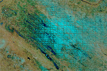
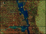
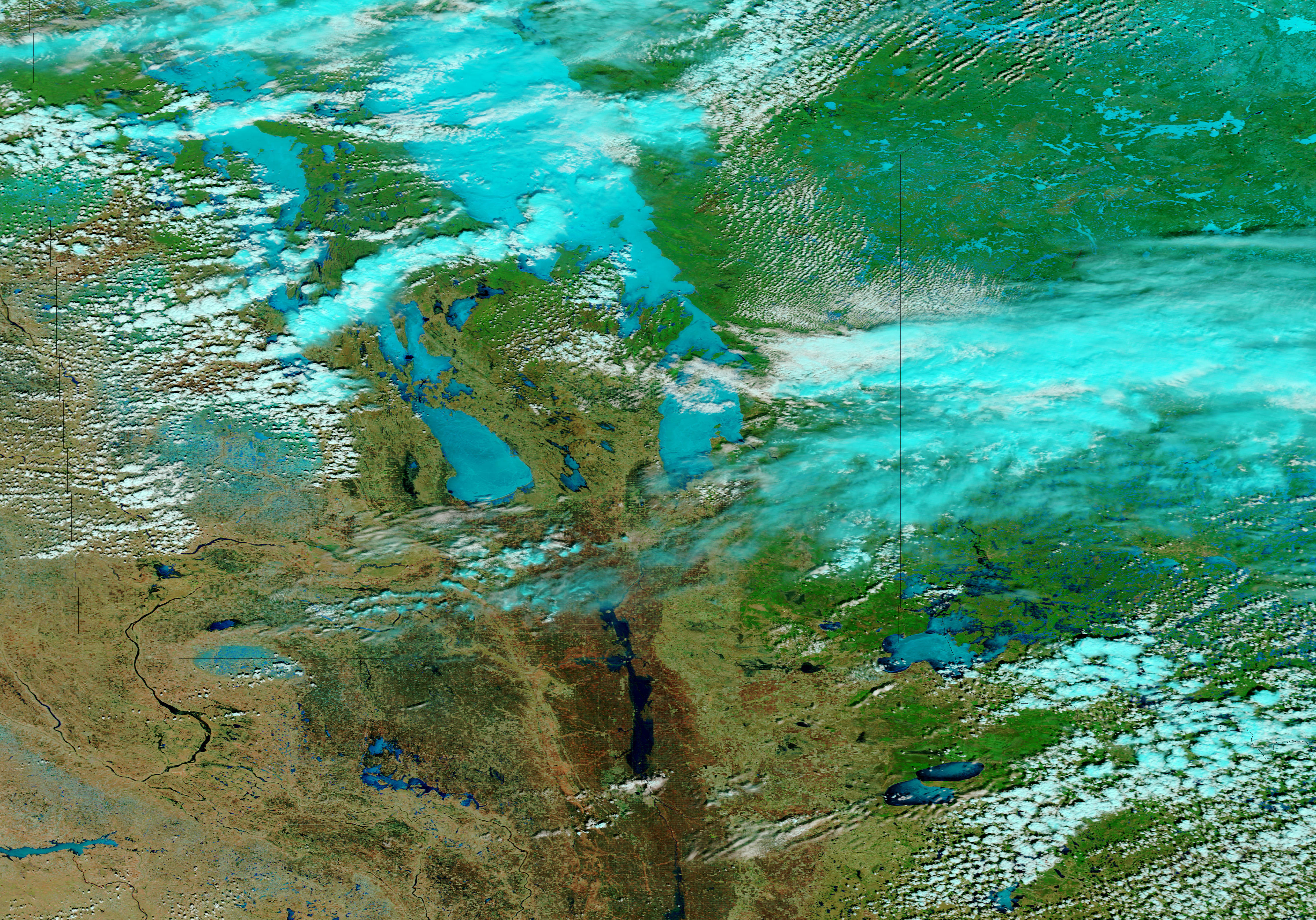
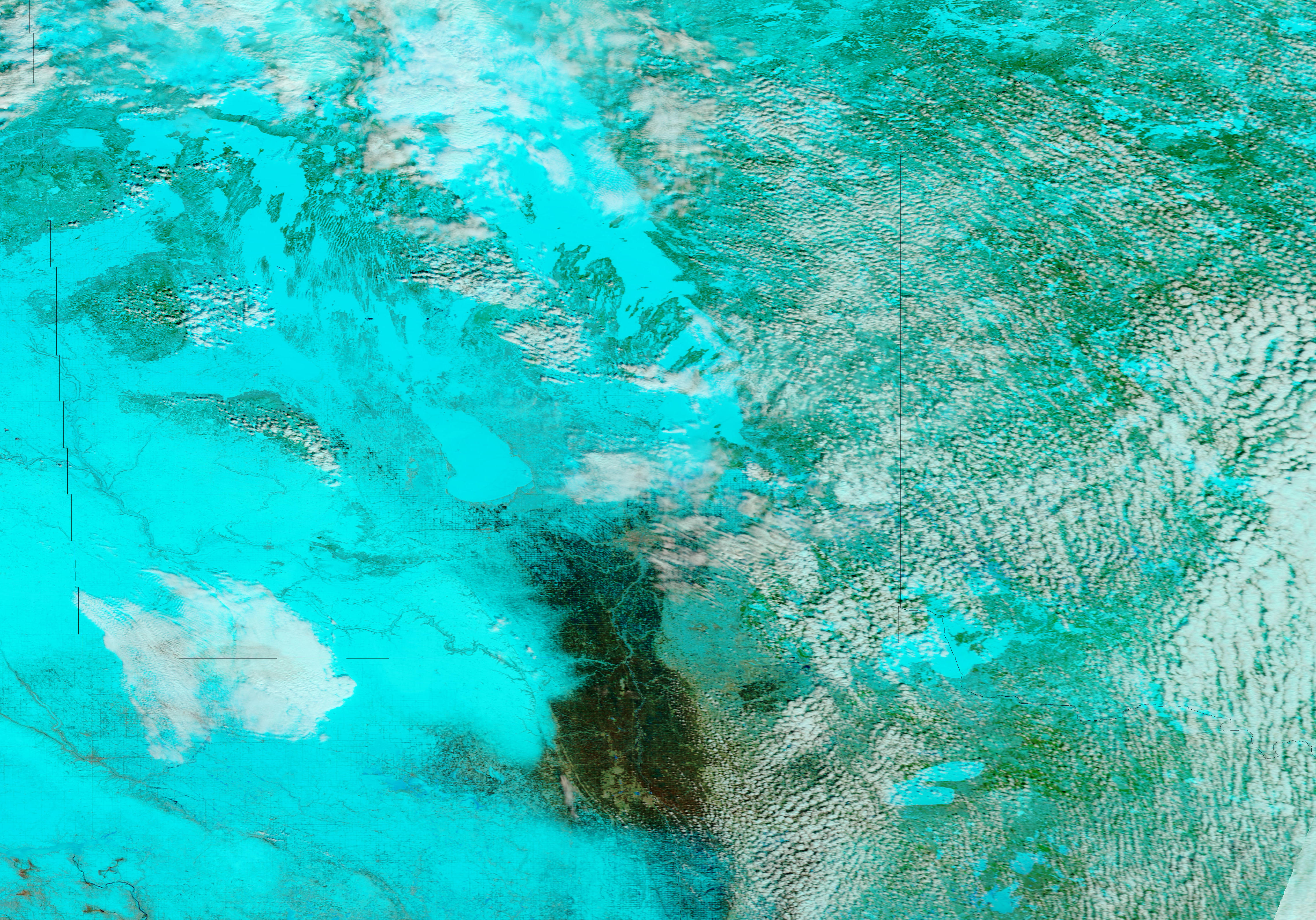
The Moderate Resolution Imaging Spectroradiometer (MODIS) on NASA’s Terra satellite acquired these images on April 24, 2011 (top), and April 4, 2011 (bottom). The images use a combination of infrared and visible light to increase the contrast between water and land. Snow is bright turquoise. Ice-covered water bodies are electric blue. Water is dark blue. Vegetation is green. Soil is earth-toned. Clouds are pale blue-green.
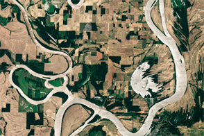
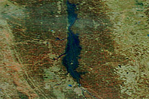
Snow blankets most of the region in early April, but it has largely retreated 20 days later. One lingering area of snow occurs north of the Assiniboine River in southwestern Manitoba. Ice likewise lingers on Lake Manitoba and Lake Winnipeg. Most of the snow cover, however, has melted, and rivers have risen. The Red River, which has already spilled over its banks along the North Dakota-Minnesota border, remains high. The Assiniboine and Souris Rivers—invisible in early April—are conspicuous on April 24. CBC reported that the Assiniboine River was the primary focus of Manitoba’s flood-mitigation efforts. Meanwhile, the Qu’Appelle River in Saskatchewan remained high.
NASA images courtesy MODIS Rapid Response Team, Goddard Space Flight Center. Caption by Michon Scott.