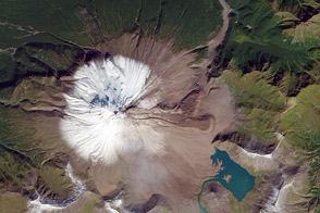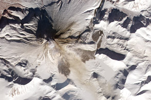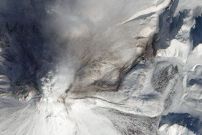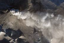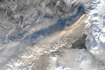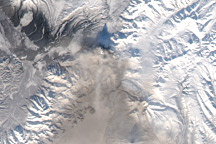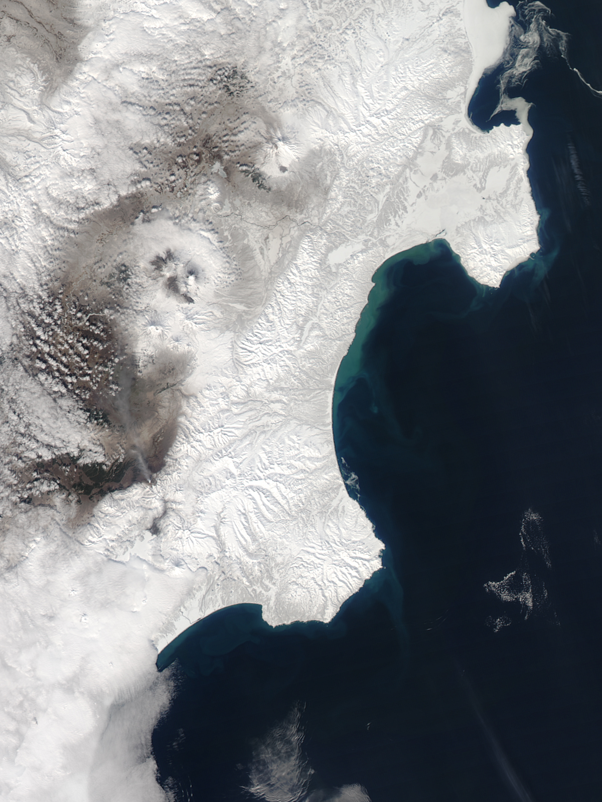
Kizimen Volcano on the Kamchatka Peninsula was emitting gas and steam from its summit in the afternoon of April 16, 2011, when the MODIS instrument on NASA’s Aqua satellite acquired this image. According to the Kamchatka Volcanic Eruption Response Team (KVERT), the volcano has been quite active, with satellites detecting a thermal anomaly at the summit every day in the past week.
A plume is blowing to the northwest from the summit in this image, though in previous days, wind had been carrying ash about 255 kilometers (160 miles) to the south and west. Recent snowfall covers the ashfalls, though spring warmth melted off the snow cover to the east of the volcano. Lava flows also appear to have melted snow, with a pattern of meltwater running down the side of the mountain to Lake Kronotskoe, which still has an ice cover.
Reaching an elevation of 2,376 meters (7,795 feet), Kizimen is a stratovolcano composed of alternating layers of ash, lava, and rocks thrown out by previous eruptions. Geologists estimate that the volcano formed about 12,000 years ago. Kizimen experienced an explosive eruption in 1927. The volcano began showing seismic activity in June 2010, and has been actively erupting since December 2010.
NASA image by Jeff Schmaltz, MODIS Rapid Response Team, Goddard Space Flight Center. Caption by Jesse Allen.