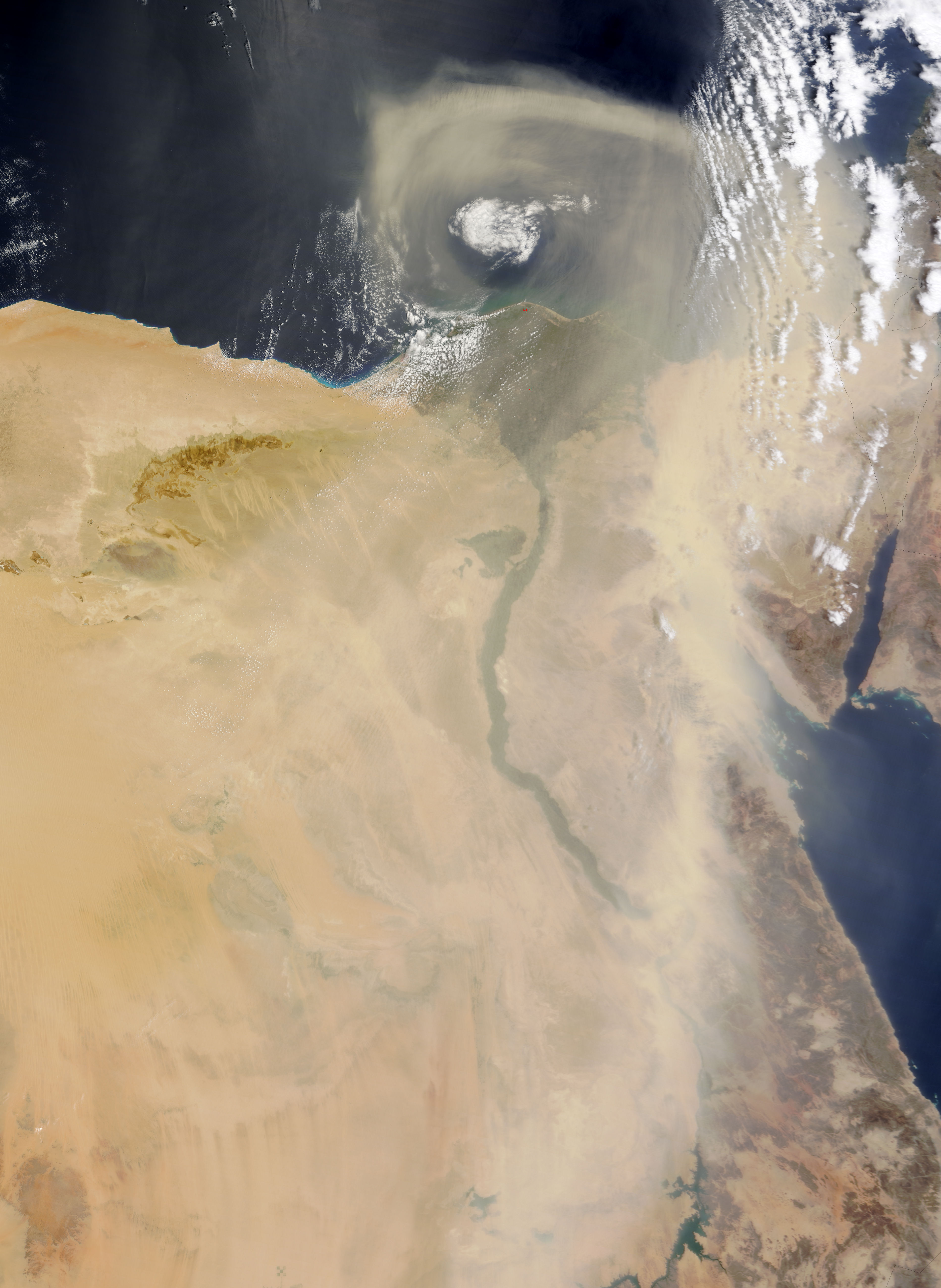
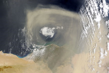
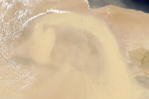
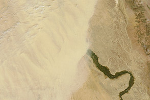
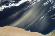
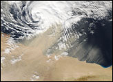
Thick dust defines a storm system over Egypt in this natural-color image from May 27, 2010. The distinctive green vegetation that outlines the Nile River is faded behind of thin veil of dust. Thicker dust blows north along the Red Sea and curls into a spiral over the Mediterranean Sea. The large image, which covers a wider area, shows the dust plume extending several hundred kilometers to the south. The previous day, the dust storm had been over the border between Egypt and Libya. The storm kept its comma shape as it moved east and north.
The Moderate Resolution Imaging Spectroradiometer (MODIS) on NASA’s Terra satellite captured this image on May 27, 2010. The large image is the highest-resolution version of the image, but the image is available in additional resolutions from the MODIS Rapid Response Team.
NASA images courtesy Jeff Schmaltz, MODIS Rapid Response Team at NASA GSFC. Caption by Holli Riebeek.


