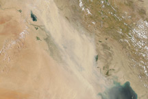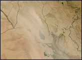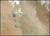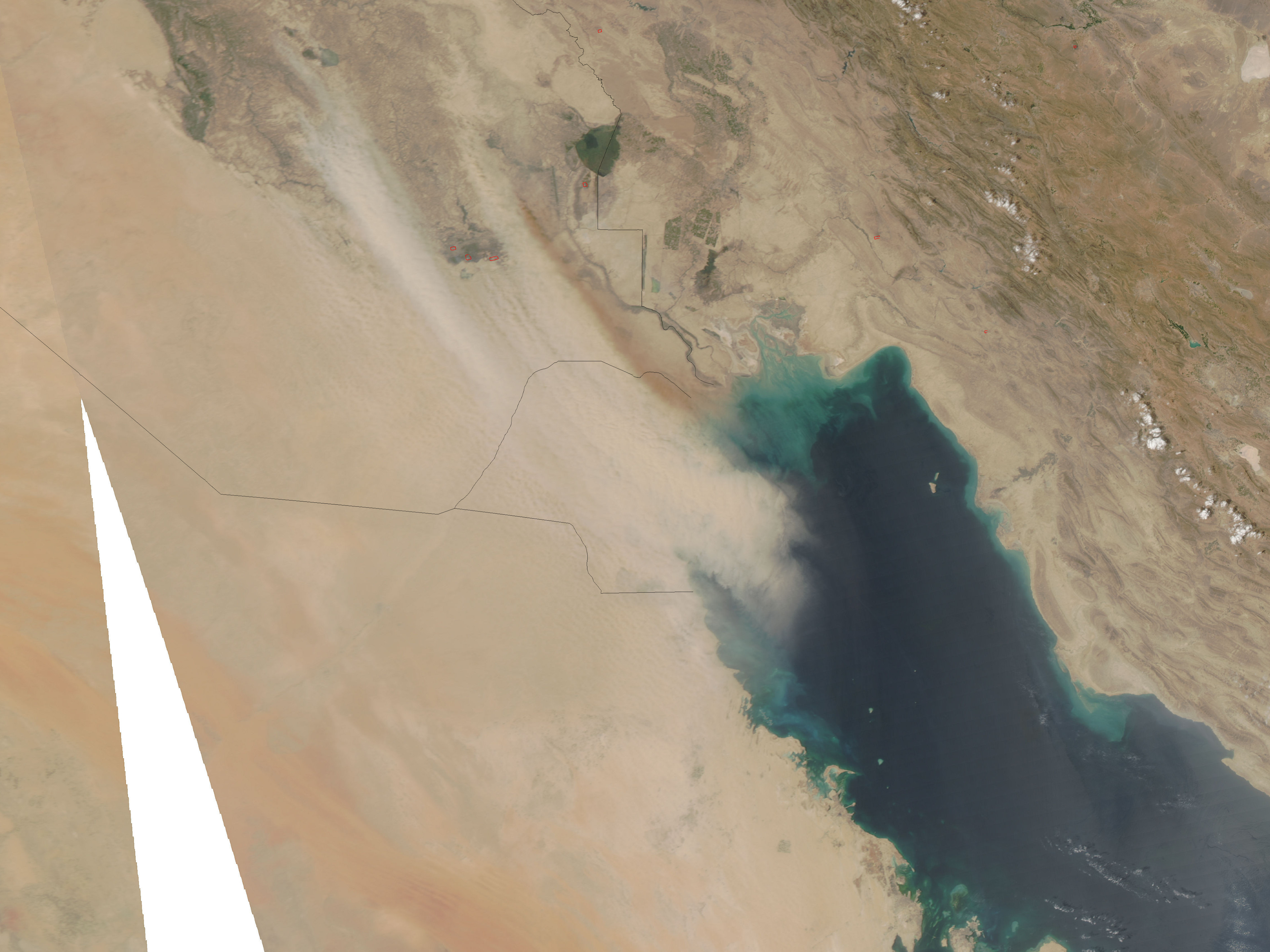
Thick clouds of dust blew from the agricultural lands between the Euphrates and Tigris Rivers in Iraq on August 15, 2009. The pale dust obscures most of Kuwait and culminates in a distinct plume over the Persian (Arabian) Gulf. One plume on the east side of the storm is darker than the rest of the airborne dust. This plume either comes from a different type of source—exposed agricultural soil instead of desert, perhaps—or it is a plume of smoke from a fire. Red dots mark where the Moderate Resolution Imaging Spectroradiometer (MODIS) detected fires, but in this case, a fire may be hidden from the sensor by the dust storm. Ongoing drought may be contributing to the frequent and severe dust storms Iraq has experienced in 2009.
The MODIS sensor flying on NASA’s Aqua satellite captured this image on August 15, 2009. Twice-daily images of Iraq and Kuwait are available from the MODIS Rapid Response System.
NASA image courtesy the MODIS Rapid Response Team at NASA GSFC. Caption by Holli Riebeek.