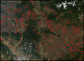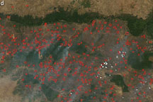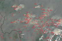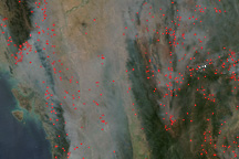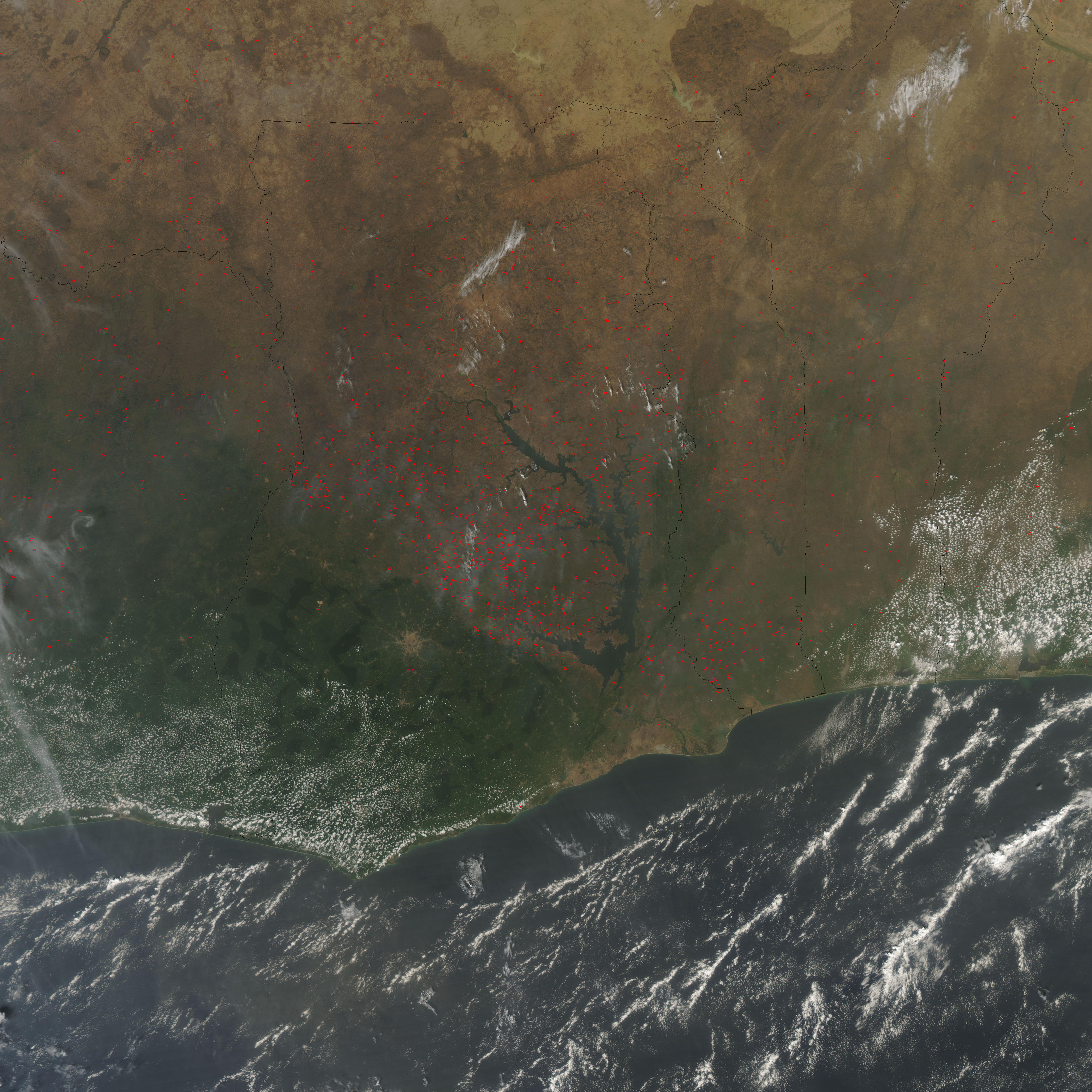
Ghana’s economy is dominated by agriculture, with more than half the population employed in that sector. In the dry season (roughly Northern Hemisphere winter), agriculture-related fires are common. This image of the country and its neighbors, Ivory Coast to the west and Togo to the east, was captured by the Moderate Resolution Imaging Spectroradiometer (MODIS) on NASA’s Aqua satellite on January 11, 2009. Places where the sensor detected active fires are marked in red. The fires dominate the drier parts of the country to the west of Lake Volta and north of the city of Kumasi. Although such fires are not necessarily immediately hazardous, they can have a large impact on air quality and human health, climate, and natural resources.
Ghana’s climate is warm and humid along the southeast coast and becomes progressively drier to the north. Tropical forests once dominated the southeastern landscape, and some forest fragments continue to be protected in a collection of reserves. The forested reserves appear as dark green, sharply geometric shapes. Moving northward in the country, the landscape transitions first to savanna (a mixture of woodlands and grasslands) and then to drier grasslands. Crops grown in Ghana include corn, sorghum, yams, cassava, and cereal grains.
NASA image courtesy the MODIS Rapid Response Team. Caption by Rebecca Lindsey.