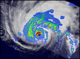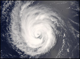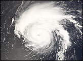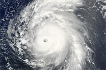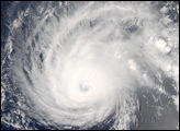
Hurricane Bertha first formed as a tropical wave off the western coast of Africa on July 3, 2008. Intensifying gradually over the next few days as it traveled across warm waters in the Atlantic Ocean, Bertha reached hurricane status, peaking as a Category 3 strength storm without making landfall or crossing any islands. As of midday on July 8, the hurricane was arcing northward in the general direction of Bermuda, and had weakened slightly to Category 2. Forecasters at the National Hurricane Center were not anticipating that the storm would strike Bermuda.
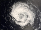
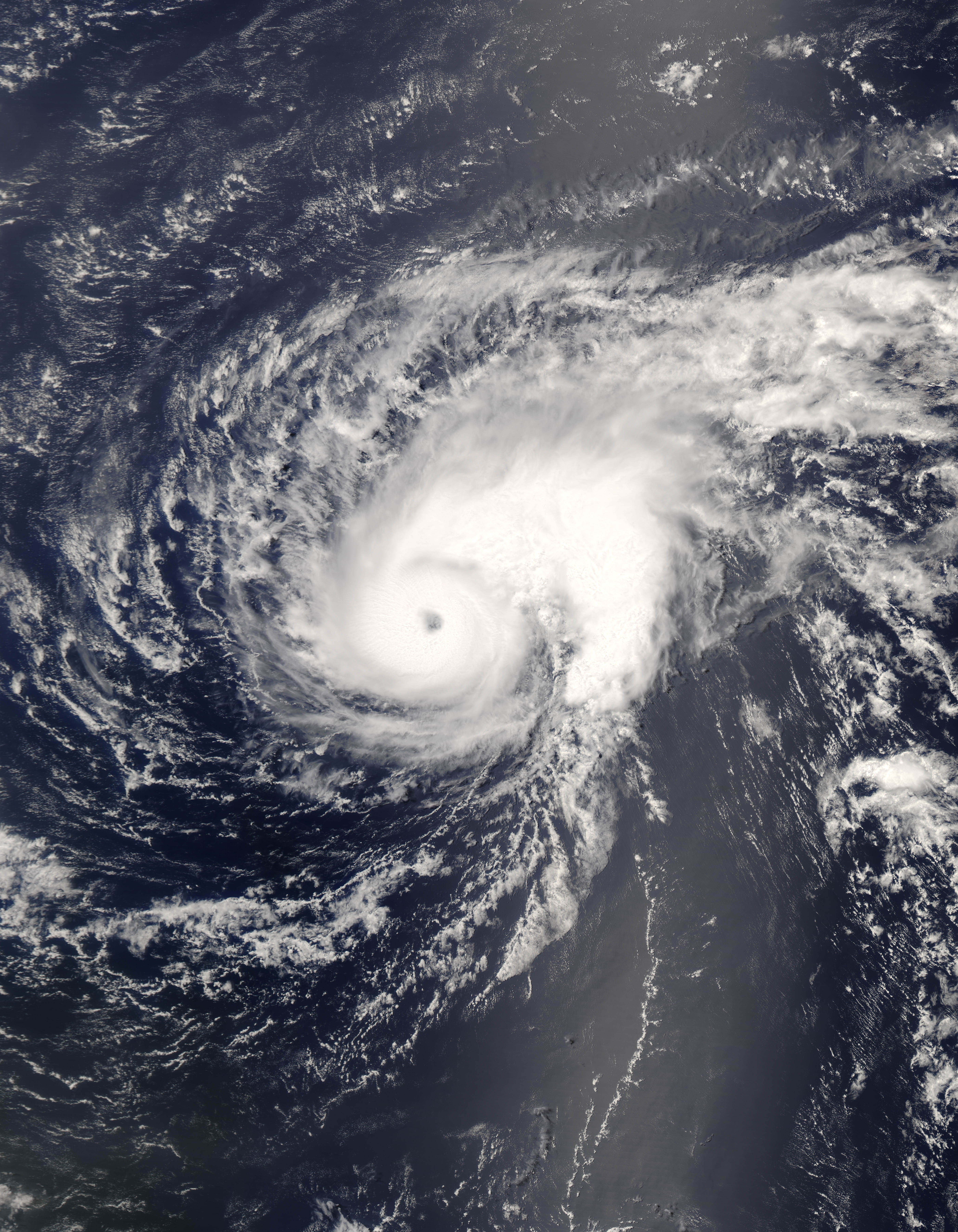
This natural-color satellite image, obtained by the Moderate Resolution Imaging Spectroradiometer (MODIS) on NASA’s Aqua satellite shows Hurricane Bertha as it appeared at 1:30 p.m. local time (16:30 UTC) on July 7, 2008. The hurricane was a Category 1 storm at this time, but it intensified to Category 3 within hours of this MODIS observation. Bertha appears as a well-developed system, with tightly wound spiral arms wrapping around a well-formed and distinct eye at its center. The afternoon sun shining on the cloud tops also casts a deep shadow into the center of the storm where the steep eyewall begins.
The high-resolution image provided above is at MODIS’ full spatial resolution (level of detail) of 250 meters per pixel. The MODIS Rapid Response System provides this image at additional resolutions.
NASA image by Jeff Schmaltz, MODIS Rapid Response Team, Goddard Space Flight Center. Caption by Jesse Allen.