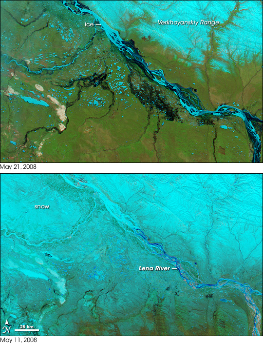
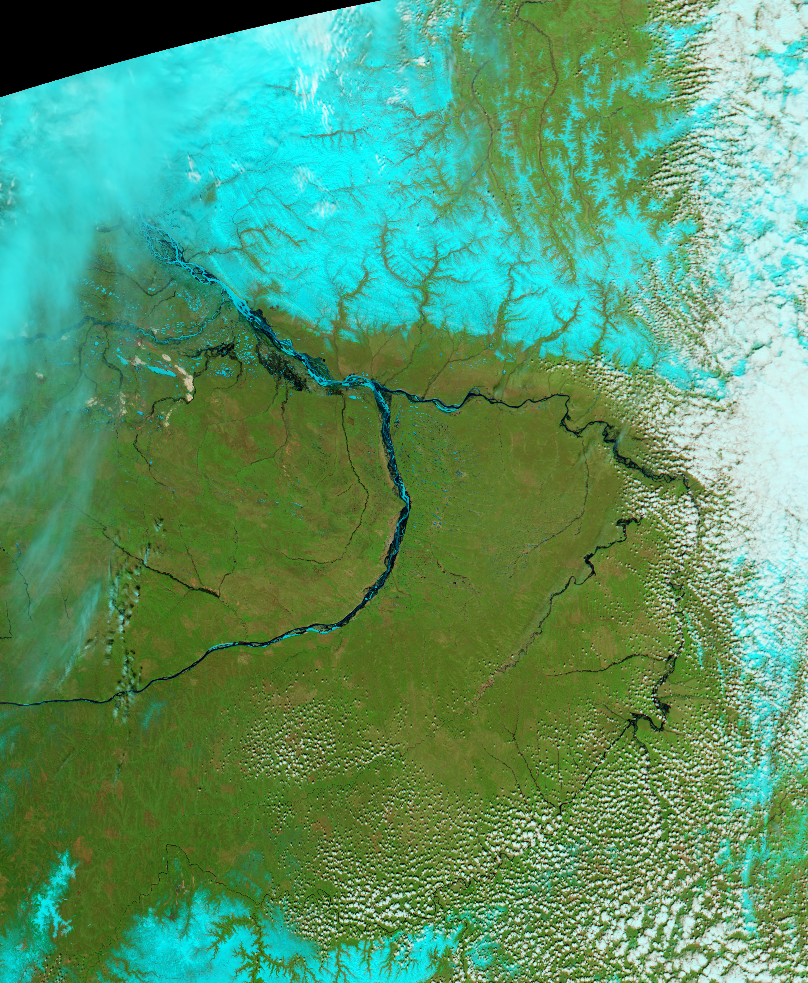
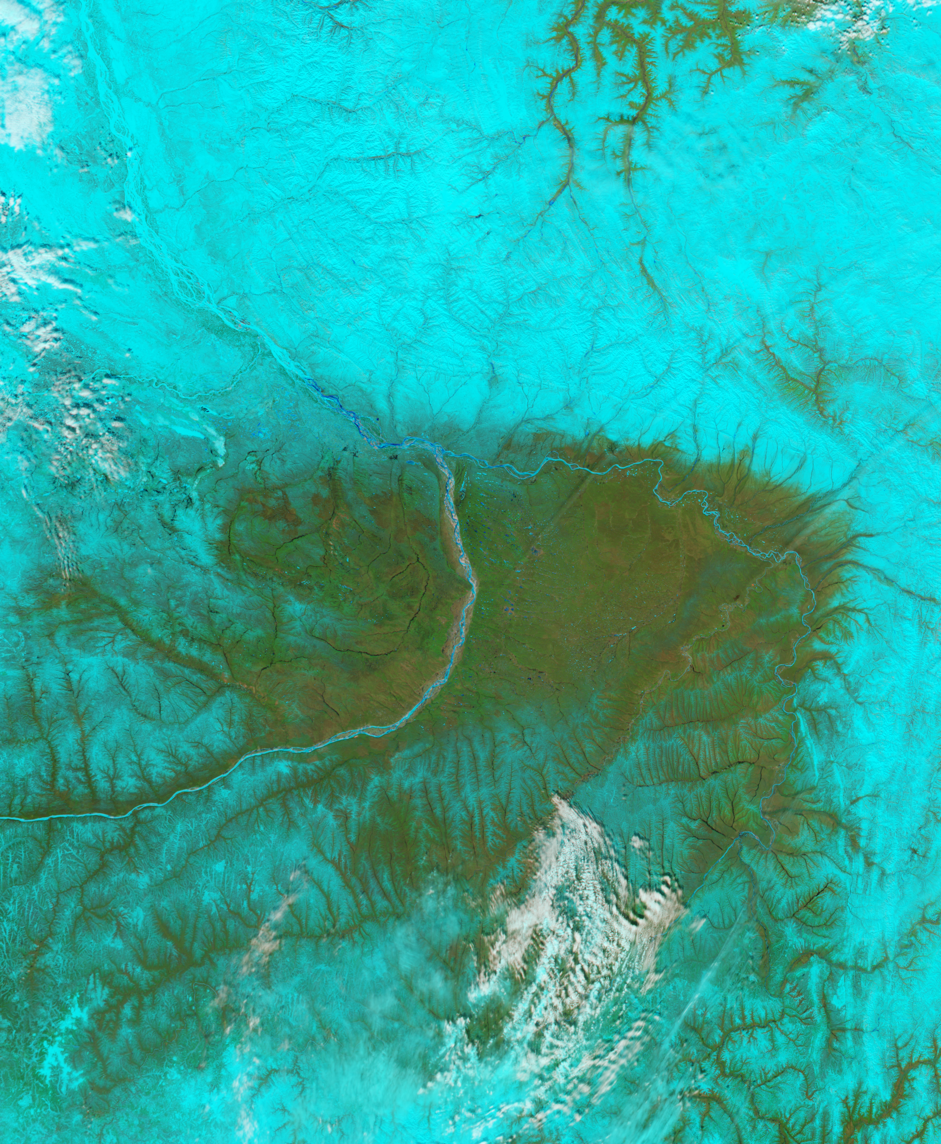
May brought warming temperatures and spring floods to Siberia. The Moderate Resolution Imaging Spectroradiometer (MODIS) on NASA’s Aqua satellite captured the top image of floods on the Lena River on May 21, 2008. The lower image was taken ten days earlier, on May 11.
The images are in false color to increase the contrast between liquid and frozen water. Snow and ice are turquoise. Liquid water is black. In the days that passed between the two images, the snow disappeared everywhere but the Verkhoyanskiy Mountain Range. Bright green vegetation has taken its place. The main channel of the Lena River remains frozen, however, and this is causing floods. Liquid water surrounds the icy center of the north-flowing river, pooling along the river’s banks.
The Lena’s tributaries are also flooded. With ice restricting the flow of water in the Lena, water in the tributaries has no where to go. In the large image, downstream sections of the Lena River are swollen. The river and its tributaries will remain flooded until spring melts the ice on the river.
You can download a 250-meter-resolution KMZ file of the flooding suitable for use with Google Earth.
NASA image created by Jesse Allen, using data provided courtesy of the MODIS Rapid Response team. Caption by Holli Riebeek.


