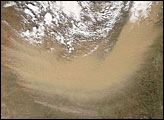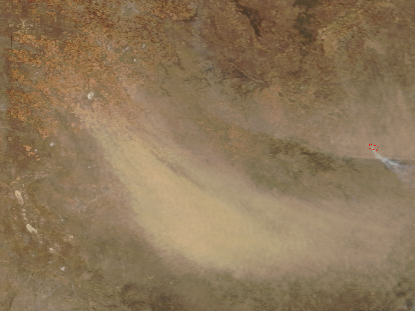
High winds harried much of Texas in late January 2008. On January 29, 2008, The Moderate Resolution Imaging Spectroradiometer (MODIS) on NASA’s Terra satellite captured this image of a dust storm near Lubbock, Texas, not far from the New Mexico border. This image shows a wide swath of dust blowing toward the southeast.
East of the dust storm, a red outline indicates a hotspot of unusually warm surface temperatures, indicating a fire. According to news reports, the Texas Forest Service responded to more than 20 major fires that burned a total of roughly 18,700 acres on January 29. High winds and blowing dust were expected in the Midland-Odessa region the next day.
NASA image courtesy Jeff Schmaltz, MODIS Land Rapid Response Team at NASA GSFC. Caption by Michon Scott.