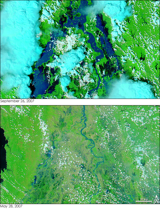
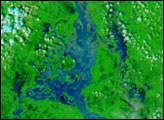
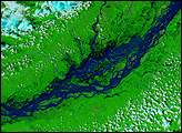
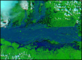
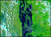
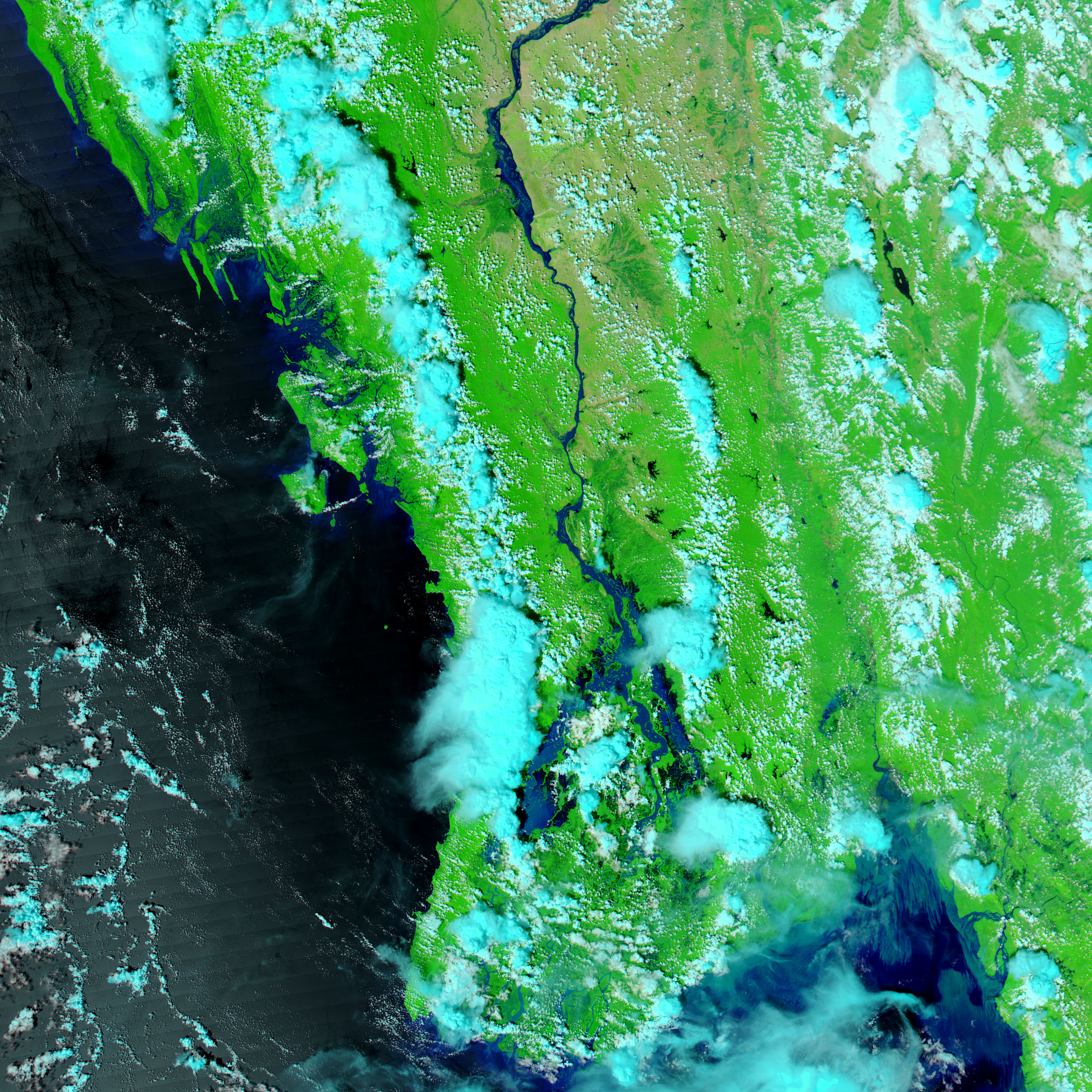
Myanmar’s Ayeyarwady (Irrawaddy) River was several times larger than its dry-season extent when the Moderate Resolution Imaging Spectroradiometer (MODIS) on NASA’s Aqua satellite captured the top image on September 26, 2007. Like many large rivers, the Ayeyarwady splits into multiple small branches (distributaries) in its delta before draining into the Andaman Sea. This image shows at least three such distributaries. Water in this false-color image is black, though the water in the river channels is colored blue by sediment. Towering rain clouds, turquoise blue in this image, still hang over the river. Lower, warmer clouds are white, and the plant-covered land is bright green.
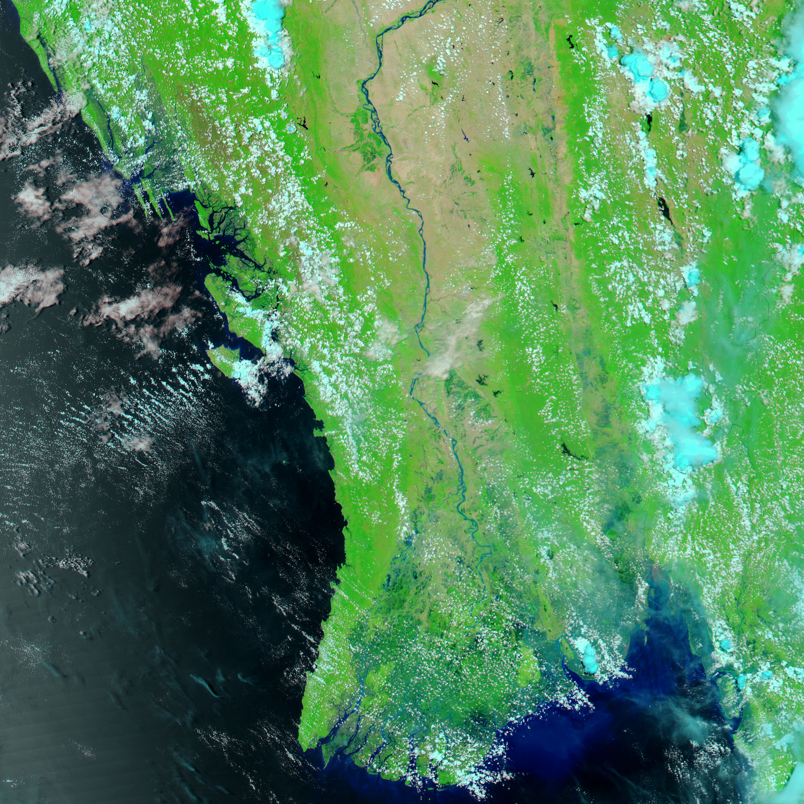
The lower image shows the river on May 28, 2007, during the dry season. Unusually heavy seasonal rains from early July through September brought flooding along the length of the Ayeyarwady. By August 29, more than 97,500 people had been affected by floods in Myanmar, said the International Federation of Red and Red Crescent Societies. Of those affected, 61,689 were in the Ayeyarwady Division, which encompasses the area shown in this image. The river was still flooded on September 26, as this image shows. According to the Department of Meteorology and Hydrology in the government of Myanmar, some stretches of the Ayeryarwady River were above their “danger levels” on September 24.
NASA images courtesy the MODIS Rapid Response Team at NASA GSFC, which provides daily images of Myanmar.


