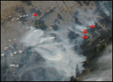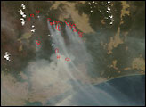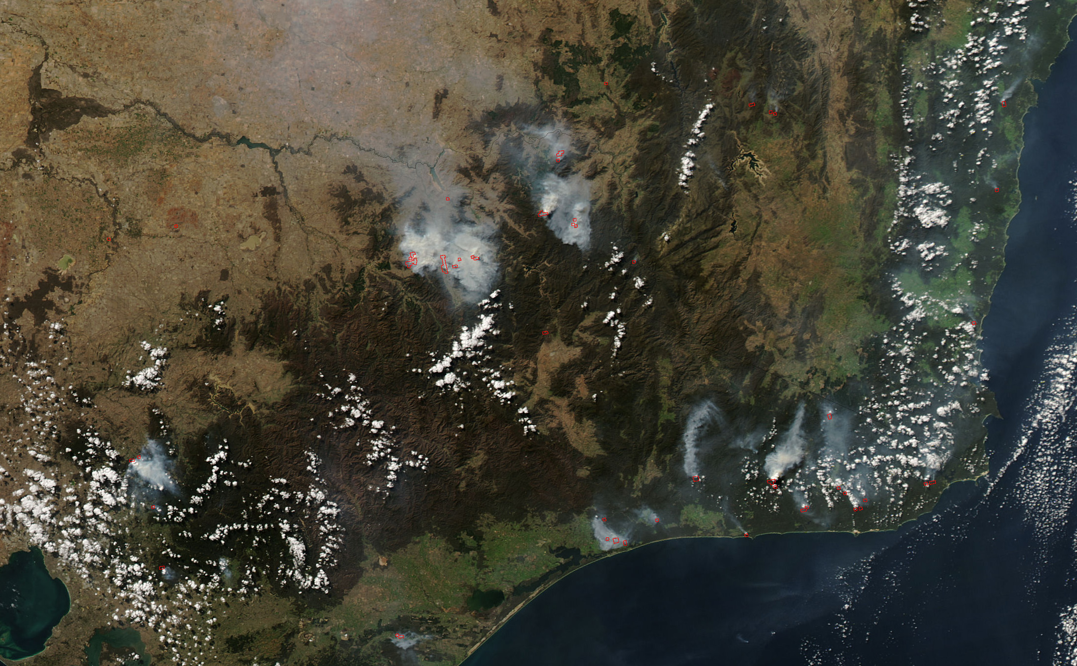
In the final week of April, clouds often blanketed southeastern Australia when the Moderate Resolution Imaging Spectroradiometer (MODIS) on NASA’s Aqua satellite passed overhead, blocking the sensor’s view of the fires that were burning in the region. On April 26, Aqua MODIS captured this image of the area, and through a parting in the thin clouds, several fires (locations marked in red) were detected in the Barry Mountains. These mountains were devastated by huge bushfires in December 2006 and January 2007.
The large image provided above has a spatial resolution (level of detail) of 250 meters per pixel. The MODIS Rapid Response Team provides twice-daily images of the region in additional resolutions.
NASA image courtesy the MODIS Rapid Response Team, Goddard Space Flight Center