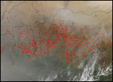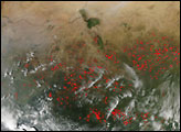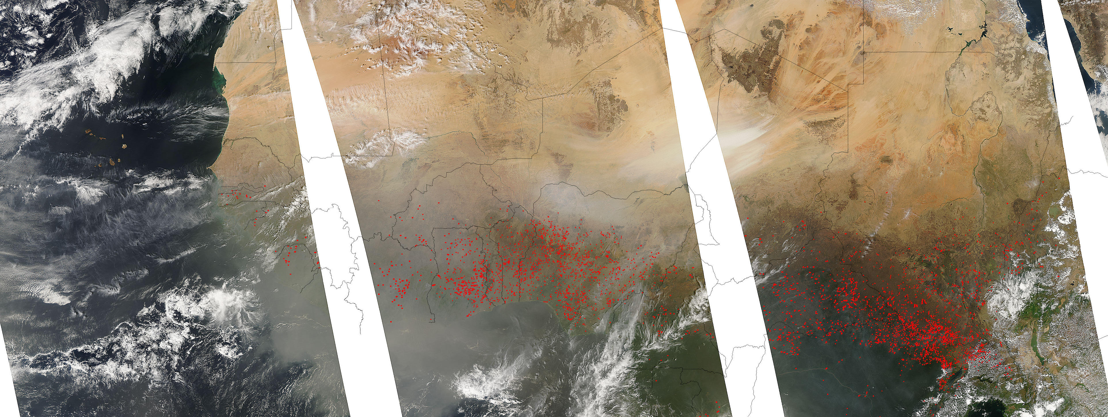
The seasonal agricultural burning in northern Africa dotted the continent with fires on January 17, 2007. This image of Africa was made by combining images captured by the Moderate Resolution Imaging Spectroradiometer (MODIS) on NASA’s Aqua satellite during three successive orbits. (The chronological order of the images is from right to left.) Places where MODIS detected actively burning fires are marked in red. Although the fires are not necessarily immediately hazardous, such large-scale burning can have a strong impact on weather, climate, human health, and natural resources.
Also obvious in the image is the dust spreading west-southwest from the Bodele Depression at the southern edge of the Sahara Desert. The remains of an ancient lake bed, the Bodele Depression is probably the largest single source of windblown dust in the world. Research indicates that more than half of the mineral dust that crosses the Atlantic and fertilizes the rain-leached soils of the Amazon Rainforest comes from there. Although some of the haze over the Gulf of Guinea and the countries to the north may be from smoke, most of it is probably dust that blew in from the Bodele Depression.
The large image provided above has a spatial resolution (level of detail) of 2 kilometers per pixel. The MODIS Rapid Response Team provides twice-daily subset images of the region in additional resolutions via a clickable map.
NASA image courtesy the MODIS Rapid Response Team, Goddard Space Flight Center