Hurricane Sergio was spinning off the coast of Mexico on the morning of November 15, 2006. Sergio was the tenth hurricane in the Eastern Pacific in 2006. When Sergio first reached tropical storm status on November 13, it broke a record set in 1961, the last time more than one tropical storm formed in the Eastern Pacific in November, according to the National Hurricane Center. Tropical Storm Rosa formed in the Eastern Pacific earlier in November 2006. While the hurricane season officially runs until the end of November, late storms are unusual. Only five other storms on record have formed later in the season than Sergio. It is also unusual for tropical storms that form this late in the season to intensify all the way to hurricane strength as Sergio did.
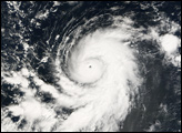
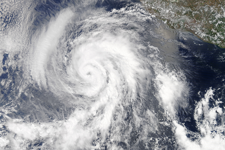
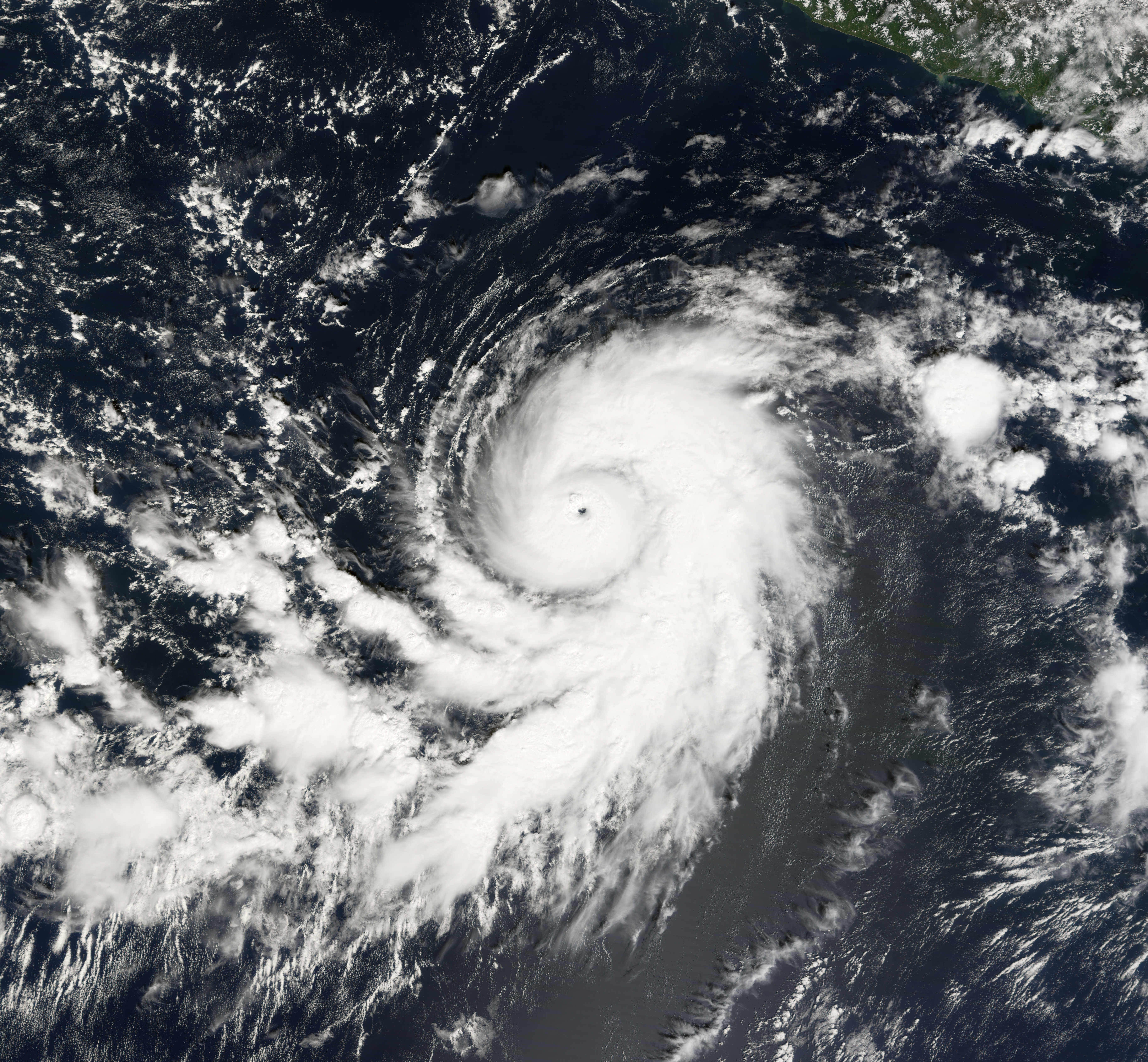
This photo-like image of Hurricane Sergio was acquired by the Moderate Resolution Imaging Spectroradiometer (MODIS) on the Terra satellite on November 15, 2006, at 17:25 UTC (10:25 a.m. local time). At this time, Sergio was a well-defined, spiral ball of clouds with a distinct central eye. Peak sustained winds were 165 kilometers per hour (105 miles per hour), according to the University of Hawaii’s Tropical Storm Information Center, making Sergio a Category 2 hurricane.
Terra MODIS saw the storm very near its peak strength. It continued to intensify slightly for a short while after MODIS obtained this image. But within hours, wind shear began to pull apart the neat organization of the storm, robbing it of power.
You can download a 250-meter-resolution KMZ file of Hurricane Sergio for use with Google Earth.
NASA image by Jesse Allen, Earth Observatory, using data provided courtesy of the MODIS Rapid Response team at Goddard Space Flight Center.