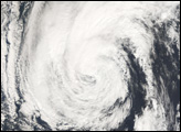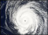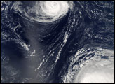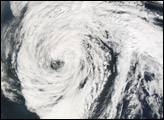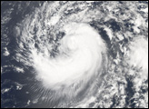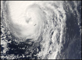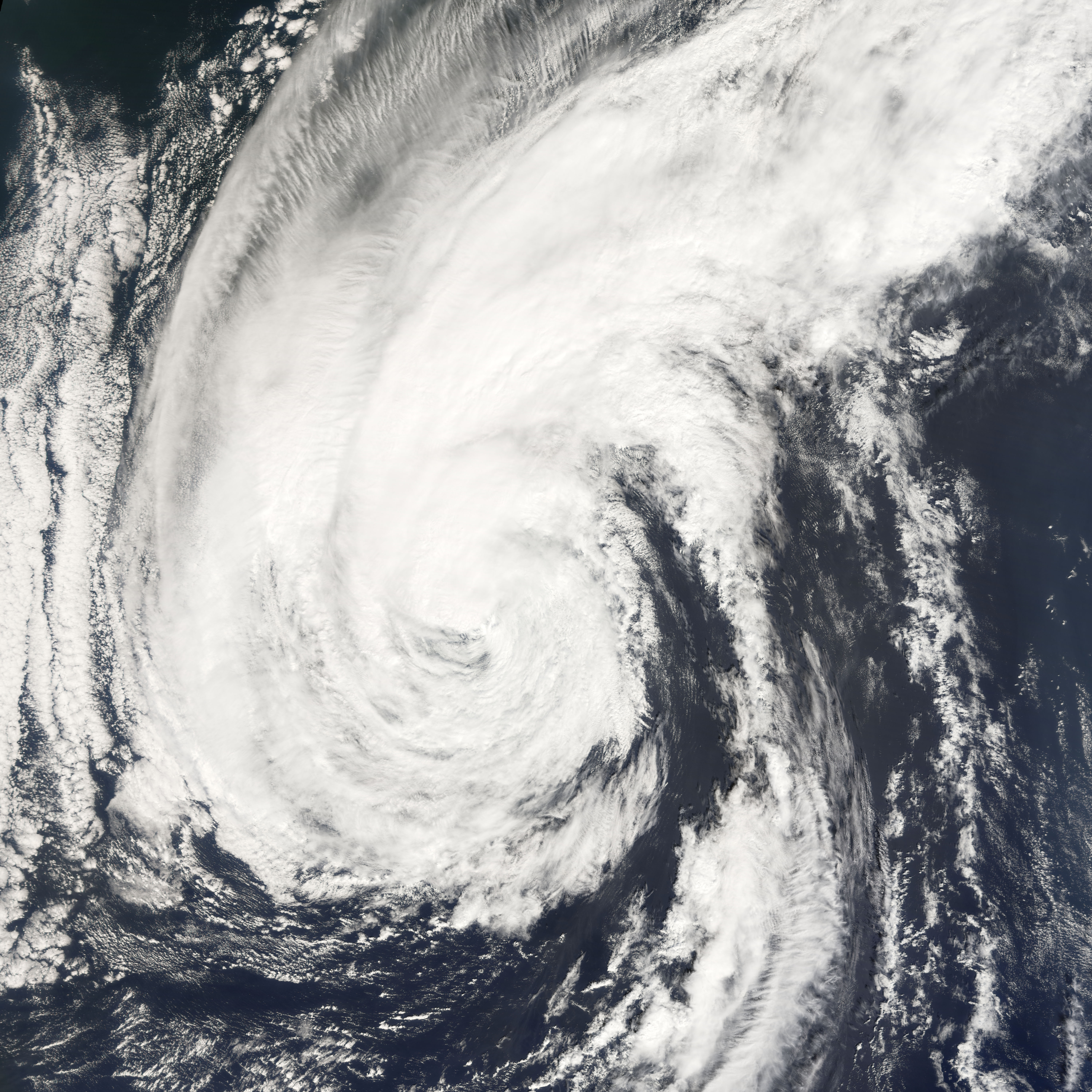
Hurricane Helene was the fourth hurricane of the 2006 Atlantic hurricane season. Like Gordon and Florence before it, Helene made no landfall over the North American mainland, where a persistent high-pressure pattern along the coast had been steering tropical storm systems away into the North Atlantic. As of September 25, Helene was a tropical storm in the northern part of the Atlantic Ocean, but it had been a powerful Category 3 hurricane for several days before its travel to the north.
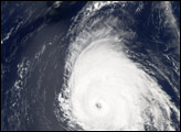
This photo-like image was acquired by the Moderate Resolution Imaging Spectroradiometer (MODIS) on NASA’s Terra satellite on September 22, 2006, at 11:15 a.m. local time (13:15 UTC). Helene is a well-defined, sprawling storm system with long spiral arms, but the center of the storm is no longer tightly wound. Cloud bands from outside the storm’s center reach into the eye, suggesting that Helene lacks a complete eyewall. Though still a very powerful hurricane at the time of the image, Helene appears to be declining in power. According to the University of Hawaii’s Tropical Storm Information Center, Helene had sustained winds reaching as high as 110 kilometers per hour (70 miles per hour).
NASA image created by Jesse Allen, Earth Observatory, using data provided courtesy of the MODIS Rapid Response team.