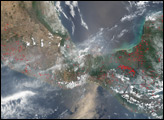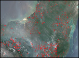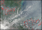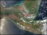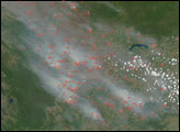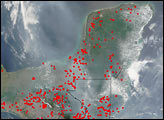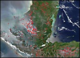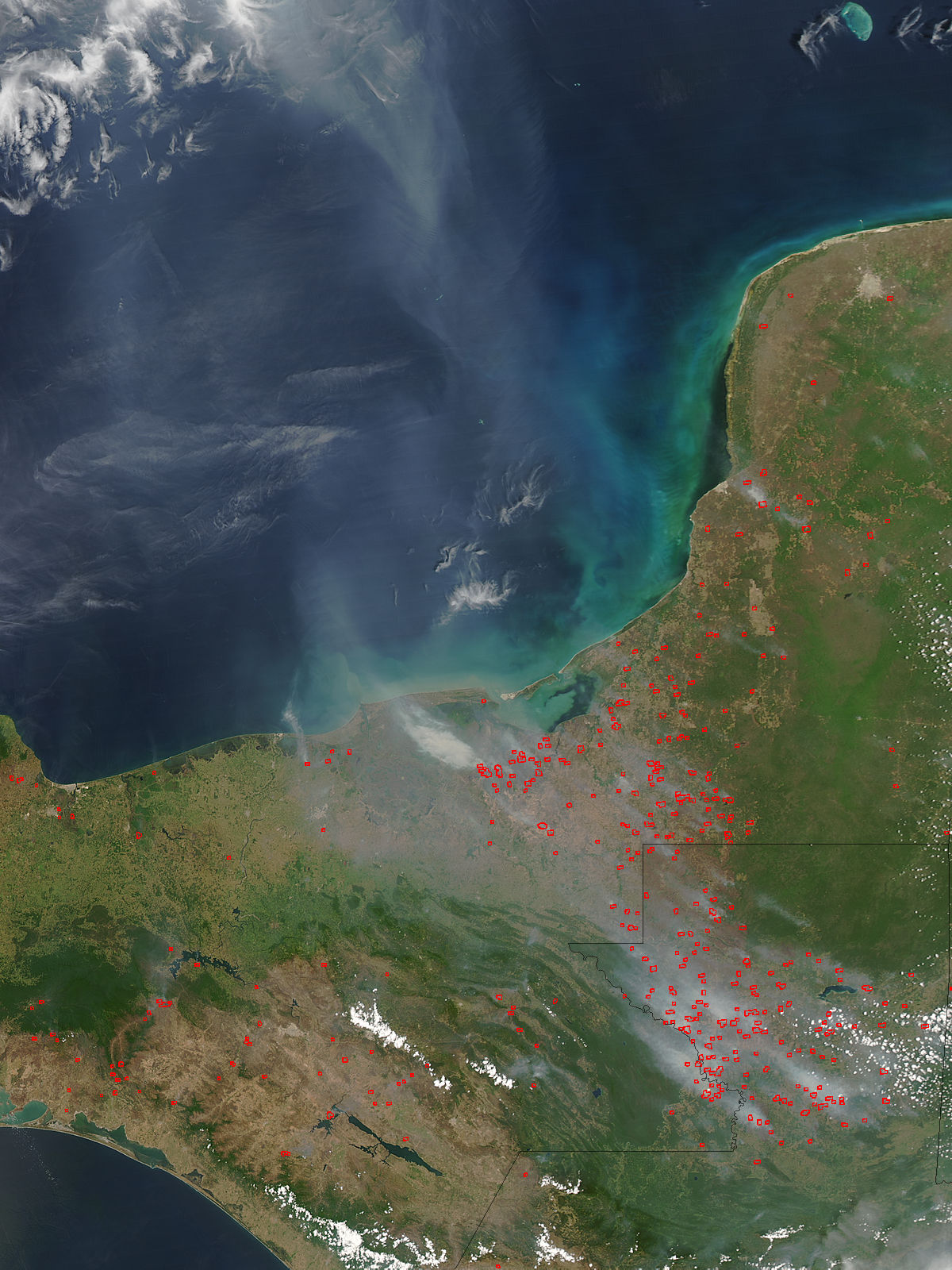
On April 10, 2005, scores of fires in southern Mexico and northern Guatemala were billowing smoke that spread northward over the Gulf of Mexico. This image of the region was captured by the Moderate Resolution Imaging Spectroradiometer (MODIS) on NASA’s Aqua satellite. Active fire locations have been marked with red dots. A high concentration of fires runs in a rough line between northwestern Guatemala and the Laguna de Terminos (image center), on the southern coast of Mexico’s Campeche state. Gray smoke spreads northward over the Gulf. The high-resolution image provided above is 500 meters per pixel. The MODIS Rapid Response System provides this image at additional resolutions.
Image courtesy Jeff Schmaltz, MODIS Rapid Response Team, NASA-GSFC