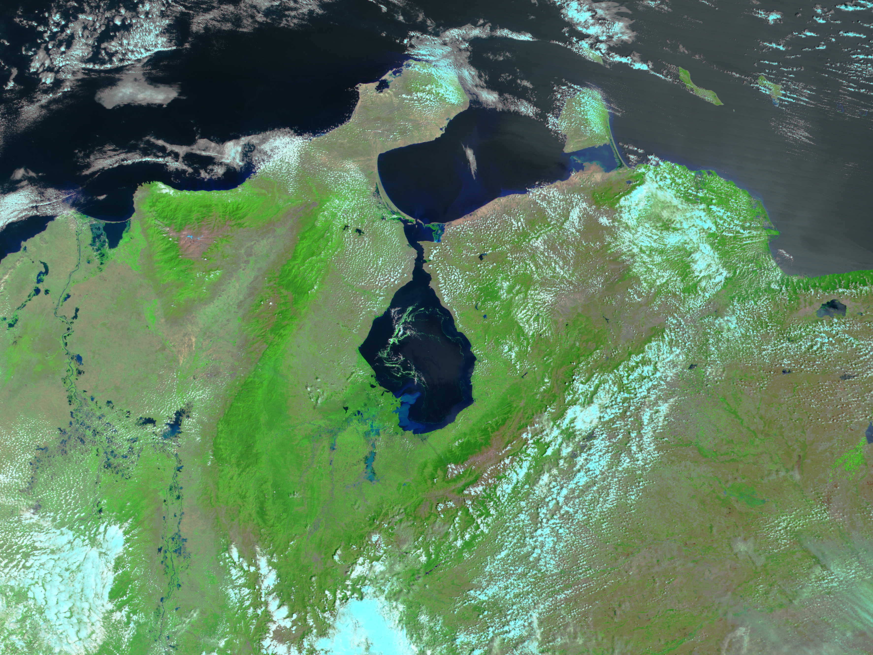
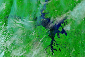
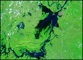
Though water levels have subsided since mid-February, the Escalante River of southwestern Venezuela and northeastern Colombia was still flooded on February 26, 2005. The floods along this river and others were triggered by days of heavy rain early in February, and resulted in nearly 100 deaths and left thousands homeless throughout both countries. In this image, taken by the Moderate Resolution Imaging Spectroradiometer (MODIS) on NASA’s Terra satellite, the muddy flood water is light blue. The river covers a broader area than it did on January 27, 2005. In both images, clouds are white and turquoise, plant-covered land is bright green, and deep, clear water is black.
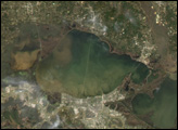
Further evidence of flooding can be seen in Lake Maracaibo in the center of the image. Flood water carries dirt into the rivers that empty into the lake. The sediment entering the lake reflects light, which makes the water appear a lighter shade of blue in satellite imagery. While sediment is present in the southwest corner of the lake on January 27, the sediment plume is much brighter and larger on February 26. On both dates, green swirls of duck weed float on the surface of the lake.
NASA image created by Jesse Allen, Earth Observatory, using data obtained from the MODIS Rapid Response team and the Goddard Land Processes DAAC.


